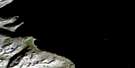
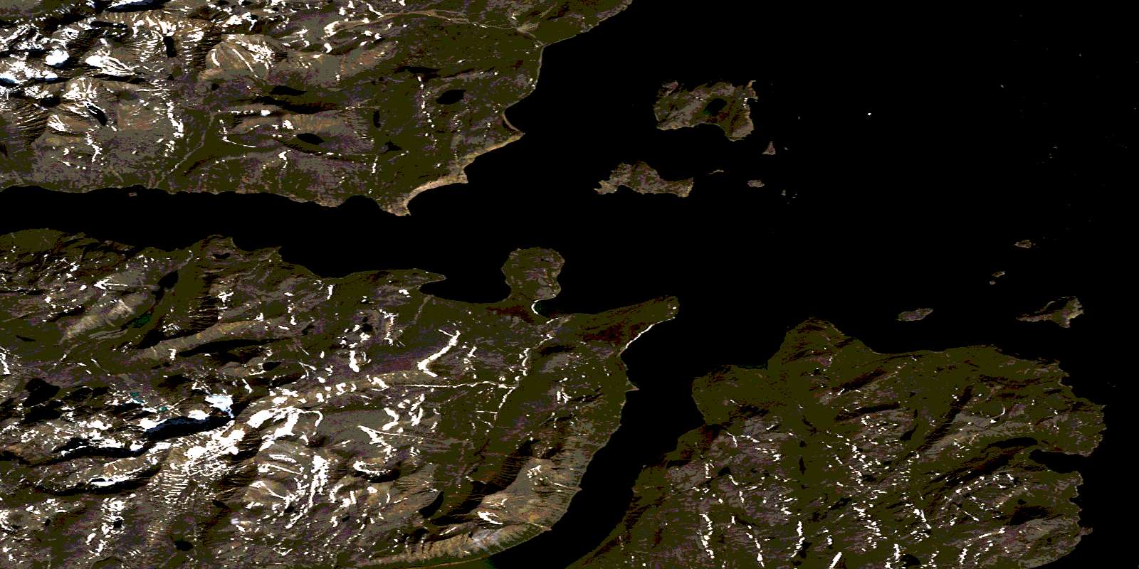
Seven Islands Bay Satellite Image Map
Download Free Aerial Photo 014M05 at 1:50,000 scale
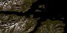
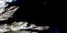
Seven Islands Bay Satellite Imagery
To view this satellite map, mouse over the air photo on the right.
You can also download this satellite image map for free:
014M05 Seven Islands Bay high-resolution satellite image map.
Maps for the Seven Islands Bay aerial map sheet 014M05 at 1:50,000 scale are also available in these versions:
Seven Islands Bay Surrounding Area Aerial Photo Maps
 |
|||
 |
 |
||
 |
 |
© Department of Natural Resources Canada. All rights reserved.
Seven Islands Bay Gazetteer
The following places can be found on satellite image map 014M05 Seven Islands Bay:
Seven Islands Bay Satellite Image: Bays
Evans BightKangalaksiorvik Fiord
KomaktorvikFiord
Seaplane Cove
Seven Islands Bay
Shoal Cove
Trout Trap Fiord
Seven Islands Bay Satellite Image: Capes
Abbate PointBrownell Point
Deacon Head
Nehungateluk Peninsula
Niakungutialuk (Big) Head
Peabody Point
Seven Islands Bay Satellite Image: Glaciers
Battlefield GlacierRoaring Glacier
Seven Islands Bay Satellite Image: Islands
Amiktok IslandBeacon Island
Big White Bearskin Island
Bryant Islands
Hogg Island
Kennard Island
Whale Island
Seven Islands Bay Satellite Image: Lakes
Talus TarnSeven Islands Bay Satellite Image: Mountains
Four PeaksMount Cornelius
Mount Roundabout
Mount Tetragona
Torngat Mountains
Torugak Mountains
Seven Islands Bay Satellite Image: Conservation areas
Parc national du Canada des Monts-TorngatRéserve de parc national du Canada des Monts-Torngat
Torngat Mountains National Park of Canada
Torngat Mountains National Park Reserve of Canada
Seven Islands Bay Satellite Image: Shoals
Lone RockNautilus Rocks
© Department of Natural Resources Canada. All rights reserved.
