Iron Strand Satellite Image Map
Download Free Aerial Photo 014M12 at 1:50,000 scale
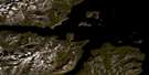
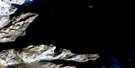
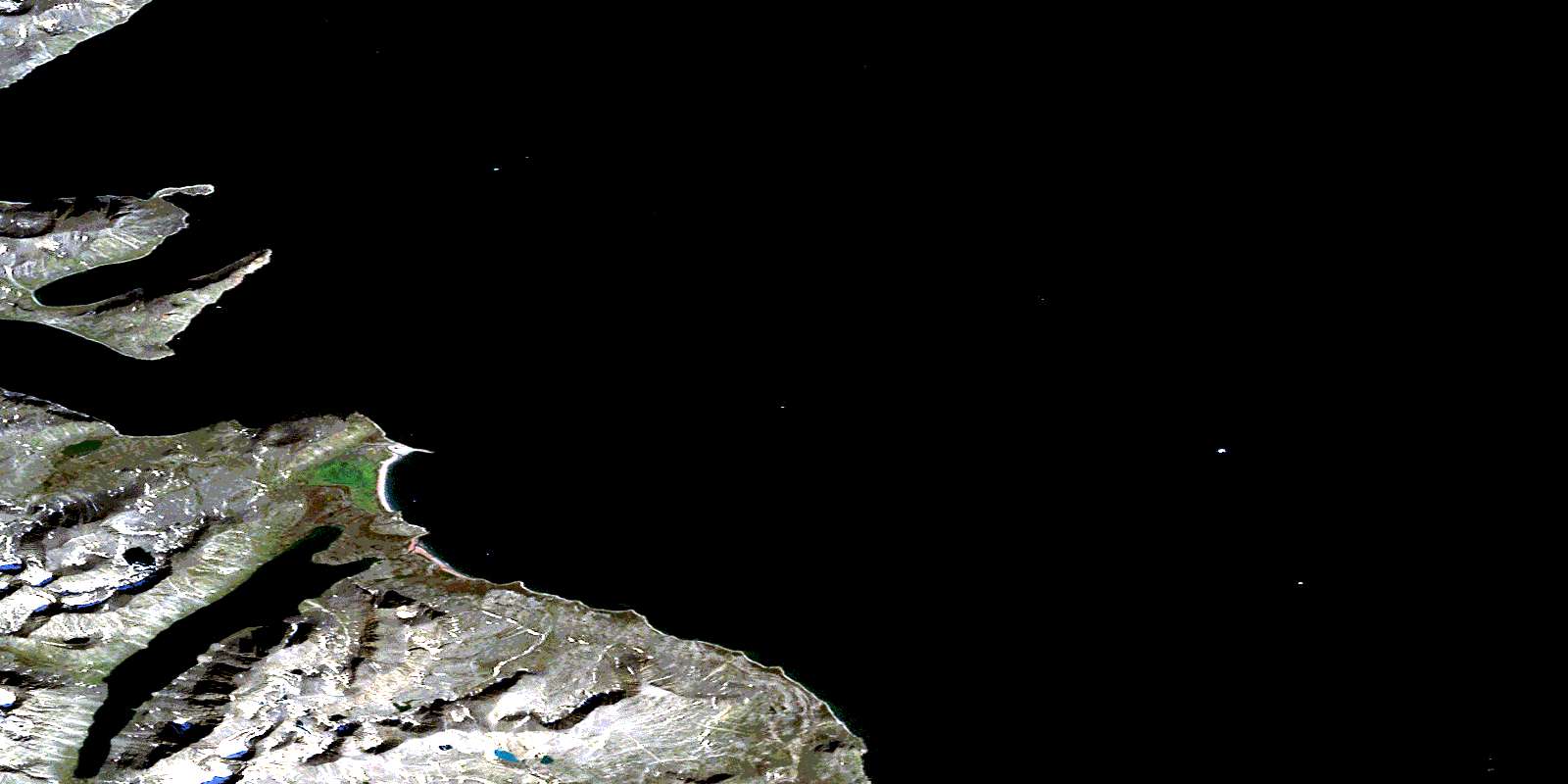
Iron Strand Satellite Imagery
To view this satellite map, mouse over the air photo on the right.
You can also download this satellite image map for free:
014M12 Iron Strand high-resolution satellite image map.
Maps for the Iron Strand aerial map sheet 014M12 at 1:50,000 scale are also available in these versions:
Iron Strand Surrounding Area Aerial Photo Maps
 |
|||
 |
 |
||
 |
 |
© Department of Natural Resources Canada. All rights reserved.
Iron Strand Gazetteer
The following places can be found on satellite image map 014M12 Iron Strand:
Iron Strand Satellite Image: Bays
Kangardluaksuk BayRyans Bay
Iron Strand Satellite Image: Beaches
Iron StrandIron Strand Satellite Image: Capes
Collins PointGoodfellow Peninsula
Hassell Head
Murphy Head
Osborne Point
Pemeluak Peninsula
Iron Strand Satellite Image: Channels
Eclipse ChannelIron Strand Satellite Image: Glaciers
Roaring GlacierIron Strand Satellite Image: Lakes
Howard LakeMartin Head Tarn
Miriam Lake
Iron Strand Satellite Image: Mountains
Darby PeakFour Peaks
Mount Ford
Mount Pinsent
Noble Peak
Shittamat Peak
Torngat Mountains
Torugak Mountains
Iron Strand Satellite Image: Rivers
Helga RiverIron Strand Satellite Image: Shoals
Dry ReefHogs Back Reef
© Department of Natural Resources Canada. All rights reserved.
