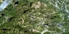
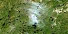
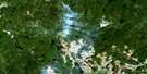
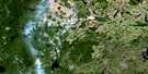
Lac Auriac Satellite Image Map
Download Free Aerial Photo 022K13 at 1:50,000 scale
Lac Auriac Satellite Imagery
To view this satellite map, mouse over the air photo on the right.
You can also download this satellite image map for free:
022K13 Lac Auriac high-resolution satellite image map.
Maps for the Lac Auriac aerial map sheet 022K13 at 1:50,000 scale are also available in these versions:
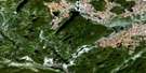
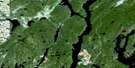
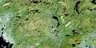
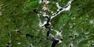
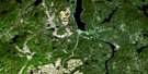
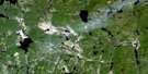
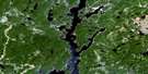
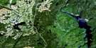
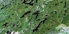
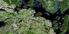
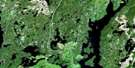
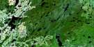
Lac Auriac Surrounding Area Aerial Photo Maps
 |
 |
 |
 |
 |
 |
 |
 |
 |
 |
 |
 |
 |
 |
 |
 |
© Department of Natural Resources Canada. All rights reserved.
Lac Auriac Gazetteer
The following places can be found on satellite image map 022K13 Lac Auriac:
Lac Auriac Satellite Image: Channels
Détroit des Fesses SerréesLac Auriac Satellite Image: Lakes
Lac AuriacLac Chaudière
Lac Croche
Lac de la Charrue
Lac de la Crête
Lac de la Renoncule
Lac de la Volute
Lac des Annie
Lac des François
Lac des Îles
Lac du Canotier
Lac du Fanfaron
Lac du Tortillon
Lac en V
Lac Garneau-Gagnon
Lac Hauteur
Lac Labbé
Lac Maigre
Lac Polan
Lac Roquemont
Lac Vannes
Petit lac à l'Argent
Petit lac en V
Lac Auriac Satellite Image: Mountains
Mont du MammouthLac Auriac Satellite Image: Rivers
Rivière à l'ArgentRivière Auriac
Rivière aux Outardes
Rivière aux Pékans
Rivière aux Poissons
Rivière Canton
Rivière Chaudière
Rivière Croche
Rivière Croche
Rivière Écho
Rivière Legarrec
Rivière Roquemont
Rivière Vannes
Ruisseau de la Bernache
Lac Auriac Satellite Image: River features
Coude du Canotier
© Department of Natural Resources Canada. All rights reserved.
022K Related Maps:
022K Lac Berte022K01 Lac Saint-Pierre
022K02 Lac Gaillard
022K03
022K04 Lac Praslin
022K05 Lac Tremaudan
022K06E Lac Blanzy
022K06W Lac Blanzy
022K07 Lac Okaopeo
022K08 Lac Clairval
022K09 Lac Lemay
022K10 Lac De La Cache
022K11 Lac Hermas
022K12E Lac A L'Argent
022K12W Lac A L'Argent
022K13 Lac Auriac
022K14E Lac Guinecourt
022K14W Lac Guinecourt
022K15 Lac Du Bois Long
022K16 Lac Mistachagagane
