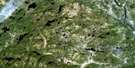
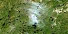
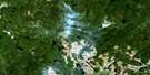
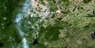
Lac Hermas Satellite Image Map
Download Free Aerial Photo 022K11 at 1:50,000 scale
Lac Hermas Satellite Imagery
To view this satellite map, mouse over the air photo on the right.
You can also download this satellite image map for free:
022K11 Lac Hermas high-resolution satellite image map.
Maps for the Lac Hermas aerial map sheet 022K11 at 1:50,000 scale are also available in these versions:
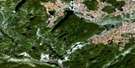
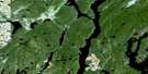
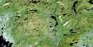
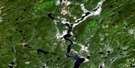
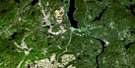
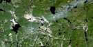
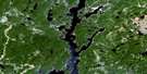
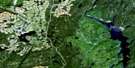
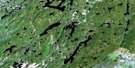
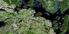
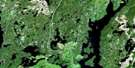
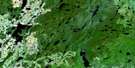
Lac Hermas Surrounding Area Aerial Photo Maps
 |
 |
 |
 |
 |
 |
 |
 |
 |
 |
 |
 |
 |
 |
 |
 |
© Department of Natural Resources Canada. All rights reserved.
Lac Hermas Gazetteer
The following places can be found on satellite image map 022K11 Lac Hermas:
Lac Hermas Satellite Image: Bays
Baie de la FaiblesseBaie du Uapush Ushtikuan
Lac Hermas Satellite Image: Lakes
Lac de la Bonne AnnéeLac de la Cache Volée
Lac de la Cépée
Lac de la Faiblesse
Lac de la Pantoufle
Lac des Boutures
Lac des Brins
Lac des Drageons
Lac des Germinats
Lac des Marcottes
Lac des Mors
Lac des Mulls
Lac des Plantes-Mères
Lac des Ricaneuses
Lac des Spores
Lac des Tiges
Lac Double
Lac du Bois Debout
Lac du Chat Gourmand
Lac du Poêle
Lac Fer à Cheval
Lac Hermas
Lac Lemieux
Lac Mignon
Lac Norbert
Lac Picard
Lac Picard Sud
Lac Sapin
Lac Uapush Ushtikuan
Lacs Doubles
Lacs Frère et Soeur
Lacs Shuliau
Réservoir aux Outardes 4
Réservoir Outardes Quatre
Lac Hermas Satellite Image: Rivers
Rivière à la VaseRivière aux Outardes
Rivière aux Poissons
Rivière Blanzy
Rivière Castoréum
Rivière Croche
Rivière Crooked
Rivière des Chutes
Rivière du Bois Long
Rivière du Grand Brûlé
Rivière Paradis
Ruisseau Uapush Ushtikuan
Upishkutuian
Lac Hermas Satellite Image: Low vegetation
Marais Brûlant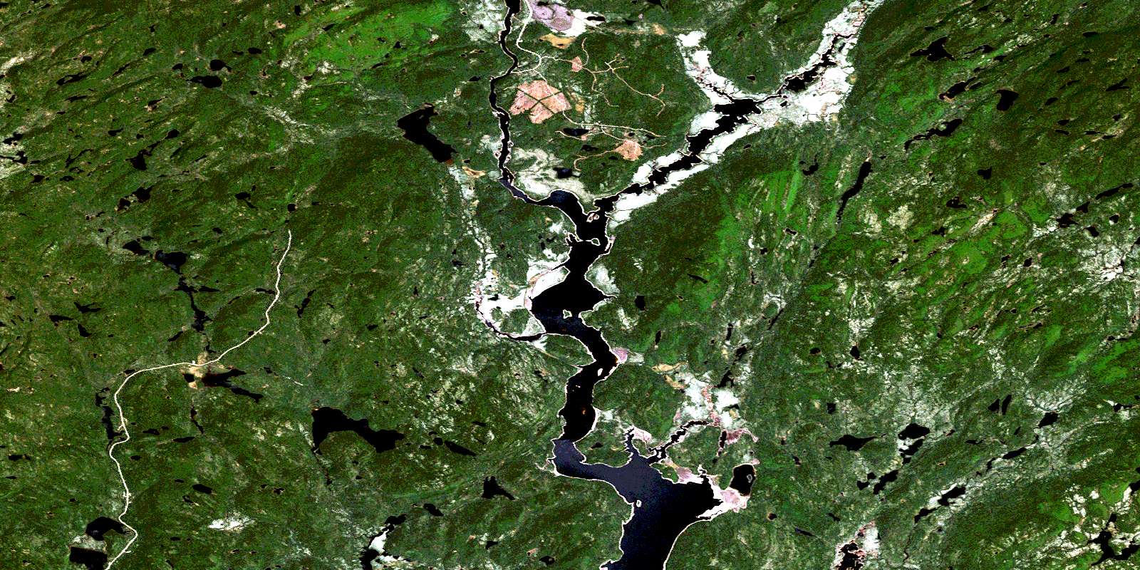
© Department of Natural Resources Canada. All rights reserved.
022K Related Maps:
022K Lac Berte022K01 Lac Saint-Pierre
022K02 Lac Gaillard
022K03
022K04 Lac Praslin
022K05 Lac Tremaudan
022K06E Lac Blanzy
022K06W Lac Blanzy
022K07 Lac Okaopeo
022K08 Lac Clairval
022K09 Lac Lemay
022K10 Lac De La Cache
022K11 Lac Hermas
022K12E Lac A L'Argent
022K12W Lac A L'Argent
022K13 Lac Auriac
022K14E Lac Guinecourt
022K14W Lac Guinecourt
022K15 Lac Du Bois Long
022K16 Lac Mistachagagane
