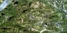
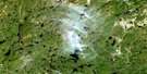
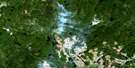
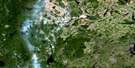
Lac Mistachagagane Satellite Image Map
Download Free Aerial Photo 022K16 at 1:50,000 scale
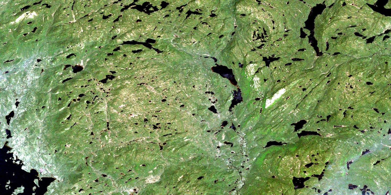
Lac Mistachagagane Satellite Imagery
To view this satellite map, mouse over the air photo on the right.
You can also download this satellite image map for free:
022K16 Lac Mistachagagane high-resolution satellite image map.
Maps for the Lac Mistachagagane aerial map sheet 022K16 at 1:50,000 scale are also available in these versions:
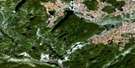
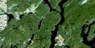
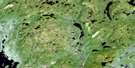
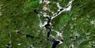
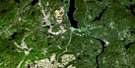
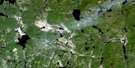
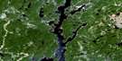
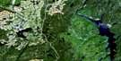
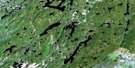
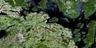
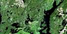
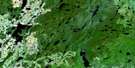
Lac Mistachagagane Surrounding Area Aerial Photo Maps
 |
 |
 |
 |
 |
 |
 |
 |
 |
 |
 |
 |
 |
 |
 |
 |
© Department of Natural Resources Canada. All rights reserved.
Lac Mistachagagane Gazetteer
The following places can be found on satellite image map 022K16 Lac Mistachagagane:
Lac Mistachagagane Satellite Image: Lakes
Lac BertéLac Cimon
Lac Citadelle
Lac de la Musaraigne
Lac des Granulites
Lac des Neiges
Lac du Gneiss
Lac du Talweg
Lac du Toit Rouge
Lac Mistachagagane
Lac Rapide
Lac Tête de Caribou
Lac Mistachagagane Satellite Image: Rivers
Rivière AguenierRivière Bédard
Rivière des Rétrécissements
Rivière Fontmarais
Rivière Lemay
Rivière Plate
Rivière Renwick
Ruisseau Juliette
Ruisseau Robert
Ruisseau Rocheleau
© Department of Natural Resources Canada. All rights reserved.
022K Related Maps:
022K Lac Berte022K01 Lac Saint-Pierre
022K02 Lac Gaillard
022K03
022K04 Lac Praslin
022K05 Lac Tremaudan
022K06E Lac Blanzy
022K06W Lac Blanzy
022K07 Lac Okaopeo
022K08 Lac Clairval
022K09 Lac Lemay
022K10 Lac De La Cache
022K11 Lac Hermas
022K12E Lac A L'Argent
022K12W Lac A L'Argent
022K13 Lac Auriac
022K14E Lac Guinecourt
022K14W Lac Guinecourt
022K15 Lac Du Bois Long
022K16 Lac Mistachagagane
