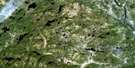
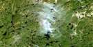
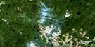
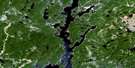
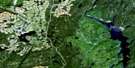
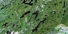
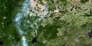
Satellite Image Map
Download Free Aerial Photo 022K03 at 1:50,000 scale
Satellite Imagery
To view this satellite map, mouse over the air photo on the right.
You can also download this satellite image map for free:
022K03 high-resolution satellite image map.
Maps for the aerial map sheet 022K03 at 1:50,000 scale are also available in these versions:
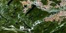
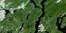
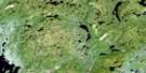
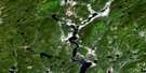
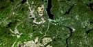
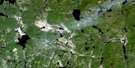
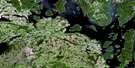
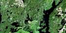
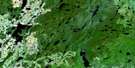
Surrounding Area Aerial Photo Maps
 |
 |
 |
 |
 |
 |
 |
 |
 |
 |
 |
 |
 |
 |
 |
 |
© Department of Natural Resources Canada. All rights reserved.
Gazetteer
The following places can be found on satellite image map 022K03 :
Satellite Image: Bays
Baie à GeorgesBaie à Jos
Baie de la Tour
Baie des Trente-Trois Îles
Baie du Grand Chenal
Baie du Ti-Casque
Baie du Uapush Ushtikuan
Baie Hulot
Baie Otis
Satellite Image: Channels
Le Grand ChenalPasse des Grosses Vagues
Satellite Image: Islands
Île aux DindonsÎle du Gros Orteil
Île du Vieil Indien
Île Hulot
Satellite Image: Lakes
Lac à RickLac Alien
Lac Bibite
Lac Bidule
Lac Carré Pointu
Lac De La Blache
Lac de la Cache à Georges
Lac de la Palette
Lac de la Swamp à Paul
Lac de l'Écervelé
Lac de l'École
Lac de l'Île à François
Lac des Passes Dangereuses
Lac Dino
Lac du Chat Paisible
Lac du Chenal
Lac du Cobra
Lac du Pavage
Lac du Ti-Casque
Lac Égagropil
Lac Funny
Lac Goggle
Lac Hulot
Lac Jean
Lac John-Beer
Lac la Pipe
Lac Louis
Lac Machin
Lac Philo
Lac Pierrot
Lac Playboy
Lac Renard
Lac Rérock
Lac Talon Haut
Lac Wéso
Petit lac Andrée
Petit lac Romain
Réservoir aux Outardes 4
Réservoir Outardes Quatre
Satellite Image: Rivers
Rivière aux OutardesRivière aux Poissons
Rivière Crochue
Rivière du Remous
Rivière Hulot
Satellite Image: Unincorporated areas
Le Triangle-des-Outardes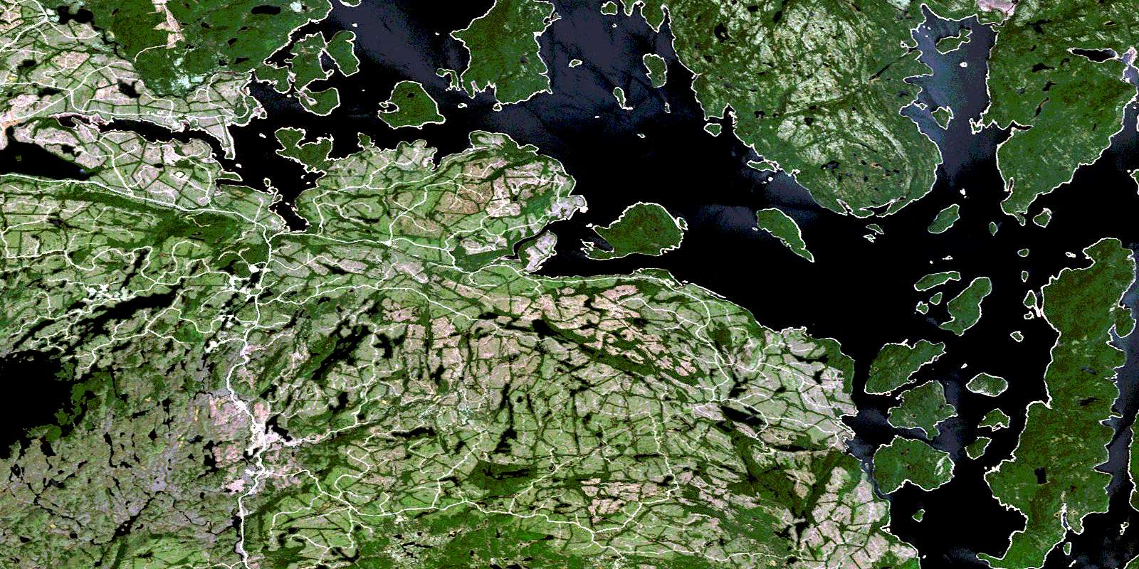
© Department of Natural Resources Canada. All rights reserved.
022K Related Maps:
022K Lac Berte022K01 Lac Saint-Pierre
022K02 Lac Gaillard
022K03
022K04 Lac Praslin
022K05 Lac Tremaudan
022K06E Lac Blanzy
022K06W Lac Blanzy
022K07 Lac Okaopeo
022K08 Lac Clairval
022K09 Lac Lemay
022K10 Lac De La Cache
022K11 Lac Hermas
022K12E Lac A L'Argent
022K12W Lac A L'Argent
022K13 Lac Auriac
022K14E Lac Guinecourt
022K14W Lac Guinecourt
022K15 Lac Du Bois Long
022K16 Lac Mistachagagane
