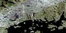
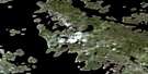
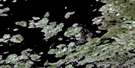
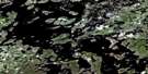
Satellite Image Map
Download Free Aerial Photo 023K04 at 1:50,000 scale
Satellite Imagery
To view this satellite map, mouse over the air photo on the right.
You can also download this satellite image map for free:
023K04 high-resolution satellite image map.
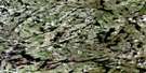
Maps for the aerial map sheet 023K04 at 1:50,000 scale are also available in these versions:
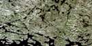
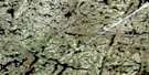
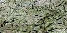
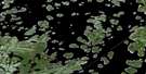
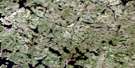
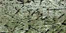
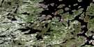
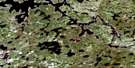
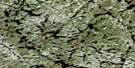
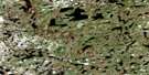
Surrounding Area Aerial Photo Maps
 |
 |
 |
 |
 |
 |
 |
 |
 |
 |
 |
 |
 |
 |
 |
 |
© Department of Natural Resources Canada. All rights reserved.
Gazetteer
The following places can be found on satellite image map 023K04 :
Satellite Image: Capes
Le Point de MireSatellite Image: Islands
La Belle BrumeLa Bête Céleste
La Charpente Charnelle
La Fée des Étoiles
La Femme de Sable
La Marie-Tempête
La Neigerie
La Petite Patrie
La Saison des Belles
La Statue de Fer
La Traversée de la Nuit
L'Adidouce
L'Ange du Matin
L'Archange du Faubourg
Le Brasier des Vents
Le Chant des Sirènes
Le Coeur Éclaté
Le Fracas des Passions
Le Grand Brûle-Veine
Le Jardin au Bout du Monde
Le Lion à la Tête Coupée
Le Survenant
Le Tonnerre Souterrain
L'Herbe Rebelle
L'Insoumise
L'Oubli des Sages
Satellite Image: Lakes
Lac CaniapiscauLac du Château
Lac Wauguash
Réservoir de Caniapiscau

© Department of Natural Resources Canada. All rights reserved.
023K Related Maps:
023K Caniapiscau023K01 Lac Longrais
023K02 Lac Malapart
023K03 Lac Pierron
023K04
023K05 Lac Salvert
023K06 Lac Lantagnac
023K07 Lac Rousson
023K08 Lac Delornieu
023K09 Lac Bessieres
023K10 Lac Fauques
023K11 Lac Presles
023K12 Lac Sorelet
023K13 Lac Pau
023K14 Lac Lagny
023K15 Lac Costebelle
023K16 Lac Lachaussee
