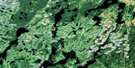
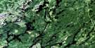
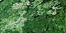
Lac Megiscane Satellite Image Map
Download Free Aerial Photo 032B12 at 1:50,000 scale
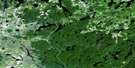
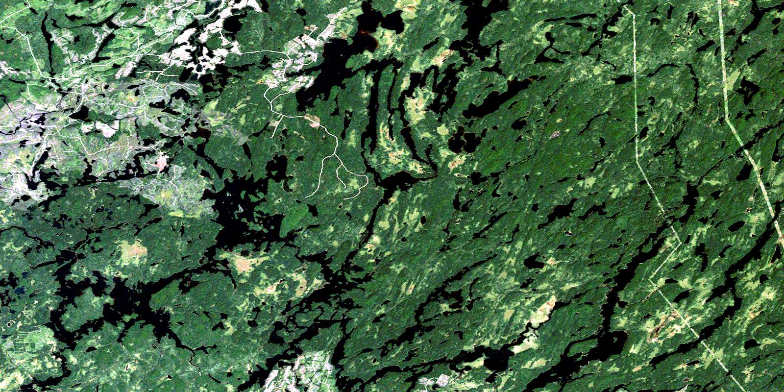
Lac Megiscane Satellite Imagery
To view this satellite map, mouse over the air photo on the right.
You can also download this satellite image map for free:
032B12 Lac Megiscane high-resolution satellite image map.
Maps for the Lac Megiscane aerial map sheet 032B12 at 1:50,000 scale are also available in these versions:
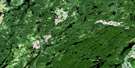
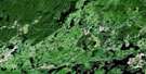
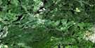
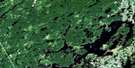
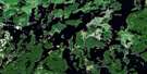
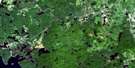
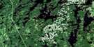
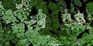
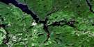
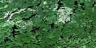
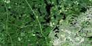
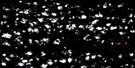
Lac Megiscane Surrounding Area Aerial Photo Maps
 |
 |
 |
 |
 |
 |
 |
 |
 |
 |
 |
 |
 |
 |
 |
 |
© Department of Natural Resources Canada. All rights reserved.
Lac Megiscane Gazetteer
The following places can be found on satellite image map 032B12 Lac Megiscane:
Lac Megiscane Satellite Image: Bays
Baie des LoupsBaie Noiseux
Lac Nouseix
Lac Megiscane Satellite Image: Capes
Pointe à MorleyLac Megiscane Satellite Image: Cliffs
Falaise KakwiskwapiskakLac Megiscane Satellite Image: Geographical areas
BernierCherrier
Closse
Deschamps
Hanotaux
Juneau
Kalm
Logan
Maseres
Masères
Mesplet
Noiseux
Lac Megiscane Satellite Image: Islands
Île au RenardLac Megiscane Satellite Image: Lakes
AmikotcitcKapiremiciskak
Katwapiskitewakamak
Lac à l'Ours
Lac Alex
Lac Alphonse
Lac Amikoteite
Lac Arlette
Lac aux Huards
Lac Bucky
Lac Canusio
Lac Cherrier
Lac Closse
Lac des Terrasses
Lac Deschamps
Lac Dumont
Lac Kawacekamik
Lac Mégiscane
Lac Mercier
Lac Mercier
Lac Mesplet
Lac Misères
Lac Ouiscatis
Lac Pascagama
Lac Saint-Cyr
Maskotirikan
Matciskan
Lac Megiscane Satellite Image: Rapids
Rapides TcitcicLac Megiscane Satellite Image: Rivers
Nimew SipiOkamakamaw Sipi
Rivière Chartrand
Rivière Closse
Rivière de l'Aigle
Rivière Logan
Rivière Mégiscane
Rivière Pascagama
Rivière Saint-Cyr Sud
Ruisseau Berthelot
Ruisseau Mercier
© Department of Natural Resources Canada. All rights reserved.
032B Related Maps:
032B Reservoir Gouin032B01 Lac Decelles
032B02 Lac Dugre
032B03 Clova
032B04 Lac Choiseul
032B05 Lac Bongard
032B06 Baie Saraana
032B07 Lac Nemio
032B08 Barrage-Gouin
032B09 Lac Deziel
032B10 Lac Duchet
032B11 Baie Plamondon
032B12 Lac Megiscane
032B13 Lac Mesplet
032B14 Lac Lagace
032B15 Lac Baptiste
032B16 Lac Dubois
