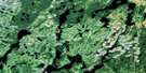
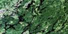
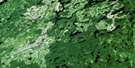
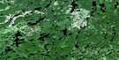
Lac Mesplet Satellite Image Map
Download Free Aerial Photo 032B13 at 1:50,000 scale
Lac Mesplet Satellite Imagery
To view this satellite map, mouse over the air photo on the right.
You can also download this satellite image map for free:
032B13 Lac Mesplet high-resolution satellite image map.
Maps for the Lac Mesplet aerial map sheet 032B13 at 1:50,000 scale are also available in these versions:
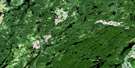
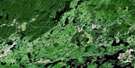
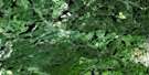
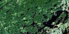
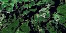
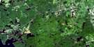
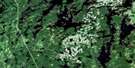
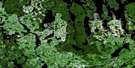
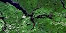
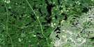
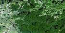
Lac Mesplet Surrounding Area Aerial Photo Maps
 |
 |
 |
 |
 |
 |
 |
 |
 |
 |
 |
 |
 |
 |
 |
 |
© Department of Natural Resources Canada. All rights reserved.
Lac Mesplet Gazetteer
The following places can be found on satellite image map 032B13 Lac Mesplet:
Lac Mesplet Satellite Image: Bays
Baie de la TruiteBaie des Cèdres
Baie du Sauvage
Baie du Vieux Campement
Lac Mesplet Satellite Image: Channels
Passe MespletLac Mesplet Satellite Image: Geographical areas
BaillyBarry
Coursol
Juneau
Kalm
Lacroix
Maseres
Masères
Mesplet
Souart
Lac Mesplet Satellite Image: Islands
Île des CampsLac Mesplet Satellite Image: Lakes
AmikotcitcKaaiakotakakamak
Kapaskinocewaniwak
Lac Alphonse
Lac Anna
Lac aux Canards
Lac aux Loutres
Lac Bailly
Lac Banane
Lac Barry
Lac Baruel
Lac Bourdes
Lac Brentigny
Lac Bud
Lac Christin
Lac Conrad
Lac de l'Eau Verte
Lac Delafond
Lac Denevers
Lac Destera
Lac Duplais
Lac Frank
Lac Frouard
Lac Gardet
Lac Germanneau
Lac Goyaud
Lac Kalm
Lac Kice Amikotcitc
Lac La Saulaye
Lac Lapointe
Lac Larouche
Lac Limpide
Lac Lunch
Lac Marceau
Lac Maseres
Lac Matawafish
Lac Mesplet
Lac Minson
Lac Mongodon
Lac Mouchel
Lac Mystery
Lac Perrotin
Lac Portage
Lac Pougret
Lac Robertine
Lac Roger
Lac Saint-Cyr
Lac Vandamont
Lac Walley
Lac Yvelin
Maskotirikan
Lac Mesplet Satellite Image: Rivers
Rivière de l'AigleRivière Macho
Rivière Saint-Cyr
Rivière Saint-Cyr Sud
Ruisseau Anna
Lac Mesplet Satellite Image: Unincorporated areas
Rikitakikok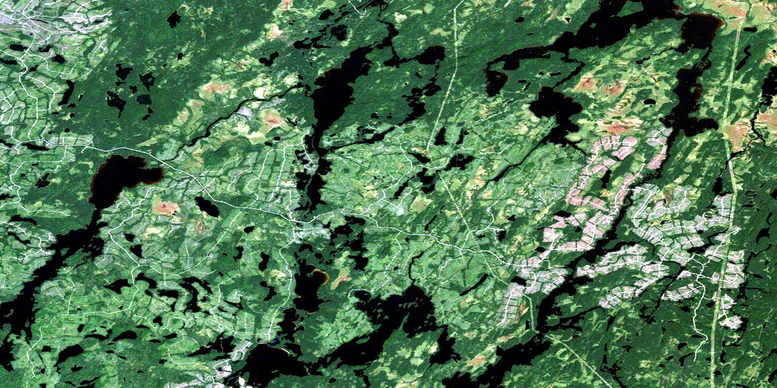
© Department of Natural Resources Canada. All rights reserved.
032B Related Maps:
032B Reservoir Gouin032B01 Lac Decelles
032B02 Lac Dugre
032B03 Clova
032B04 Lac Choiseul
032B05 Lac Bongard
032B06 Baie Saraana
032B07 Lac Nemio
032B08 Barrage-Gouin
032B09 Lac Deziel
032B10 Lac Duchet
032B11 Baie Plamondon
032B12 Lac Megiscane
032B13 Lac Mesplet
032B14 Lac Lagace
032B15 Lac Baptiste
032B16 Lac Dubois
