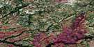
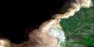
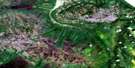
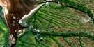
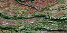
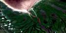
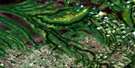
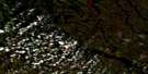
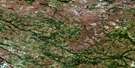
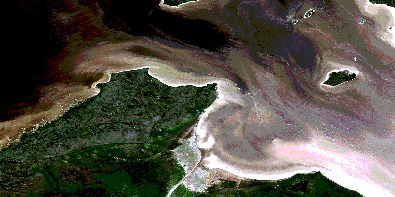
Cabbage Willows Bay Satellite Image Map
Download Free Aerial Photo 032M11 at 1:50,000 scale
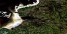
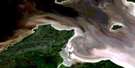
Cabbage Willows Bay Satellite Imagery
To view this satellite map, mouse over the air photo on the right.
You can also download this satellite image map for free:
032M11 Cabbage Willows Bay high-resolution satellite image map.
Maps for the Cabbage Willows Bay aerial map sheet 032M11 at 1:50,000 scale are also available in these versions:
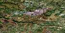
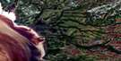
Cabbage Willows Bay Surrounding Area Aerial Photo Maps
 |
 |
||
 |
 |
 |
|
 |
 |
 |
 |
 |
 |
 |
 |
© Department of Natural Resources Canada. All rights reserved.
Cabbage Willows Bay Gazetteer
The following places can be found on satellite image map 032M11 Cabbage Willows Bay:
Cabbage Willows Bay Satellite Image: Bays
Anse MalletBaie Cabbage Willows
Baie de Rupert
Baie James
Cabbage Willows Bay
James Bay
Mallet Cove
Rupert Bay
Cabbage Willows Bay Satellite Image: Capes
Péninsule MinistikawatinPointe à l'Ours Noir
Pointe Black Bear
Pointe Bossard
Pointe Cachechu
Pointe Comfort
Pointe de la Consolation
Pointe de la Fougère Rouge
Pointe Saouayane
Cabbage Willows Bay Satellite Image: Channels
Boat PassageInenew Passage
Cabbage Willows Bay Satellite Image: Forests
Bosquet Emichiwasihach KaneyaskweyachCabbage Willows Bay Satellite Image: Islands
Brossard IslandGushue Island
Île Bossard
Île Kaispapiskach
Île Moore
Île Prophet
Île Sipasinekw
Île Stag
Île Ustuwinan
Île Wau
Jacob Island
Moore Island
Moss Island
Prophet Island
Rocher Hallé
Rocher Iyikan Kaiskwach
Rocher Kamischapiskach
Rocher Kautehapiskuch
Rochers Dufourmentel
Rochers McNab
Stag Island
Cabbage Willows Bay Satellite Image: Mountains
Colline MinistikatimiuchCabbage Willows Bay Satellite Image: Rivers
Rivière NovideRuisseau Chisaweyanish
Ruisseau Eneschisukach
Ruisseau Enestishukach
Ruisseau Kanistikwau
Ruisseau Kutipeu Katahkukwau
Ruisseau Manistikwatimiu
Cabbage Willows Bay Satellite Image: Shoals
Dufourmentel RocksHallé Rock
McNab Rocks
Nicolson Rock
Ten Foot Patch
© Department of Natural Resources Canada. All rights reserved.
032M Related Maps:
032M Fort-Rupert032M01 Riviere Natouacamisie
032M02 Ile D'Herbomez
032M03 Riviere Iscouistic
032M04 Francis Island
032M05 Petite Riviere Missisicabi
032M06 Riviere Octave
032M07 Fort-Rupert
032M08 Colline Jaray
032M09 Colline Pontax
032M10 Pointe Du Bois Brule
032M11 Cabbage Willows Bay
032M15 Boatswain Bay
032M16 Lac Coignan
