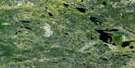
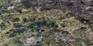
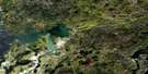
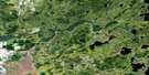
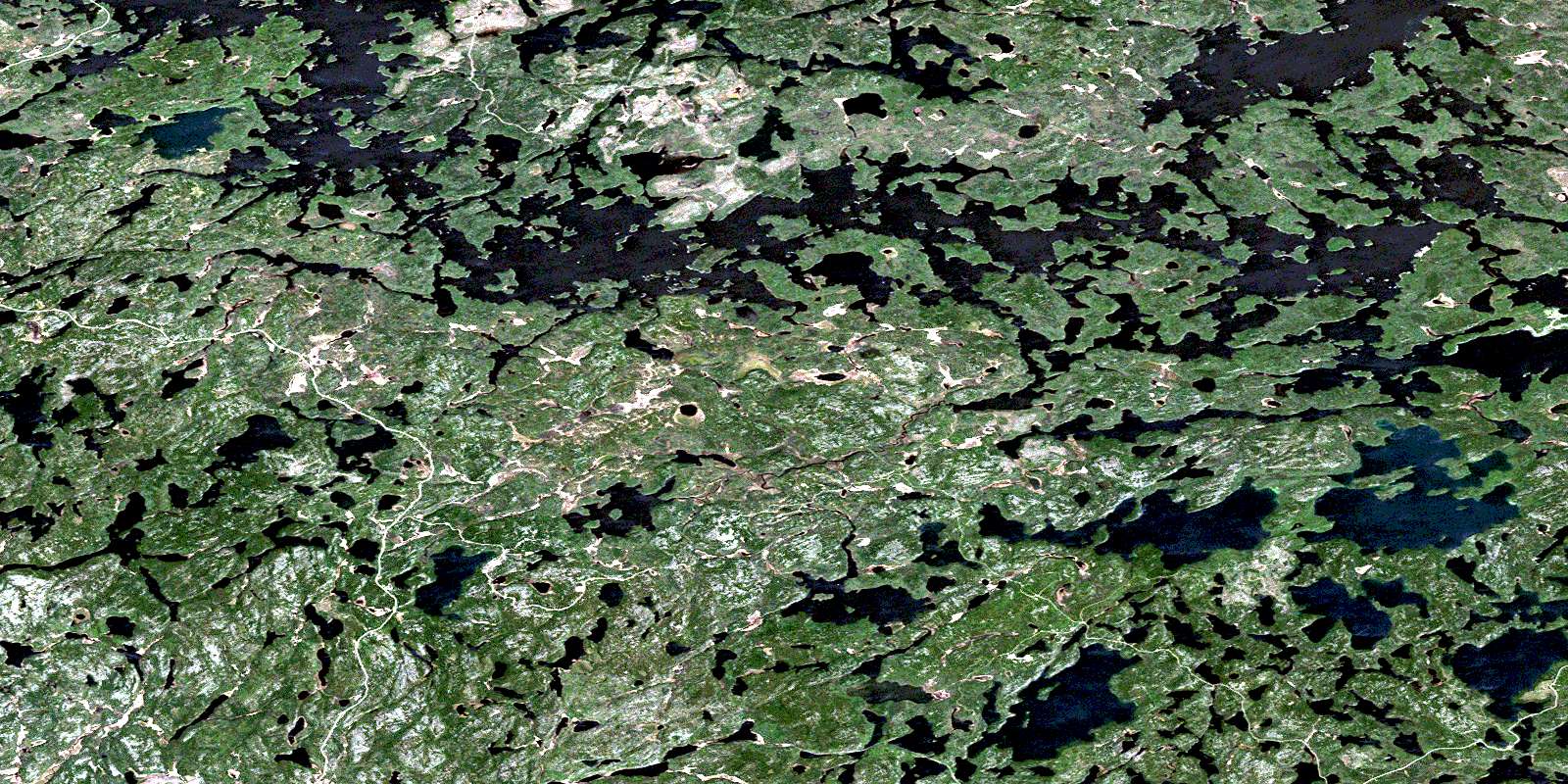
Lount Lake Satellite Image Map
Download Free Aerial Photo 052L01 at 1:50,000 scale
Lount Lake Satellite Imagery
To view this satellite map, mouse over the air photo on the right.
You can also download this satellite image map for free:
052L01 Lount Lake high-resolution satellite image map.
Maps for the Lount Lake aerial map sheet 052L01 at 1:50,000 scale are also available in these versions:
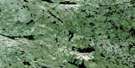
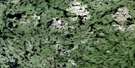
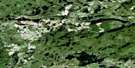
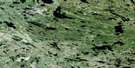
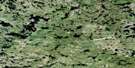
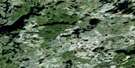
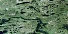
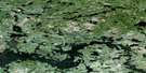
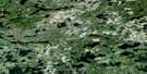
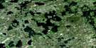
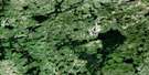
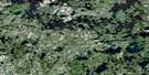
Lount Lake Surrounding Area Aerial Photo Maps
 |
 |
 |
 |
 |
 |
 |
 |
 |
 |
 |
 |
 |
 |
 |
 |
© Department of Natural Resources Canada. All rights reserved.
Lount Lake Gazetteer
The following places can be found on satellite image map 052L01 Lount Lake:
Lount Lake Satellite Image: Bays
Fiord BayLount Lake Satellite Image: Indian Reserves
English River 21English River Indian Reserve 21
Réserve indienne English River 21
Lount Lake Satellite Image: Islands
Big IslandLount Lake Satellite Image: Lakes
Albert LakeBays Lake
Bert Lake
Big Fox Lake
Bluff Lake
Botanist Lake
Brinka Lake
Brown Bear Lake
Caboose Lake
Cache Lake
Delaney Lake
Direct Lake
Dog Lake
Don Lake
Farlane Lake
Favel Lake
Forgotten Lake
Grassy Narrows Lake
Hall Lake
Havik Lake
Hike Lake
Indian Lake
Jim Lake
Jim Lake
Joe Lake
Keys Lake
Kid Lake
Lila Lake
Little Fox Lake
Lount Lake
Mermaid Lake
Minnesabik Lake
Musky Narrows Lake
Namego Lake
North Wreck Lake
Northwest Lake
Octopus Lake
Old Man Lake
Pic Lake
Pine Lake
Red Deer Lake
Rocky Lake
Scenic Lake
Seal Lake
Separation Lake
Shoe Lake
Spar Lake
Stop Lake
Tom Lake
Toothpick Lake
Walleye Lake
William Lake
Wonderland Lake
Wreck Lake
Lount Lake Satellite Image: Conservation areas
Octopus Creek Conservation ReserveScenic Lake Conservation Reserve
Lount Lake Satellite Image: Rivers
Cache CreekEnglish River
Forgotten Creek
Havik Creek
Keys Creek
Muskeg River
Octopus Creek
Wonderland Creek
Lount Lake Satellite Image: Road features
Norway PortageSandy Fly Portage
Lount Lake Satellite Image: Unincorporated areas
BrinkaFarlane
Grassy Narrows
© Department of Natural Resources Canada. All rights reserved.
052L Related Maps:
052L Pointe Du Bois052L01 Lount Lake
052L02 Whitedog Lake
052L03 Crowduck Lake
052L04 Pinawa
052L05 Pointe Du Bois
052L06 Ryerson Lake
052L07 Umfreville Lake
052L08 Lennan Lake
052L09 Sydney Lake
052L10 Dowswell Lake
052L11 Flintstone Lake
052L12 Maskwa Lake
052L13 Manigotagan Lake
052L14 Garner Lake
052L15 Rostoul Lake
052L16 Medicine Stone Lake
