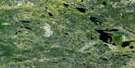
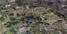
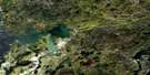
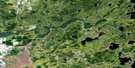
Lennan Lake Satellite Image Map
Download Free Aerial Photo 052L08 at 1:50,000 scale
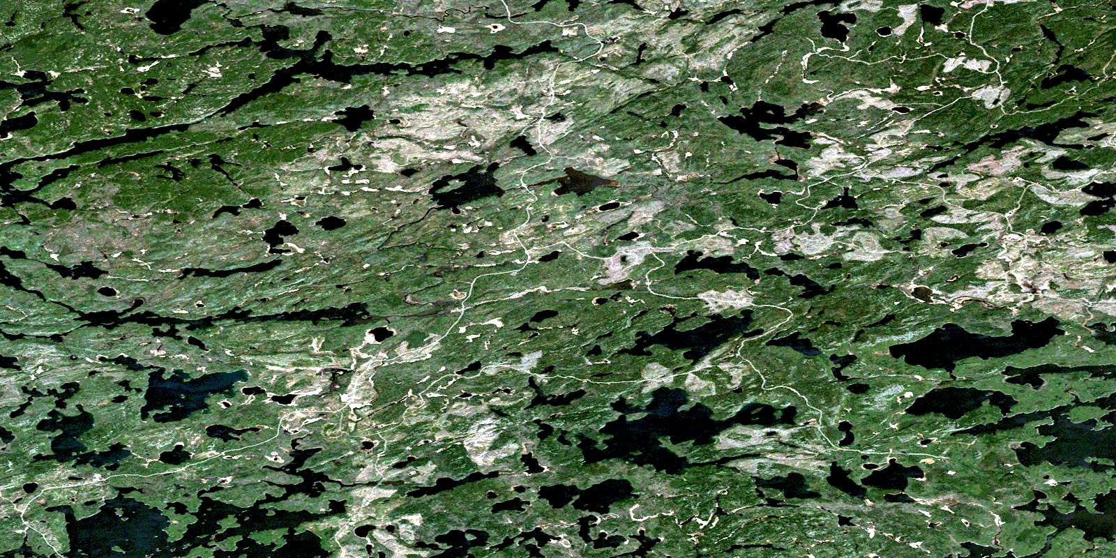
Lennan Lake Satellite Imagery
To view this satellite map, mouse over the air photo on the right.
You can also download this satellite image map for free:
052L08 Lennan Lake high-resolution satellite image map.
Maps for the Lennan Lake aerial map sheet 052L08 at 1:50,000 scale are also available in these versions:
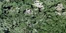
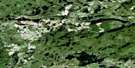
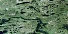
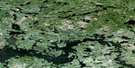
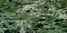
Lennan Lake Surrounding Area Aerial Photo Maps
 |
 |
 |
 |
 |
 |
 |
 |
 |
 |
 |
 |
 |
 |
 |
 |
© Department of Natural Resources Canada. All rights reserved.
Lennan Lake Gazetteer
The following places can be found on satellite image map 052L08 Lennan Lake:
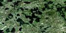
Lennan Lake Satellite Image: Lakes
Ball LakeBeauty Lake
Brown Bear Lake
Campfire Lake
Dumpy Lake
Fletcher Lake
Helder Lake
Indian Lake
Lennan Lake
Paintpot Lake
Right Lake
Roger Lake
Salvesen Lake
Scenic Lake
Scotty Lake
Separation Lake
Solitary Lake
Tide Lake
Treelined Lake
Wrong Lake
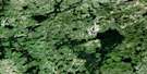
Lennan Lake Satellite Image: Conservation areas
Campfire River Conservation ReserveScotty Lake Conservation Reserve
Lennan Lake Satellite Image: Rapids
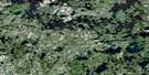
Separation RapidsLennan Lake Satellite Image: Rivers
Campfire RiverConfusion River
Dumpy Creek
Helder Creek
Lennan Creek
Sturgeon River
Treelined Creek
© Department of Natural Resources Canada. All rights reserved.
052L Related Maps:
052L Pointe Du Bois052L01 Lount Lake
052L02 Whitedog Lake
052L03 Crowduck Lake
052L04 Pinawa
052L05 Pointe Du Bois
052L06 Ryerson Lake
052L07 Umfreville Lake
052L08 Lennan Lake
052L09 Sydney Lake
052L10 Dowswell Lake
052L11 Flintstone Lake
052L12 Maskwa Lake
052L13 Manigotagan Lake
052L14 Garner Lake
052L15 Rostoul Lake
052L16 Medicine Stone Lake
