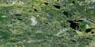
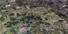
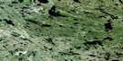
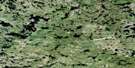
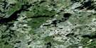
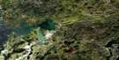
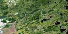
Pointe Du Bois Satellite Image Map
Download Free Aerial Photo 052L05 at 1:50,000 scale
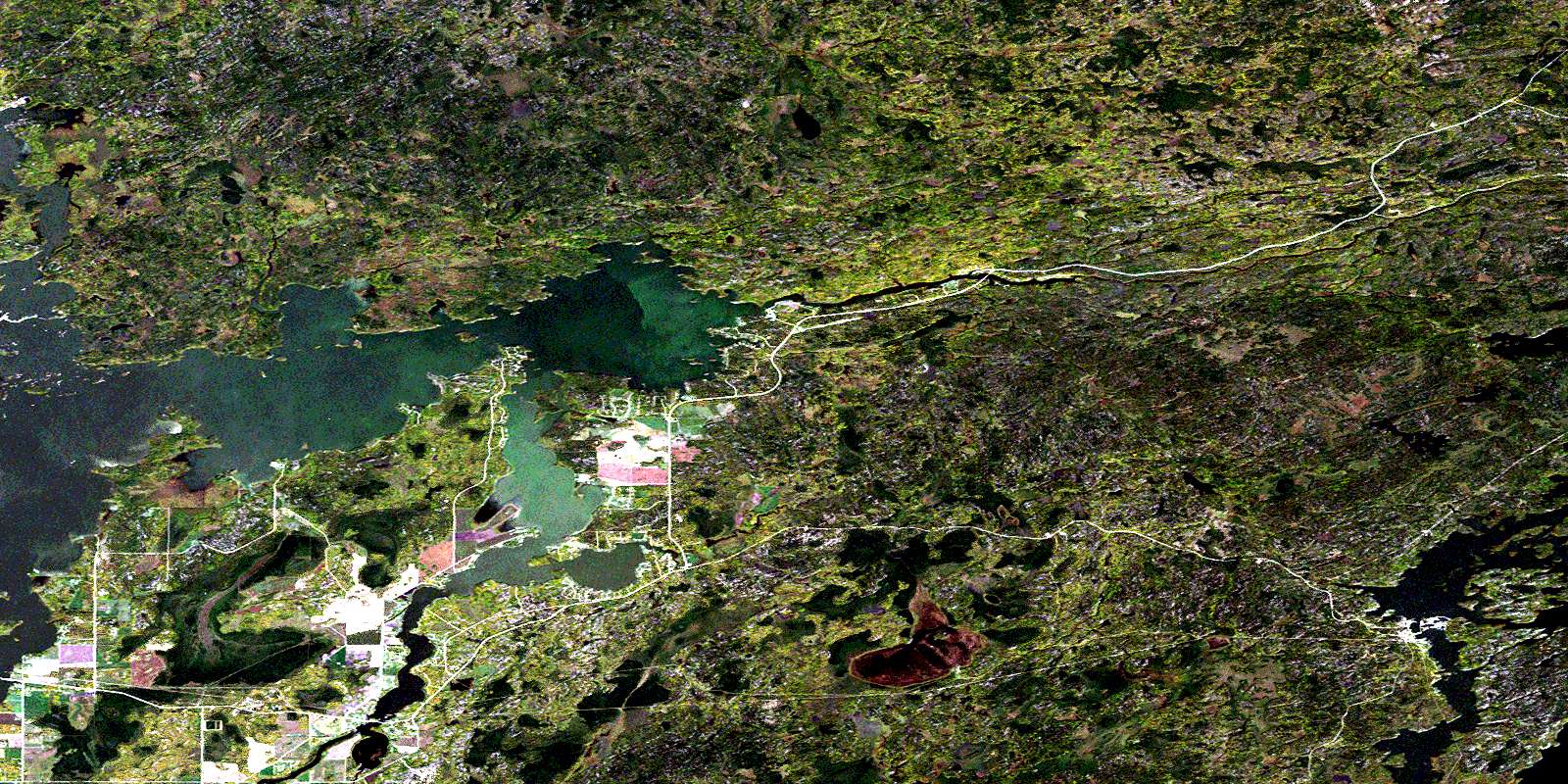
Pointe Du Bois Satellite Imagery
To view this satellite map, mouse over the air photo on the right.
You can also download this satellite image map for free:
052L05 Pointe Du Bois high-resolution satellite image map.
Maps for the Pointe Du Bois aerial map sheet 052L05 at 1:50,000 scale are also available in these versions:
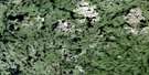
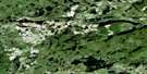
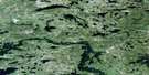
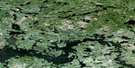
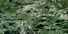
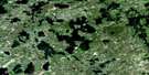
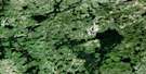
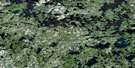
Pointe Du Bois Surrounding Area Aerial Photo Maps
 |
 |
 |
 |
 |
 |
 |
 |
 |
 |
 |
 |
 |
 |
 |
 |
© Department of Natural Resources Canada. All rights reserved.
Pointe Du Bois Gazetteer
The following places can be found on satellite image map 052L05 Pointe Du Bois:
Pointe Du Bois Satellite Image: Bays
Blind BayCases Bay
Coppermine Bay
Hay Bay
Keskinen Bay
Lettonia Bay
Mayos Bay
Pedruchny Bay
Pinawa Bay
Poplar Bay
Sandpit Bay
Sawmill Bay
Pointe Du Bois Satellite Image: Capes
Grausdin PointGronsdin Point
Harding Point
Lapins Point
Stevenson Point
Pointe Du Bois Satellite Image: Channels
North Shore ChannelPinawa Channel
Pointe Du Bois Satellite Image: Falls
Coca Cola FallsMcArthur Falls
Pointe Du Bois Satellite Image: Hydraulic construction
McArthur Generating StationPointe du Bois Generating Station
Pointe Du Bois Satellite Image: Islands
Foures IslandFournier Island
Mattson Island
Nazarko Island
Wendigo Island
Pointe Du Bois Satellite Image: Lakes
Anson LakeAugie Lake
Barske Lake
George Lake
Gillespie Lake
Keys Lake
Lac du Bois
Lac du Bonnet
Lost Fry Lake
Pinawa Lake
Rice Lake
Sarap Lake
Sarapu Lake
Shatford Lake
Shelson Lake
Pointe Du Bois Satellite Image: Conservation areas
Lee River Provincial Recreation ParkNopiming Provincial Park
Poplar Bay Provincial Park
Poplar Bay Provincial Recreation Park
Whiteshell Provincial Forest
Whiteshell Provincial Park
Pointe Du Bois Satellite Image: Rivers
Bear CreekBird River
Boggy Creek
Coppermine Creek
Kulikowski Channel
Lee River
North Coca Cola Creek
Oiseau River
Peterson Creek
Rice Creek
Rivière Winnipeg
Shatford Creek
South Shore Channel
Sweet Creek
Sweet Creek
Sweet Creek
Winnipeg River
Pointe Du Bois Satellite Image: Shoals
Willow ReefPointe Du Bois Satellite Image: Unincorporated areas
Bird RiverEight Foot Falls
Lee River
Lee River Falls
Lettonia
McArthur Falls
Pinawa Bay
Pointe du Bois
Poplar Bay
Riverland
Sunset Bay
Wendigo Beach
© Department of Natural Resources Canada. All rights reserved.
052L Related Maps:
052L Pointe Du Bois052L01 Lount Lake
052L02 Whitedog Lake
052L03 Crowduck Lake
052L04 Pinawa
052L05 Pointe Du Bois
052L06 Ryerson Lake
052L07 Umfreville Lake
052L08 Lennan Lake
052L09 Sydney Lake
052L10 Dowswell Lake
052L11 Flintstone Lake
052L12 Maskwa Lake
052L13 Manigotagan Lake
052L14 Garner Lake
052L15 Rostoul Lake
052L16 Medicine Stone Lake
