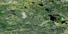
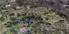
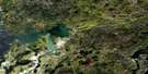
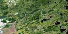
Garner Lake Satellite Image Map
Download Free Aerial Photo 052L14 at 1:50,000 scale
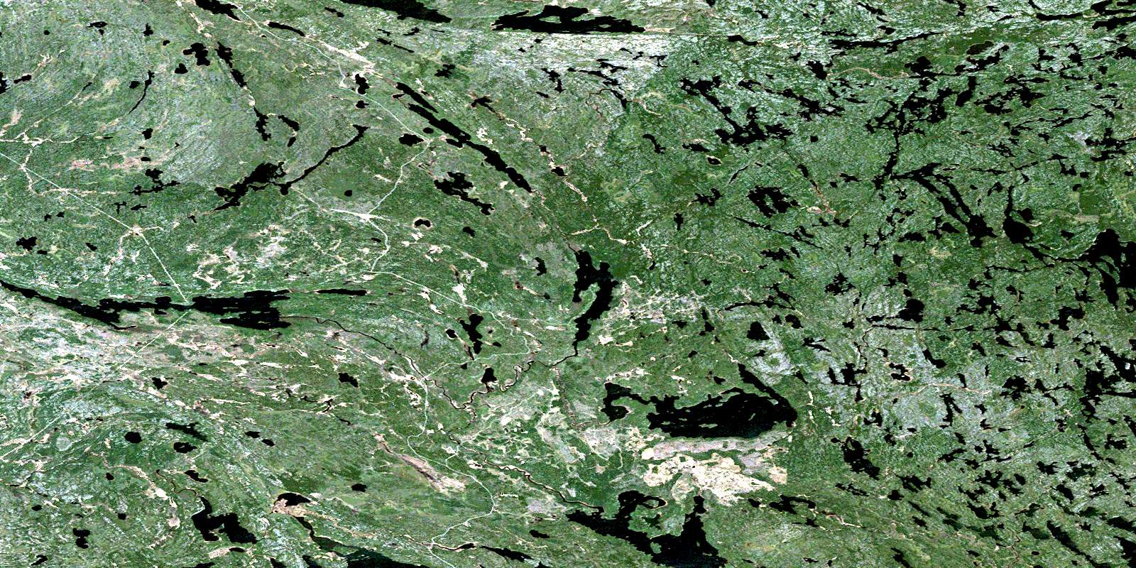
Garner Lake Satellite Imagery
To view this satellite map, mouse over the air photo on the right.
You can also download this satellite image map for free:
052L14 Garner Lake high-resolution satellite image map.
Maps for the Garner Lake aerial map sheet 052L14 at 1:50,000 scale are also available in these versions:
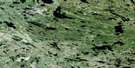
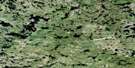
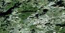
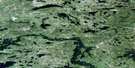
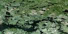
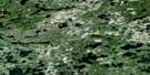
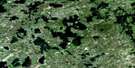
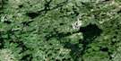
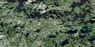
Garner Lake Surrounding Area Aerial Photo Maps
 |
 |
 |
 |
 |
 |
 |
 |
 |
 |
 |
 |
 |
 |
 |
 |
© Department of Natural Resources Canada. All rights reserved.
Garner Lake Gazetteer
The following places can be found on satellite image map 052L14 Garner Lake:
Garner Lake Satellite Image: Bays
Grassy Rice BayGarner Lake Satellite Image: Channels
The NarrowsGarner Lake Satellite Image: Lakes
Bennett LakeBeresford Lake
Bidou Lake
Buffalo Lakes
Cliff Lake
Crystal Lake
Day Lake
Dove Lake
East Winchester Lake
Edmunds Lake
Faraway Lake
Finger Lake
Garner Lake
Garner Lake
Gem Lake
Grassy Rice Lake
Haggart Lake
Halfway Lake
Hamiltons Lake
Hollinsworth Lake
Holmstrom Lake
Holmstrom Lake
Johnnie Lake
Lavallee Lake
Linwood Lake
Lonely Lake
Long Lake
Mabel Lake
Maberly Lake
Mather Lake
McLeod Lake
Moore Lake
Moose Lake
Overhang Lake
Palomar Lake
Partridge Lake
Port Lake
Quartz Lake
Roybrown Lake
Roybrown Lake
Shelley Lake
Shesheep Lake
Siderock Lake
Stormy Lake
Stovel Lake
Teichrib Lake
Tinney Lake
Tooth Lake
Trident Lake
Turkey Lake
Twin Lakes
Wallace Lake
Wentworth Lake
West Winchester Lake
Garner Lake Satellite Image: Conservation areas
Atikaki Provincial Wilderness ParkNopiming Provincial Park
South Atikaki Park Reserve
Woodland Caribou Provincial Park
Garner Lake Satellite Image: Provinces
ManitobaGarner Lake Satellite Image: Rivers
Beresford CreekBidou Creek
Bulldog Creek
Garner Creek
Garner River
Garner River
Garner River
Haggart River
Irregular River
Johnnie Creek
Manigotagan River
Moore Creek
Moore Creek
Moose River
Ross River
Tinney Creek
Trident Creek
Wanipigow River
Wanipigow River
Garner Lake Satellite Image: Road features
Conley TrailGarner Lake Satellite Image: Unincorporated areas
Beresford LakeLong Lake
Wadhope
Wallace Lake
© Department of Natural Resources Canada. All rights reserved.
052L Related Maps:
052L Pointe Du Bois052L01 Lount Lake
052L02 Whitedog Lake
052L03 Crowduck Lake
052L04 Pinawa
052L05 Pointe Du Bois
052L06 Ryerson Lake
052L07 Umfreville Lake
052L08 Lennan Lake
052L09 Sydney Lake
052L10 Dowswell Lake
052L11 Flintstone Lake
052L12 Maskwa Lake
052L13 Manigotagan Lake
052L14 Garner Lake
052L15 Rostoul Lake
052L16 Medicine Stone Lake
