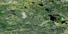
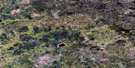
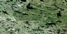
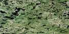
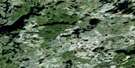
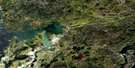
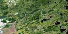
Medicine Stone Lake Satellite Image Map
Download Free Aerial Photo 052L16 at 1:50,000 scale
Medicine Stone Lake Satellite Imagery
To view this satellite map, mouse over the air photo on the right.
You can also download this satellite image map for free:
052L16 Medicine Stone Lake high-resolution satellite image map.
Maps for the Medicine Stone Lake aerial map sheet 052L16 at 1:50,000 scale are also available in these versions:
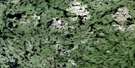
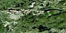
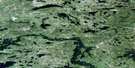
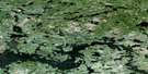
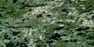
Medicine Stone Lake Surrounding Area Aerial Photo Maps
 |
 |
 |
 |
 |
 |
 |
 |
 |
 |
 |
 |
 |
 |
 |
 |
© Department of Natural Resources Canada. All rights reserved.
Medicine Stone Lake Gazetteer
The following places can be found on satellite image map 052L16 Medicine Stone Lake:
Medicine Stone Lake Satellite Image: Bays
Muskrat BayMedicine Stone Lake Satellite Image: Geographical areas
BairdKillala
Mulcahy
Medicine Stone Lake Satellite Image: Lakes
Anchor LakeBunny Lake
Call Lake
Dedee Lake
Detour Lake
Douglas Lake
Ducharme Lake
Embryo Lake
Hatchet Lake
Iriam Lake
Johnson Lake
Laird Lake
Leano Lake
Lee Lake
Leitch Lake
Longlegged Lake
Long-legged Lake
Medicine Stone Lake
Medicine-stone Lake
Onnie Lake
Parker Lake
Rainfall Lake
Red Lake
Suffel Lake
Tack Lake
Telescope Lake
Thrasher Lake
Underbrush Lake
Upper Hatchet Lake
Upper Medicine Stone Lake
Upper Medicine-stone Lake
Medicine Stone Lake Satellite Image: Other municipal/district area - miscellaneous
BalmertownGolden
Medicine Stone Lake Satellite Image: Conservation areas
Woodland Caribou Provincial ParkMedicine Stone Lake Satellite Image: Rivers
Dedee CreekDouglas Creek
Iriam Creek
Leano Creek
Medicine Stone River
Medicine-stone River
Rainfall Creek
Rostoul River
Suffel Creek
Thrasher Creek
Medicine Stone Lake Satellite Image: Towns
Red Lake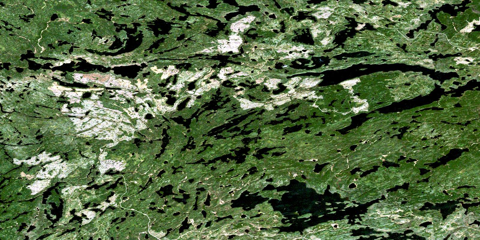
© Department of Natural Resources Canada. All rights reserved.
052L Related Maps:
052L Pointe Du Bois052L01 Lount Lake
052L02 Whitedog Lake
052L03 Crowduck Lake
052L04 Pinawa
052L05 Pointe Du Bois
052L06 Ryerson Lake
052L07 Umfreville Lake
052L08 Lennan Lake
052L09 Sydney Lake
052L10 Dowswell Lake
052L11 Flintstone Lake
052L12 Maskwa Lake
052L13 Manigotagan Lake
052L14 Garner Lake
052L15 Rostoul Lake
052L16 Medicine Stone Lake
