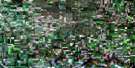
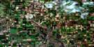
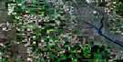
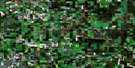
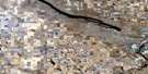
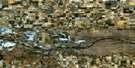
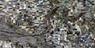
Hitchcock Satellite Image Map
Download Free Aerial Photo 062E03 at 1:50,000 scale
Hitchcock Satellite Imagery
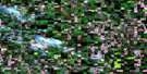
To view this satellite map, mouse over the air photo on the right.
You can also download this satellite image map for free:
062E03 Hitchcock high-resolution satellite image map.
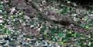
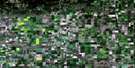
Maps for the Hitchcock aerial map sheet 062E03 at 1:50,000 scale are also available in these versions:
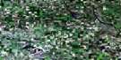
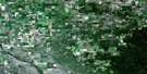
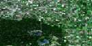
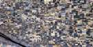
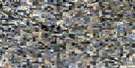
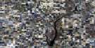
Hitchcock Surrounding Area Aerial Photo Maps
 |
 |
 |
 |
 |
 |
 |
 |
 |
 |
 |
 |
 |
 |
 |
 |
© Department of Natural Resources Canada. All rights reserved.
Hitchcock Gazetteer
The following places can be found on satellite image map 062E03 Hitchcock:
Hitchcock Satellite Image: Capes
Brown PointHitchcock Satellite Image: City
EstevanHitchcock Satellite Image: Cliffs
The Missouri CoteauHitchcock Satellite Image: Lakes
Boundary Dam ReservoirMcDonald Lake
Hitchcock Satellite Image: Other municipal/district area - miscellaneous
Cambria No. 6Estevan No. 5
Hitchcock Satellite Image: Conservation areas
Boundary Dam Reservoir Recreation SiteEstevan-Cambria Wildlife Management Unit
Hitchcock Satellite Image: Rivers
Long CreekSouris River
Hitchcock Satellite Image: Unincorporated areas
Estevan AirportHalkett
Hitchcock
Marienthal
Nygren
Outram
Outram Station
Rafferty
Tableland
Hitchcock Satellite Image: Villages
Torquay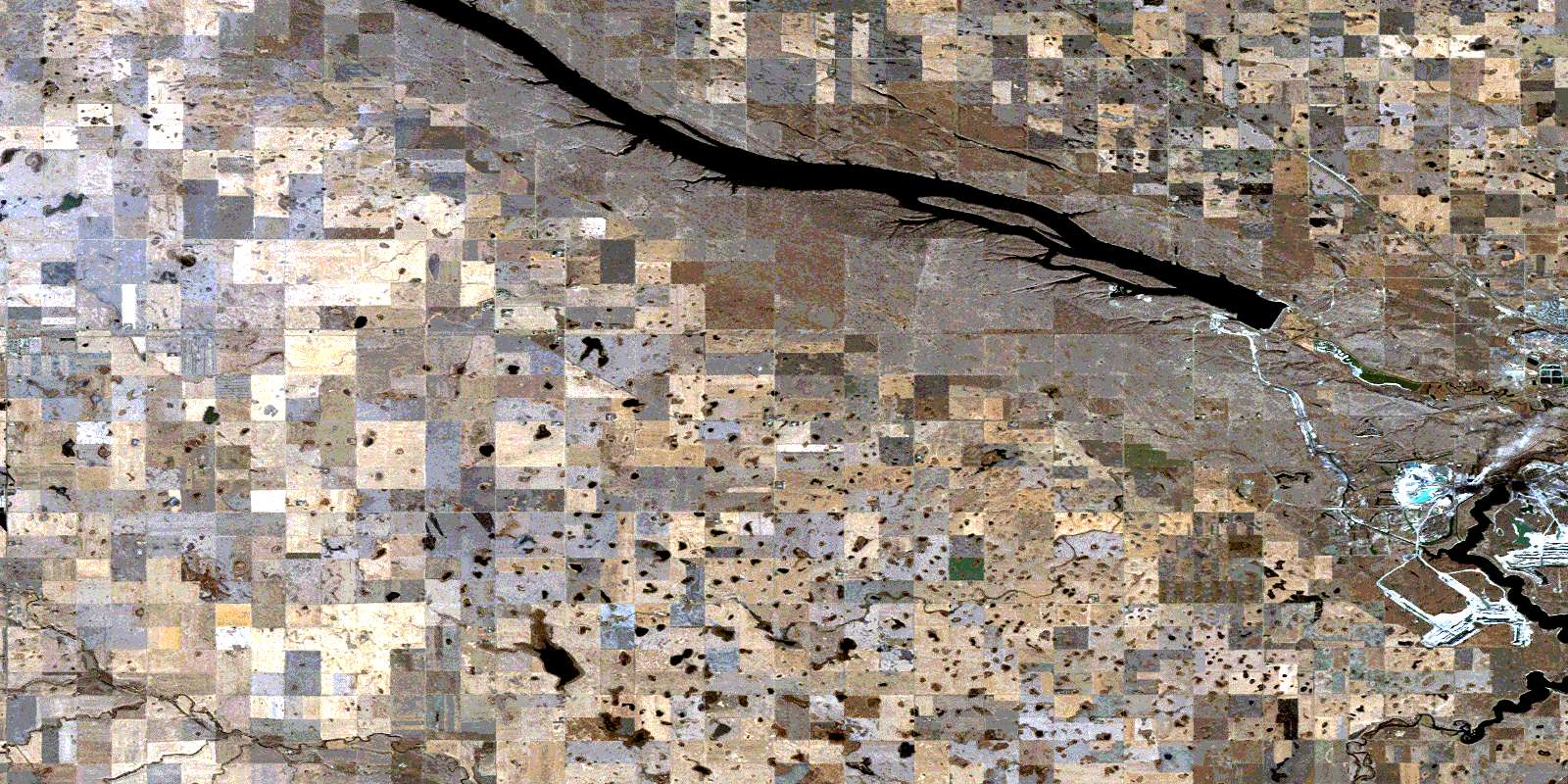
© Department of Natural Resources Canada. All rights reserved.
