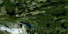
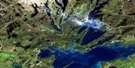
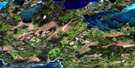
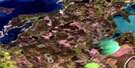
Yawningstone Lake Satellite Image Map
Download Free Aerial Photo 063K07 at 1:50,000 scale
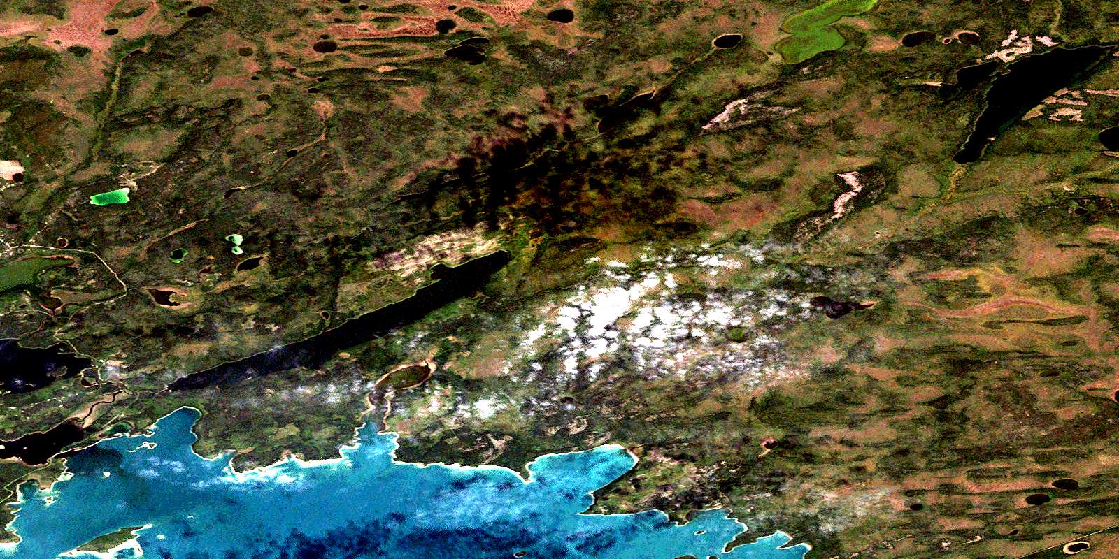
Yawningstone Lake Satellite Imagery
To view this satellite map, mouse over the air photo on the right.
You can also download this satellite image map for free:
063K07 Yawningstone Lake high-resolution satellite image map.
Maps for the Yawningstone Lake aerial map sheet 063K07 at 1:50,000 scale are also available in these versions:
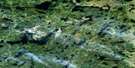
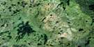
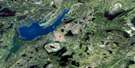
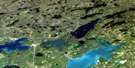
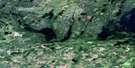
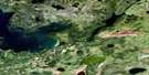
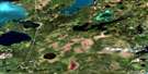
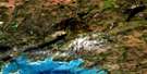
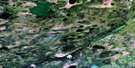
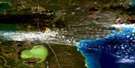
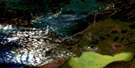
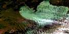
Yawningstone Lake Surrounding Area Aerial Photo Maps
 |
 |
 |
 |
 |
 |
 |
 |
 |
 |
 |
 |
 |
 |
 |
 |
© Department of Natural Resources Canada. All rights reserved.
Yawningstone Lake Gazetteer
The following places can be found on satellite image map 063K07 Yawningstone Lake:
Yawningstone Lake Satellite Image: Bays
Bathtub BayCowan Bay
Hearts Bay
Mocassin Bay
Six Mile Bay
Turners Bay
Willow Bay
Yawningstone Lake Satellite Image: Capes
Fox PointMocassin Point
Six Mile Point
Yawningstone Lake Satellite Image: Channels
First Island NarrowsYawningstone Lake Satellite Image: Islands
Fill IslandFirst Island
Four Mile Island
Frenchmans Island
Yawningstone Lake Satellite Image: Lakes
Cooper LakeCormorant Lake
Dolomite Lake
Four Mile Lake
Halfway Lake
Hone Lake
Mitchell Lake
Mitchell Lakes
Mitchell Lakes
Ochunipe Lake
Pewekuhikuniskaw Lake
Rat House Lake
Turners Lake
Yawningstone Lake
Yawningstone Lake Satellite Image: Rivers
Cowan RiverFenner Creek
Horse Creek
Yawningstone Lake Satellite Image: Unincorporated areas
CormorantDering
© Department of Natural Resources Canada. All rights reserved.
063K Related Maps:
063K Cormorant Lake063K01 Burntwood Bay
063K02 Cormorant
063K03 Root Lake
063K04 Namew Lake
063K05 Goose Lake
063K06 Egg Lake
063K07 Yawningstone Lake
063K08 Dyce Lake
063K09 Tramping Lake
063K10 Iskwasum Lake
063K11 Cranberry Portage
063K12 Schist Lake
063K13 Flin Flon
063K14 Naosap Lake
063K15 Elbow Lake
063K16 File Lake
