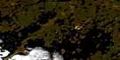
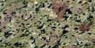
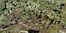
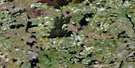
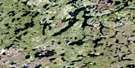
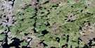
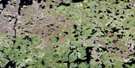
Goldsand Lake Satellite Image Map
Download Free Aerial Photo 064F03 at 1:50,000 scale
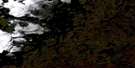
Goldsand Lake Satellite Imagery
To view this satellite map, mouse over the air photo on the right.
You can also download this satellite image map for free:
064F03 Goldsand Lake high-resolution satellite image map.
Maps for the Goldsand Lake aerial map sheet 064F03 at 1:50,000 scale are also available in these versions:
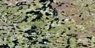
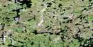
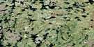
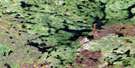
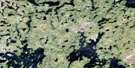
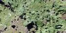
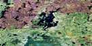
Goldsand Lake Surrounding Area Aerial Photo Maps
 |
 |
 |
 |
 |
 |
 |
 |
 |
 |
 |
 |
 |
 |
 |
 |
© Department of Natural Resources Canada. All rights reserved.
Goldsand Lake Gazetteer
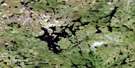
The following places can be found on satellite image map 064F03 Goldsand Lake:
Goldsand Lake Satellite Image: Bays
Clarke BayGraham Bay
Lewis Bay
Goldsand Lake Satellite Image: Capes
Gunn PointJohnston Point
Roller Peninsula
Goldsand Lake Satellite Image: Islands
Allan IslandArmstrong Island
Bailey Island
Buckfin Island
Davies Island
Stanley Island
Walker Island
Walley Island
Goldsand Lake Satellite Image: Lakes
Aitkens LakeAndersen Lake
Berzenski Lake
Bonner Lake
Boyle Lake
Falconer Lake
Goldsand Lake
Hammill Lake
Janzen Lake
McClintock Lake
Mooswa Lake
Morriss Lake
Nesbitt Lake
Preston Lake
Rea Lake
Roller Lake
Saunders Lake
Sherritt Lake
Sieffert Lake
Swinton Lake
Tapp Lake
Van Lake
Vandekerckhove Lake
Wells Lake
Goldsand Lake Satellite Image: Rapids
Johnson Rapids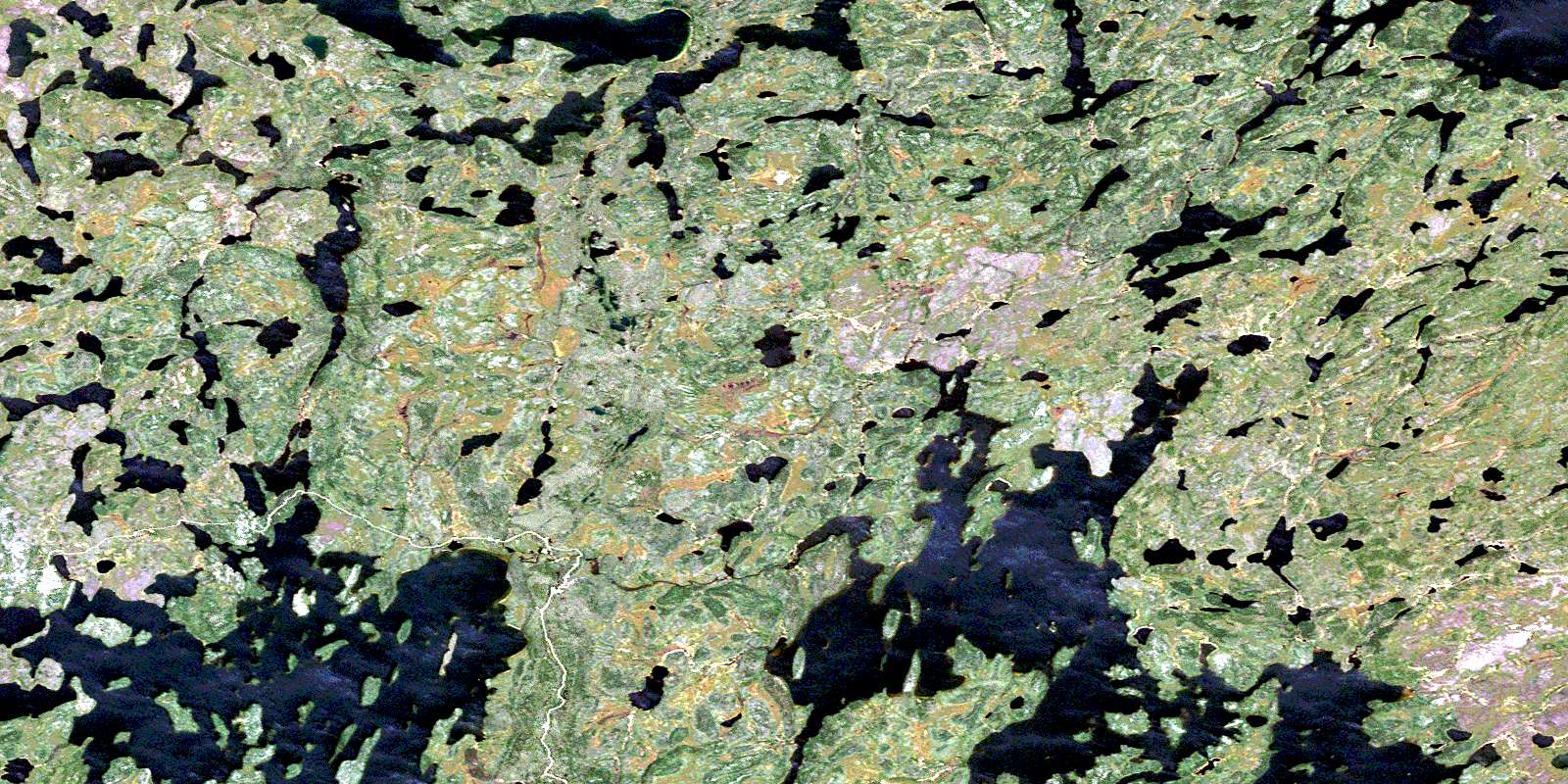
© Department of Natural Resources Canada. All rights reserved.
064F Related Maps:
064F Brochet064F01 Melvin Lake
064F02 Dunsheath Lake
064F03 Goldsand Lake
064F04 Carswell Lake
064F05 Carriere Lake
064F06 Carlson Lake
064F07 Brisebois Lake
064F08 Le Clair Lake
064F09 Jordan Lake
064F10 Eyrie Lake
064F11 Hjalmarson Lake
064F12 Sawbill
064F13 Brochet
064F14 Abram Lake
064F15 Attridge Lake
064F16 Kustra Lake
