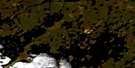
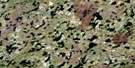
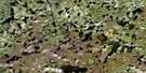
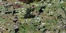
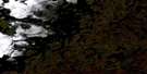
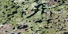
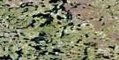
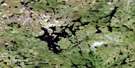
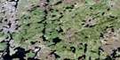
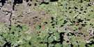
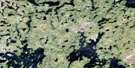
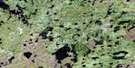
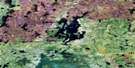
Brochet Satellite Image Map
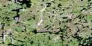
Download Free Aerial Photo 064F13 at 1:50,000 scale
Brochet Satellite Imagery
To view this satellite map, mouse over the air photo on the right.
You can also download this satellite image map for free:
064F13 Brochet high-resolution satellite image map.
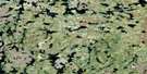
Maps for the Brochet aerial map sheet 064F13 at 1:50,000 scale are also available in these versions:
Brochet Surrounding Area Aerial Photo Maps
 |
 |
 |
 |
 |
 |
 |
 |
 |
 |
 |
 |
 |
 |
 |
 |
© Department of Natural Resources Canada. All rights reserved.
Brochet Gazetteer
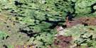
The following places can be found on satellite image map 064F13 Brochet:
Brochet Satellite Image: Bays
Brochet BayCuster Bay
Mistahe Bay
Weecheepuwanukatotheechik Bay
Wuskway Bay
Brochet Satellite Image: Capes
Kaneewakak PointLong Point
Wuchistoon Point
Brochet Satellite Image: Channels
Kapichiu NarrowsOskaskwa Narrows
Oskatukow Narrows
Pawistikow Narrows
Wepooskow Narrows
Brochet Satellite Image: Indian Reserves
Brochet 197Brochet Satellite Image: Islands
Ethiko IslandKakwa Island
Kowapowakasik Islands
Kwaskweepechikun Island
Mary Island
Neethowassine Island
Oskatukow Island
Brochet Satellite Image: Lakes
Kaministikoskak LakeKapichiu Lake
Muskeko Lake
Reindeer Lake
Brochet Satellite Image: Rivers
Cochrane RiverYellow Water River
Yellow-water River
Brochet Satellite Image: Road features
Thaykow PortageBrochet Satellite Image: Unincorporated areas
Brochet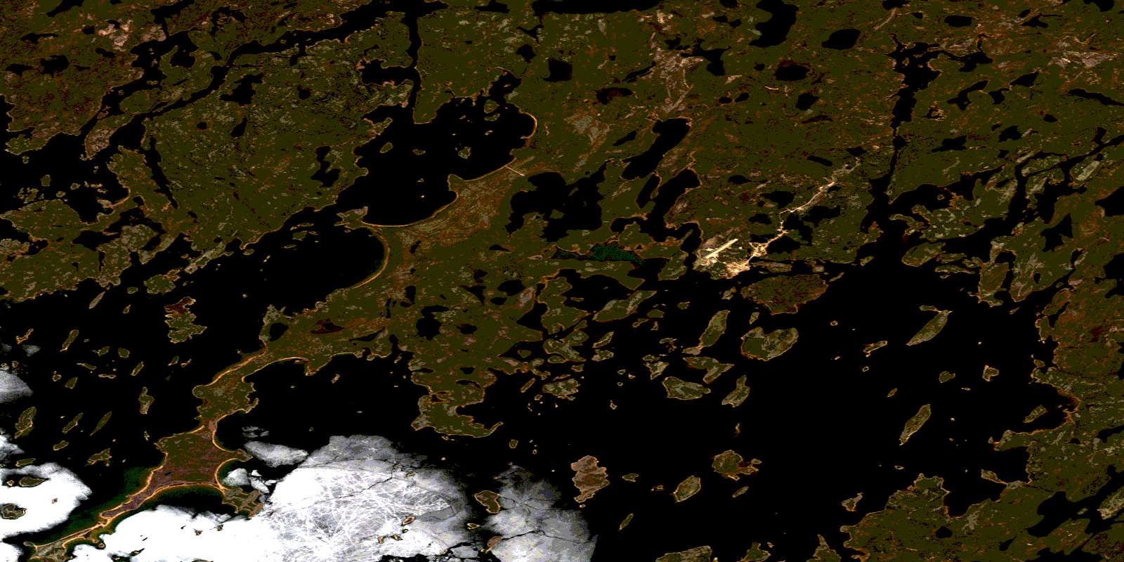
© Department of Natural Resources Canada. All rights reserved.
064F Related Maps:
064F Brochet064F01 Melvin Lake
064F02 Dunsheath Lake
064F03 Goldsand Lake
064F04 Carswell Lake
064F05 Carriere Lake
064F06 Carlson Lake
064F07 Brisebois Lake
064F08 Le Clair Lake
064F09 Jordan Lake
064F10 Eyrie Lake
064F11 Hjalmarson Lake
064F12 Sawbill
064F13 Brochet
064F14 Abram Lake
064F15 Attridge Lake
064F16 Kustra Lake
