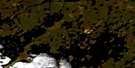
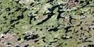
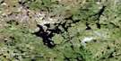
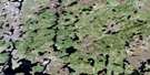
Carriere Lake Satellite Image Map
Download Free Aerial Photo 064F05 at 1:50,000 scale
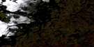
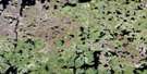
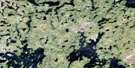
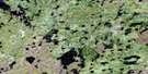
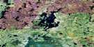
Carriere Lake Satellite Imagery
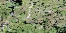
To view this satellite map, mouse over the air photo on the right.
You can also download this satellite image map for free:
064F05 Carriere Lake high-resolution satellite image map.
Maps for the Carriere Lake aerial map sheet 064F05 at 1:50,000 scale are also available in these versions:
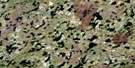
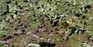
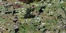
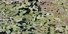
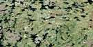
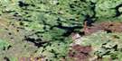
Carriere Lake Surrounding Area Aerial Photo Maps
 |
 |
 |
 |
 |
 |
 |
 |
 |
 |
 |
 |
 |
 |
 |
 |
© Department of Natural Resources Canada. All rights reserved.
Carriere Lake Gazetteer
The following places can be found on satellite image map 064F05 Carriere Lake:
Carriere Lake Satellite Image: Bays
Bear BayGallagher Bay
Paskwachi Bay
Carriere Lake Satellite Image: Islands
Chalmers IslandEaston Island
Kopp Island
Morrow Island
Thackeray Island
Carriere Lake Satellite Image: Lakes
Carriere LakeCarrière Lake
East Peden Lake
Gallagher Lake
James Gallagher Lake
Juntunen Lake
Marquardt Lake
Nisto Pawistikwa Lake
Paskwachi Lake
Reindeer Lake
Thickins Lake
Thomas Moore Lake
West Peden Lake
Carriere Lake Satellite Image: Rivers
Paskwachi RiverSawbill River

© Department of Natural Resources Canada. All rights reserved.
064F Related Maps:
064F Brochet064F01 Melvin Lake
064F02 Dunsheath Lake
064F03 Goldsand Lake
064F04 Carswell Lake
064F05 Carriere Lake
064F06 Carlson Lake
064F07 Brisebois Lake
064F08 Le Clair Lake
064F09 Jordan Lake
064F10 Eyrie Lake
064F11 Hjalmarson Lake
064F12 Sawbill
064F13 Brochet
064F14 Abram Lake
064F15 Attridge Lake
064F16 Kustra Lake
