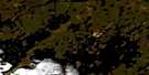
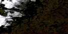
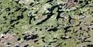
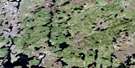
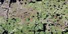
Abram Lake Satellite Image Map
Download Free Aerial Photo 064F14 at 1:50,000 scale
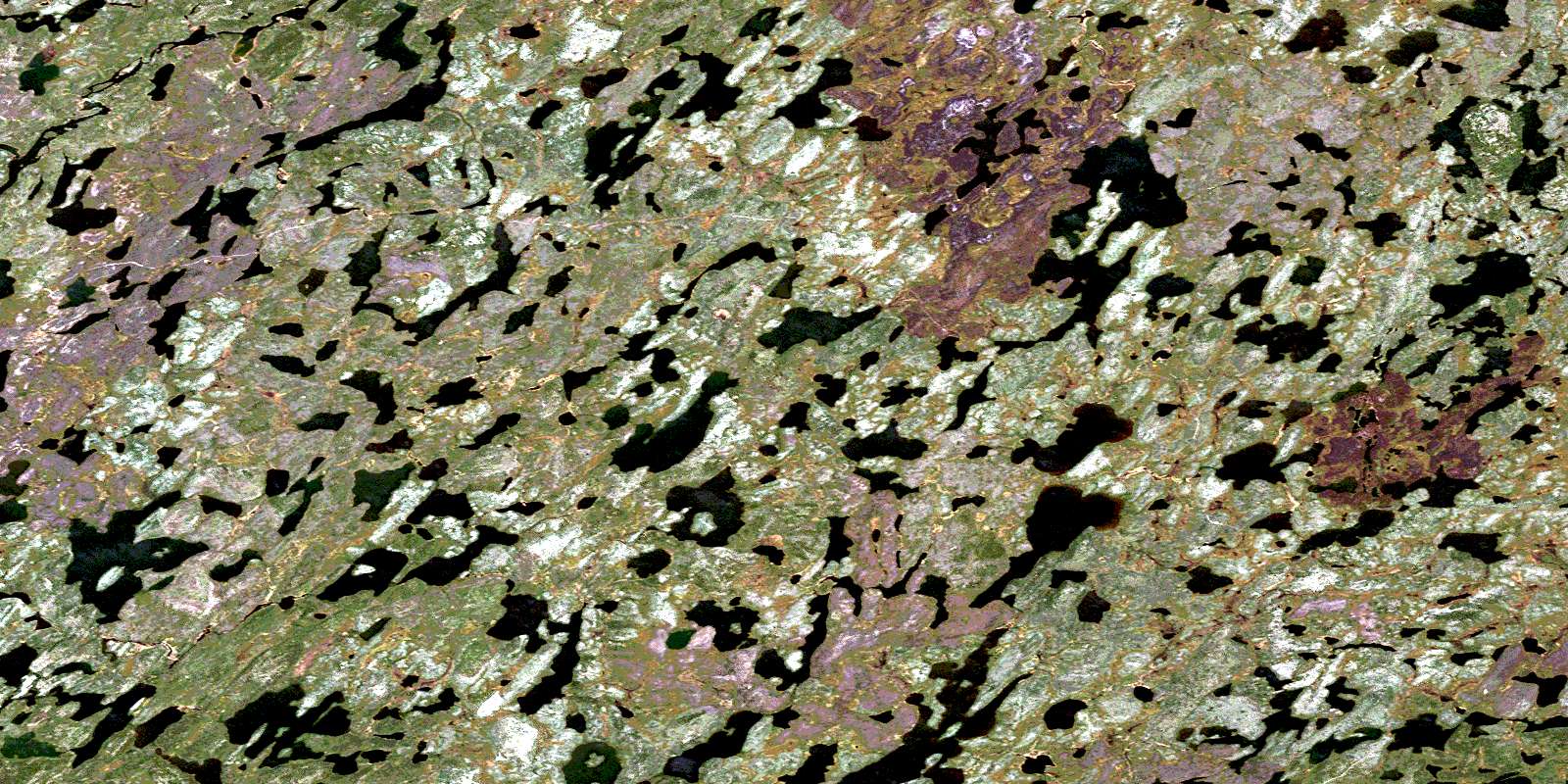
Abram Lake Satellite Imagery
To view this satellite map, mouse over the air photo on the right.
You can also download this satellite image map for free:
064F14 Abram Lake high-resolution satellite image map.
Maps for the Abram Lake aerial map sheet 064F14 at 1:50,000 scale are also available in these versions:
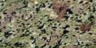
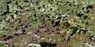
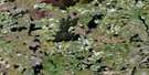
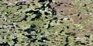
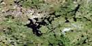
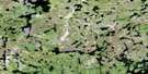
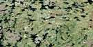
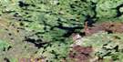
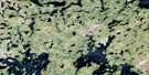
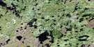
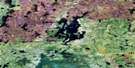
Abram Lake Surrounding Area Aerial Photo Maps
 |
 |
 |
 |
 |
 |
 |
 |
 |
 |
 |
 |
 |
 |
 |
 |
© Department of Natural Resources Canada. All rights reserved.
Abram Lake Gazetteer
The following places can be found on satellite image map 064F14 Abram Lake:
Abram Lake Satellite Image: Indian Reserves
Brochet 197Abram Lake Satellite Image: Lakes
Abram LakeKameestatnak Lake
Kawakeekamak Lake
Kawaweyayaw Lake
Kaweepooskak Lake
Mistahi Lake
Nogarth Lake
Okaw Lake
Seepi Lakes
Seepisis Lakes
Thomas Lake
Tiger Lake
Uyumihaywatik Lake
Wetikoo Lake
Abram Lake Satellite Image: Rapids
Kamechayt RapidsAbram Lake Satellite Image: Rivers
Cochrane RiverYellow Water River
Yellow-water River
Abram Lake Satellite Image: Road features
Kapechayk PortageWaputonisk Portage
© Department of Natural Resources Canada. All rights reserved.
064F Related Maps:
064F Brochet064F01 Melvin Lake
064F02 Dunsheath Lake
064F03 Goldsand Lake
064F04 Carswell Lake
064F05 Carriere Lake
064F06 Carlson Lake
064F07 Brisebois Lake
064F08 Le Clair Lake
064F09 Jordan Lake
064F10 Eyrie Lake
064F11 Hjalmarson Lake
064F12 Sawbill
064F13 Brochet
064F14 Abram Lake
064F15 Attridge Lake
064F16 Kustra Lake
