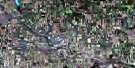
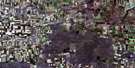
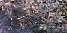
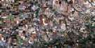
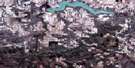
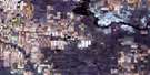
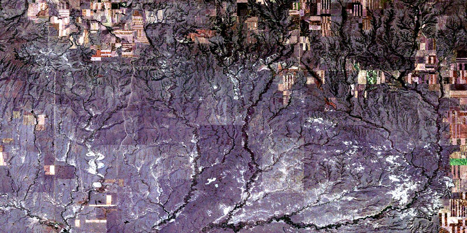
Horse Creek Satellite Image Map
Download Free Aerial Photo 072G02 at 1:50,000 scale
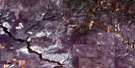
Horse Creek Satellite Imagery
To view this satellite map, mouse over the air photo on the right.
You can also download this satellite image map for free:
072G02 Horse Creek high-resolution satellite image map.
Maps for the Horse Creek aerial map sheet 072G02 at 1:50,000 scale are also available in these versions:
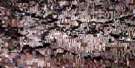
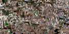
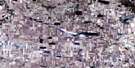
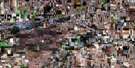
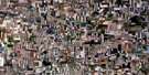
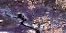
Horse Creek Surrounding Area Aerial Photo Maps
 |
 |
 |
 |
 |
 |
 |
 |
 |
 |
 |
 |
 |
 |
 |
 |
© Department of Natural Resources Canada. All rights reserved.
Horse Creek Gazetteer
The following places can be found on satellite image map 072G02 Horse Creek:
Horse Creek Satellite Image: Mountains
Wood MountainHorse Creek Satellite Image: Conservation areas
Grasslands National Park of CanadaParc national du Canada des Prairies
Horse Creek Satellite Image: Rivers
Boggy CreekBorder Creek
Butte Creek
Dunn Creek
Flaata Creek
Frontier Creek
Hellfire Creek
Horse Creek
LaBerge Creek
Lark Hill Creek
McCrea Creek
McEachern Creek
Morgan Creek
Morgan Creek
Porcupine Creek
Rausch Creek
Rock Creek
Rock Creek
Southview Creek
Spring Creek
Tetreau Creek
West Hellfire Creek
Wetherall Creek
Horse Creek Satellite Image: Unincorporated areas
Horse CreekSouthview
© Department of Natural Resources Canada. All rights reserved.
