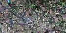
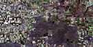
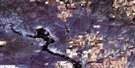
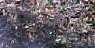
Mazenod Satellite Image Map
Download Free Aerial Photo 072G16 at 1:50,000 scale
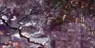
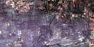
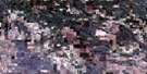
Mazenod Satellite Imagery
To view this satellite map, mouse over the air photo on the right.
You can also download this satellite image map for free:
072G16 Mazenod high-resolution satellite image map.
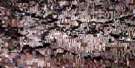
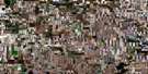
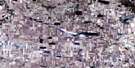
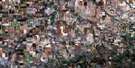
Maps for the Mazenod aerial map sheet 072G16 at 1:50,000 scale are also available in these versions:
Mazenod Surrounding Area Aerial Photo Maps
 |
 |
 |
 |
 |
 |
 |
 |
 |
 |
 |
 |
 |
 |
 |
 |
© Department of Natural Resources Canada. All rights reserved.
Mazenod Gazetteer
The following places can be found on satellite image map 072G16 Mazenod:
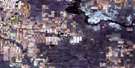
Mazenod Satellite Image: Cliffs
The Missouri CoteauMazenod Satellite Image: Hamlets
CongressMazenod
Palmer
Vantage
Mazenod Satellite Image: Other municipal/district area - miscellaneous
Gravelbourg No. 104Lake Johnston No. 102
Lake of The Rivers No. 72
Stonehenge No. 73
Sutton No. 103
Wood River No. 74
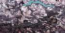
Mazenod Satellite Image: Rivers
Clarke CreekCripple Creek
Notukeu Creek
Wood River
Mazenod Satellite Image: Unincorporated areas
EttingtonWood River
Mazenod Satellite Image: Low vegetation
Clarke Marsh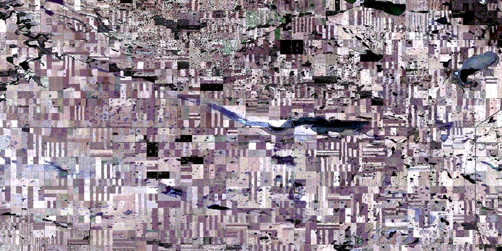
© Department of Natural Resources Canada. All rights reserved.
