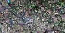
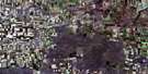
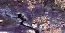
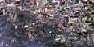
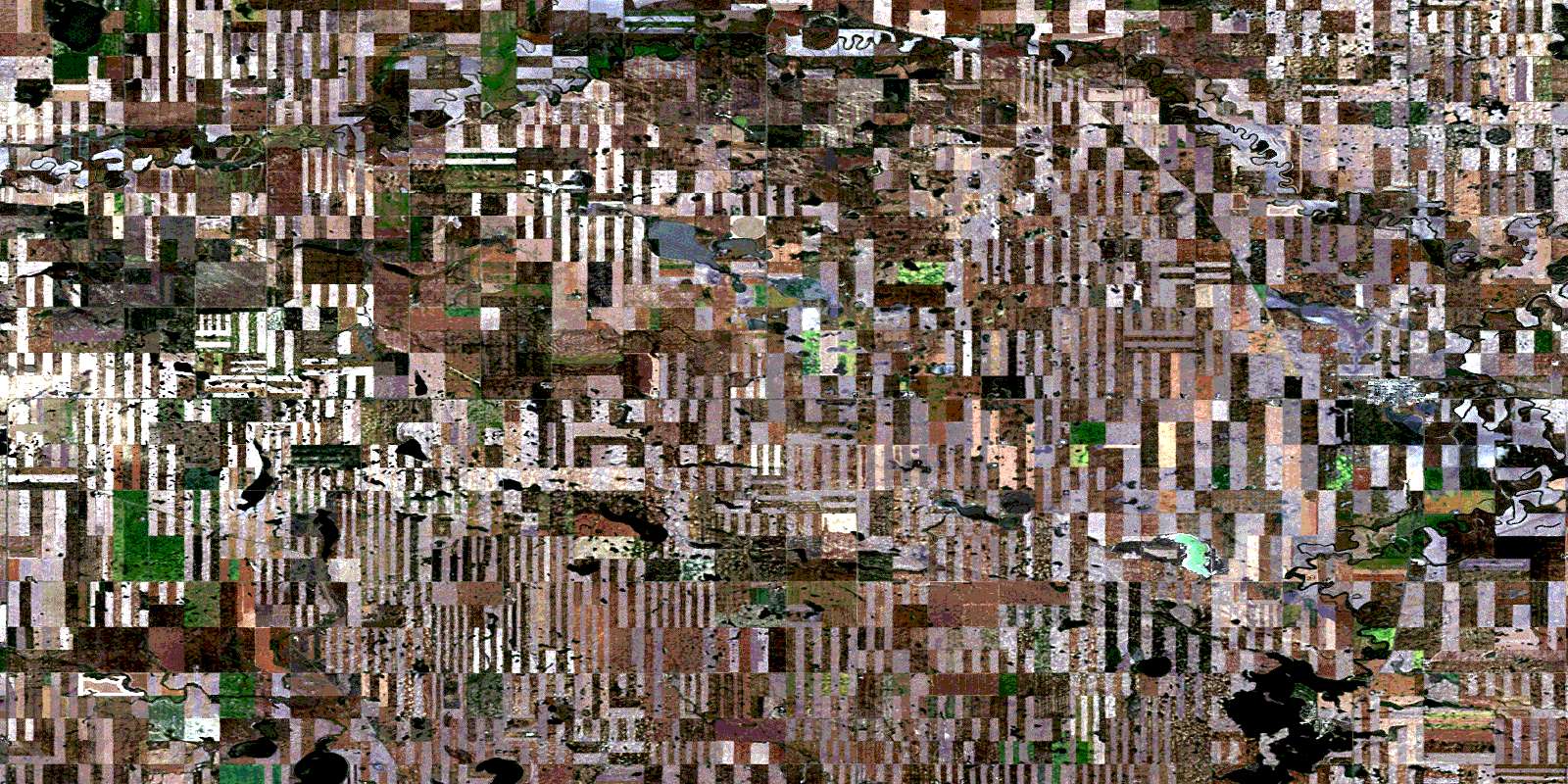
Gravelbourg Satellite Image Map
Download Free Aerial Photo 072G15 at 1:50,000 scale
Gravelbourg Satellite Imagery
To view this satellite map, mouse over the air photo on the right.
You can also download this satellite image map for free:
072G15 Gravelbourg high-resolution satellite image map.
Maps for the Gravelbourg aerial map sheet 072G15 at 1:50,000 scale are also available in these versions:
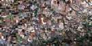
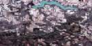
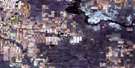
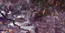
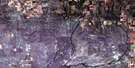
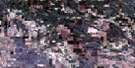
Gravelbourg Surrounding Area Aerial Photo Maps
 |
 |
 |
 |
 |
 |
 |
 |
 |
 |
 |
 |
 |
 |
 |
 |
© Department of Natural Resources Canada. All rights reserved.
Gravelbourg Gazetteer
The following places can be found on satellite image map 072G15 Gravelbourg:
Gravelbourg Satellite Image: Lakes
Thomson LakeGravelbourg Satellite Image: Other municipal/district area - miscellaneous
Glen Bain No. 105Gravelbourg No. 104
Pinto Creek No. 75
Wood River No. 74
Gravelbourg Satellite Image: Conservation areas
Thomson Lake Regional ParkTompson Lake Park
Gravelbourg Satellite Image: Rivers
Notukeu CreekWood River
Gravelbourg Satellite Image: Towns
GravelbourgGravelbourg Satellite Image: Unincorporated areas
ArbuthnotCoppen
Wood River
© Department of Natural Resources Canada. All rights reserved.
