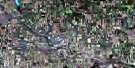
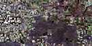
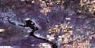
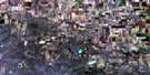
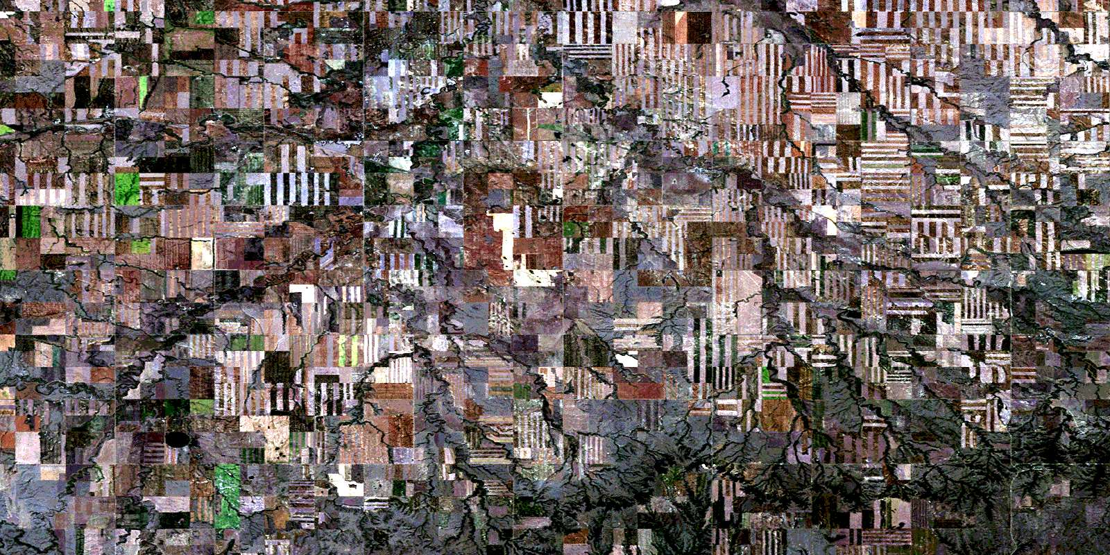
Mccord Satellite Image Map
Download Free Aerial Photo 072G07 at 1:50,000 scale
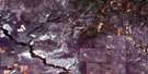
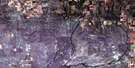
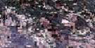
Mccord Satellite Imagery
To view this satellite map, mouse over the air photo on the right.
You can also download this satellite image map for free:
072G07 Mccord high-resolution satellite image map.
Maps for the Mccord aerial map sheet 072G07 at 1:50,000 scale are also available in these versions:
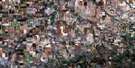
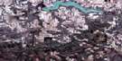
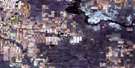
Mccord Surrounding Area Aerial Photo Maps
 |
 |
 |
 |
 |
 |
 |
 |
 |
 |
 |
 |
 |
 |
 |
 |
© Department of Natural Resources Canada. All rights reserved.
Mccord Gazetteer
The following places can be found on satellite image map 072G07 Mccord:
Mccord Satellite Image: Hamlets
McCordMccord Satellite Image: Mountains
Wood MountainMccord Satellite Image: Other municipal/district area - miscellaneous
Mankota No. 45Old Post No. 43
Waverley No. 44
Mccord Satellite Image: Rivers
Chubey CreekFlynn Creek
Gavelin Creek
Hellfire Creek
Kolskeg Creek
McCrea Creek
McDonald Creek
Morgan Creek
Nine Mile Creek
North Gavelin Creek
Patriotic Creek
Rock Creek
Sephton Creek
Sisterbutte Creek
Six Mile Creek
Ten Mile Creek
Tetreau Creek
Uteck Creek
West Hellfire Creek
Wetherall Creek
Wood River
Mccord Satellite Image: Unincorporated areas
FerlandFir Mountain
Glentworth
Horse Creek
Milly
Summercove
Wood River
© Department of Natural Resources Canada. All rights reserved.
