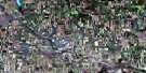
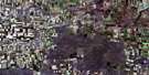
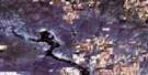
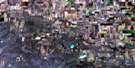
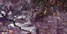
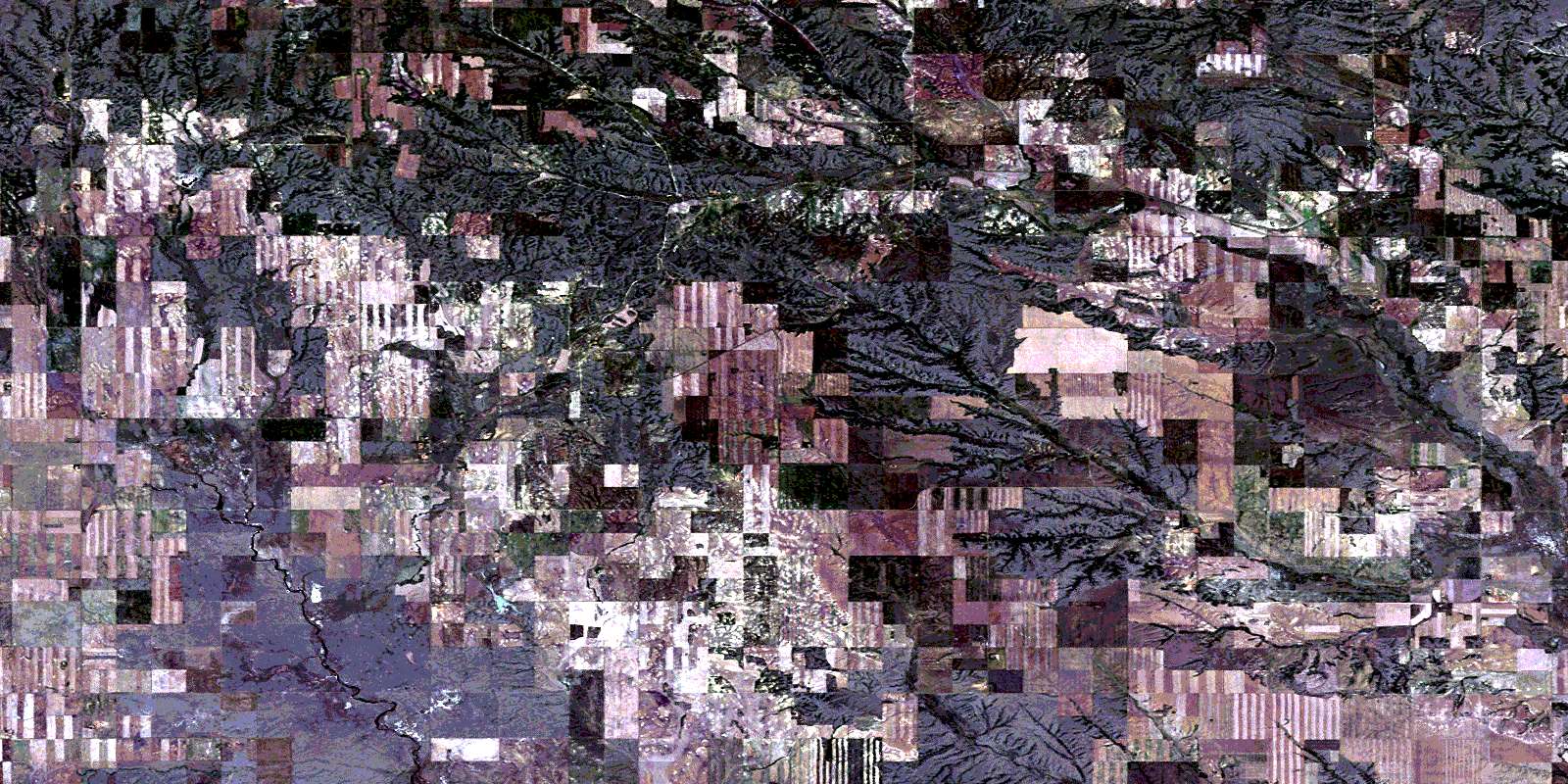
Canopus Satellite Image Map
Download Free Aerial Photo 072G01 at 1:50,000 scale
Canopus Satellite Imagery
To view this satellite map, mouse over the air photo on the right.
You can also download this satellite image map for free:
072G01 Canopus high-resolution satellite image map.
Maps for the Canopus aerial map sheet 072G01 at 1:50,000 scale are also available in these versions:
Canopus Surrounding Area Aerial Photo Maps
 |
 |
 |
 |
 |
 |
 |
 |
 |
 |
 |
 |
 |
 |
 |
 |
© Department of Natural Resources Canada. All rights reserved.
Canopus Gazetteer
The following places can be found on satellite image map 072G01 Canopus:
Canopus Satellite Image: Mountains
Wood MountainCanopus Satellite Image: Other municipal/district area - miscellaneous
Old Post No. 43Poplar Valley No. 12
Canopus Satellite Image: Rivers
Bolster CreekBorder Creek
Borderland Creek
Coal Creek
Frontier Creek
Gilford Creek
Hay Meadow Creek
Horne Creek
Horse Thief Creek
Johnson Creek
Lost Child Creek
McIntyre Creek
Poplar River
Quantock Creek
Scaman Creek
Solverson Creek
Stewart Creek
West Poplar River
Canopus Satellite Image: Unincorporated areas
BorderlandCanopus
Killdeer
Lonesome Butte
Macworth
Quantock
Strathallen
West Poplar
Willowvale
© Department of Natural Resources Canada. All rights reserved.
