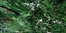
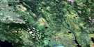
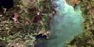
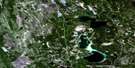
Wapawekka Narrows Satellite Image Map
Download Free Aerial Photo 073I16 at 1:50,000 scale
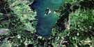
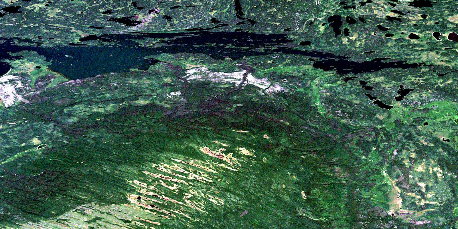
Wapawekka Narrows Satellite Imagery
To view this satellite map, mouse over the air photo on the right.
You can also download this satellite image map for free:
073I16 Wapawekka Narrows high-resolution satellite image map.
Maps for the Wapawekka Narrows aerial map sheet 073I16 at 1:50,000 scale are also available in these versions:
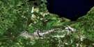
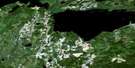
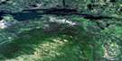
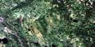
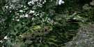
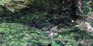
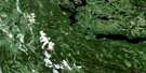
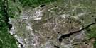
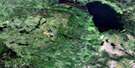
Wapawekka Narrows Surrounding Area Aerial Photo Maps
 |
 |
 |
 |
 |
 |
 |
 |
 |
 |
 |
 |
 |
 |
 |
 |
© Department of Natural Resources Canada. All rights reserved.
Wapawekka Narrows Gazetteer
The following places can be found on satellite image map 073I16 Wapawekka Narrows:
Wapawekka Narrows Satellite Image: Bays
Horn BayMcInnes Bay
Radar Bay
Signal Bay
Spencer Bay
Stephens Bay
Wapawekka Narrows Satellite Image: Capes
Worcester PeninsulaWapawekka Narrows Satellite Image: Channels
Jones ChannelWapawekka Narrows
Wapawekka Narrows Satellite Image: Islands
Bird IslandChurchman Island
Knight Island
Main Island
Pipestone Islands
Wilson Islands
Wapawekka Narrows Satellite Image: Lakes
Folkersen LakeGorieu Lake
Jira Lake
Kain Lake
Kidd Lake
Korpach Lake
Lacey Lake
Mang Lake
Middlemas Lake
Peart Lake
Povol Lake
Wapawekka Lake
Wapawekka Narrows Satellite Image: Mountains
Wapawekka HillsWapawekka Narrows Satellite Image: Rivers
Deschambault RiverKidd Creek
Kwas Creek
Mang Creek
Oskikebuk River
© Department of Natural Resources Canada. All rights reserved.
073I Related Maps:
073I Wapawekka Hills073I01 Scarth River
073I02 Summit Lake
073I03 Whiteswan Lakes
073I04 Montreal Lake South
073I05 Montreal Lake North
073I06 East Trout Lake
073I07 Little Bear Lake
073I08 Big Sandy Lake
073I09 Wapawekka Hills
073I10 Wuchewun River
073I11 Meeyomoot River
073I12 Montreal Rapids
073I13 Montreal River
073I14 Potato Lake
073I15 Wapawekka Lake
073I16 Wapawekka Narrows
