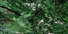
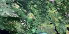
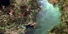
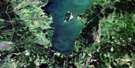
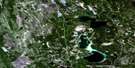
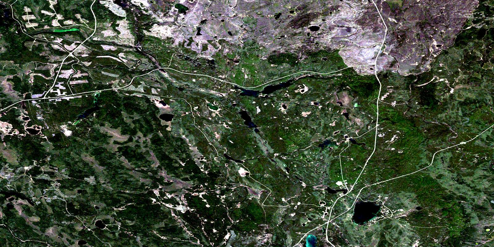
Summit Lake Satellite Image Map
Download Free Aerial Photo 073I02 at 1:50,000 scale
Summit Lake Satellite Imagery
To view this satellite map, mouse over the air photo on the right.
You can also download this satellite image map for free:
073I02 Summit Lake high-resolution satellite image map.
Maps for the Summit Lake aerial map sheet 073I02 at 1:50,000 scale are also available in these versions:
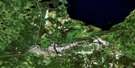
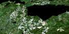
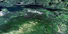
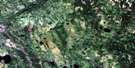
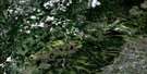
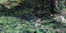
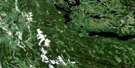
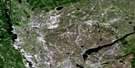
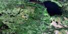
Summit Lake Surrounding Area Aerial Photo Maps
 |
 |
 |
 |
 |
 |
 |
 |
 |
 |
 |
 |
 |
 |
 |
 |
© Department of Natural Resources Canada. All rights reserved.
Summit Lake Gazetteer
The following places can be found on satellite image map 073I02 Summit Lake:
Summit Lake Satellite Image: Bays
Holloway BaySummit Lake Satellite Image: Capes
Smith PointSummit Lake Satellite Image: Lakes
Baldy LakeBurtlein Lake
Clarence Lake
Cojocar Lake
Diamond Lake
Divide Lake
Elrick Lake
Fairy Glen Lake
Heiberg Lake
Ispuchaw Lake
Jade Lake
Keewatin Lake
Kewanoke Lake
Laycock Lake
Lorenz Lake
Lost Echo Lake
Lower Echo Lake
Lower Fishing Lake
Mwoak Lakes
Nipawin Lake
Opal Lake
Pearl Lake
Perrson Lake
Pine Lake
Piprell Lake
Sapphire Lake
Shannon Lake
Stickley Lake
Stuart Lake
Summit Lake
Tent Lake
Tisdale Lake
Topaz Lake
Upper Fishing Lake
Summit Lake Satellite Image: Mountains
Cub HillsSummit Lake Satellite Image: Conservation areas
Clarence - Steepbank Lakes Provincial ParkNarrow Hills Provincial Park
Nipawin Provincial Park
Piprell Lake Recreation Site
Summit Lake Satellite Image: Rivers
Beaver CreekCaribou Creek
McDougal Creek
Stewart Creek
© Department of Natural Resources Canada. All rights reserved.
073I Related Maps:
073I Wapawekka Hills073I01 Scarth River
073I02 Summit Lake
073I03 Whiteswan Lakes
073I04 Montreal Lake South
073I05 Montreal Lake North
073I06 East Trout Lake
073I07 Little Bear Lake
073I08 Big Sandy Lake
073I09 Wapawekka Hills
073I10 Wuchewun River
073I11 Meeyomoot River
073I12 Montreal Rapids
073I13 Montreal River
073I14 Potato Lake
073I15 Wapawekka Lake
073I16 Wapawekka Narrows
