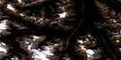
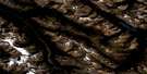
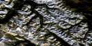
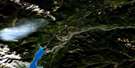
Cline River Satellite Image Map
Download Free Aerial Photo 083C02 at 1:50,000 scale
Cline River Satellite Imagery
To view this satellite map, mouse over the air photo on the right.
You can also download this satellite image map for free:
083C02 Cline River high-resolution satellite image map.
Maps for the Cline River aerial map sheet 083C02 at 1:50,000 scale are also available in these versions:
Cline River Surrounding Area Aerial Photo Maps
 |
 |
 |
 |
 |
 |
 |
 |
 |
 |
 |
 |
 |
 |
 |
 |
© Department of Natural Resources Canada. All rights reserved.
Cline River Gazetteer
The following places can be found on satellite image map 083C02 Cline River:
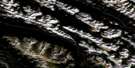
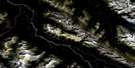
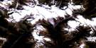
Cline River Satellite Image: Cliffs
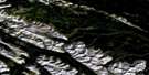
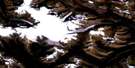
Weeping WallCline River Satellite Image: Glaciers
Huntington GlacierWilson Glacier
Wilson Icefield
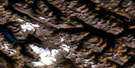
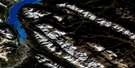
Cline River Satellite Image: Lakes
Coleman LakeLake of Falls
Landslide Lake
Michele Lakes
Norman Lake
Pinto Lake
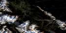
Cline River Satellite Image: Mountains
Cirrus MountainCloister Mountains
First Range
Lion Peak
Lioness Peak
Minster Mountain
Montagnes Rocheuses
Mount Amery
Mount Cline
Mount Coleman
Mount Stelfox
Mount Stewart
Mount Wilson
Purple Mountain
Resolute Mountain
Rocky Mountains
Sentinel Mountain
Whitegoat Peaks
Cline River Satellite Image: Major municipal/district area - major agglomerations
Clearwater CountyMunicipal District of Clearwater No. 99
Cline River Satellite Image: Other municipal/district area - miscellaneous
Improvement District No. 9Cline River Satellite Image: Conservation areas
Banff National Park of CanadaParc national du Canada Banff
White Goat Wilderness Area
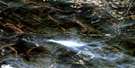
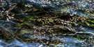
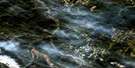
Cline River Satellite Image: Rivers
Alexandra RiverCataract Creek
Cline River
Coral Creek
Corona Creek
Entry Creek
Huntington Creek
McDonald Creek
Norman Creek
North Saskatchewan River
Owen Creek
Rampart Creek
Rivière Saskatchewan Nord
Shoe Leather Creek
Waterfalls Creek
Whitegoat Creek
Cline River Satellite Image: Valleys
Cline PassCline River Canyon
Coral Creek Canyon
Sunset Pass
Cline River Satellite Image: Low vegetation
Graveyard Flats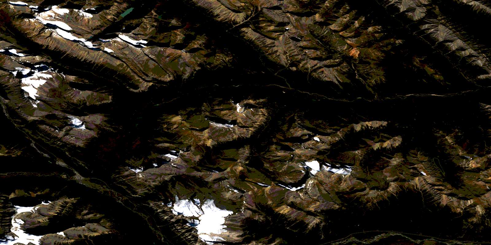
© Department of Natural Resources Canada. All rights reserved.
083C Related Maps:
083C Brazeau Lake083C01 Whiterabbit Creek
083C02 Cline River
083C03 Columbia Icefield
083C04 Clemenceau Icefield
083C05 Fortress Lake
083C06 Sunwapta Peak
083C07 Job Creek
083C08 Nordegg
083C09 Wapiabi Creek
083C10 George Creek
083C11 Southesk Lake
083C12 Athabasca Falls
083C13 Medicine Lake
083C14 Mountain Park
083C15 Cardinal River
083C16 Blackstone River
