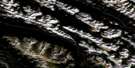
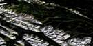
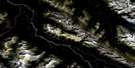
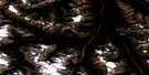
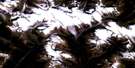
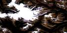
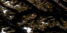
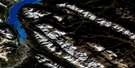
Whiterabbit Creek Satellite Image Map
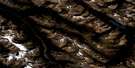
Download Free Aerial Photo 083C01 at 1:50,000 scale
Whiterabbit Creek Satellite Imagery
To view this satellite map, mouse over the air photo on the right.
You can also download this satellite image map for free:
083C01 Whiterabbit Creek high-resolution satellite image map.
Maps for the Whiterabbit Creek aerial map sheet 083C01 at 1:50,000 scale are also available in these versions:
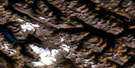
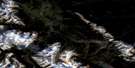
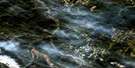
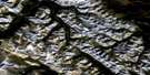
Whiterabbit Creek Surrounding Area Aerial Photo Maps
 |
 |
 |
 |
 |
 |
 |
 |
 |
 |
 |
 |
 |
 |
 |
 |
© Department of Natural Resources Canada. All rights reserved.
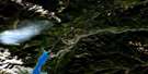
Whiterabbit Creek Gazetteer
The following places can be found on satellite image map 083C01 Whiterabbit Creek:
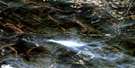
Whiterabbit Creek Satellite Image: Falls
Siffleur FallsWhiterabbit Creek Satellite Image: Lakes
Abraham LakeFarley Lake
Onion Lake
Whitegoat Lakes
Whiterabbit Creek Satellite Image: Mountains
Ardennes PeakElbe Peak
Elliott Peak
Ex Coelis Mountain
First Range
Montagnes Rocheuses
Mount Ernest Ross
Mount Michener
Mount William Booth
Normandy Peak
Ram Range
Rhine Peak
Rocky Mountain Foothills
Rocky Mountains
Sentinel Mountain
Stan Waters Peak
Whiterabbit Creek Satellite Image: Major municipal/district area - major agglomerations
Clearwater CountyMunicipal District of Clearwater No. 99
Whiterabbit Creek Satellite Image: Conservation areas
Siffleur Wilderness AreaWhiterabbit Creek Satellite Image: Plains
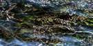
Kootenay PlainsWhiterabbit Creek Satellite Image: Rivers
Canary CreekCline River
Cripple Creek
Crooked Creek
Hummingbird Creek
Kiska Creek
Loudon Creek
North Ram River
North Saskatchewan River
Onion Creek
Otter Creek
Ram River
Rivière Saskatchewan Nord
Side Creek
Siffleur River
Two O'Clock Creek
Whitegoat Creek
Whiterabbit Creek
Wilson Creek
Whiterabbit Creek Satellite Image: Unincorporated areas
Cline RiverWhiterabbit Creek Satellite Image: Valleys
Cline River Canyon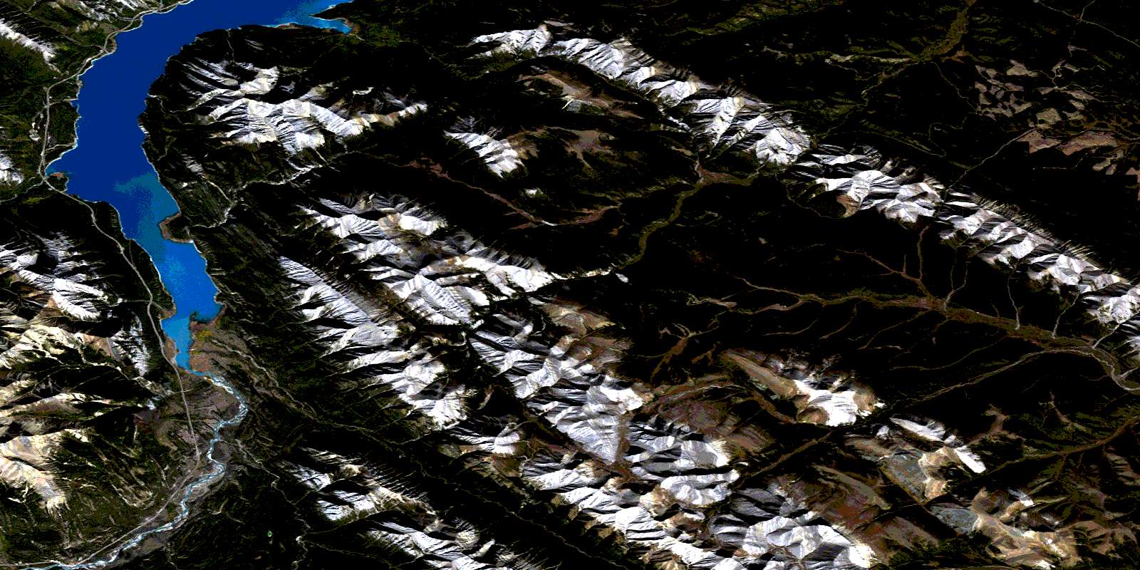
© Department of Natural Resources Canada. All rights reserved.
083C Related Maps:
083C Brazeau Lake083C01 Whiterabbit Creek
083C02 Cline River
083C03 Columbia Icefield
083C04 Clemenceau Icefield
083C05 Fortress Lake
083C06 Sunwapta Peak
083C07 Job Creek
083C08 Nordegg
083C09 Wapiabi Creek
083C10 George Creek
083C11 Southesk Lake
083C12 Athabasca Falls
083C13 Medicine Lake
083C14 Mountain Park
083C15 Cardinal River
083C16 Blackstone River
