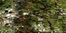
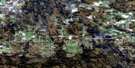
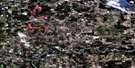
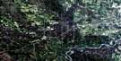
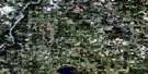
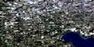
Hattonford Satellite Image Map
Download Free Aerial Photo 083G13 at 1:50,000 scale
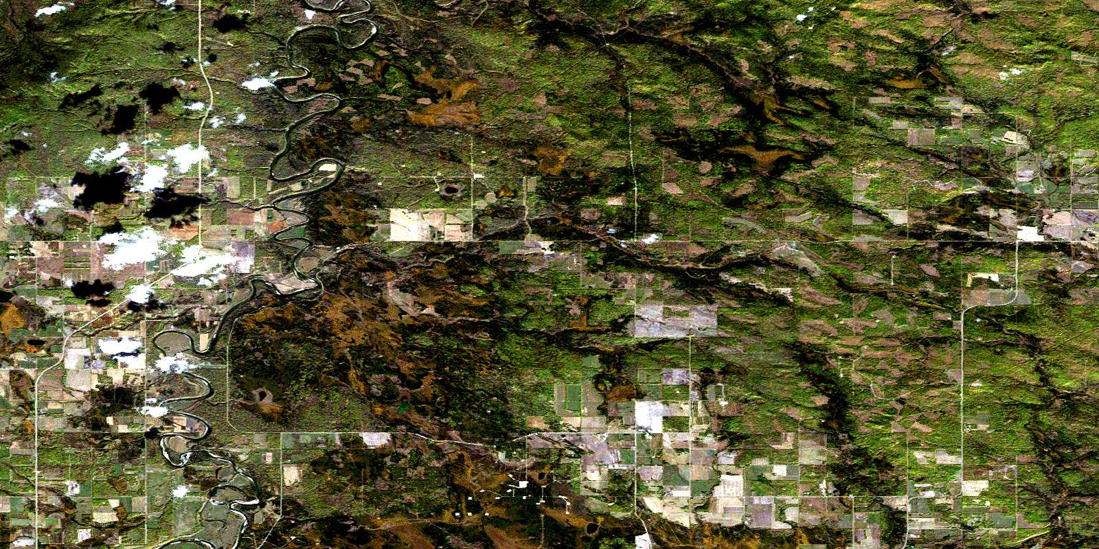
Hattonford Satellite Imagery
To view this satellite map, mouse over the air photo on the right.
You can also download this satellite image map for free:
083G13 Hattonford high-resolution satellite image map.
Maps for the Hattonford aerial map sheet 083G13 at 1:50,000 scale are also available in these versions:
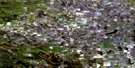
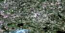
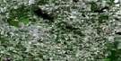
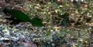
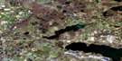
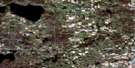
Hattonford Surrounding Area Aerial Photo Maps
 |
 |
 |
 |
 |
 |
 |
 |
 |
 |
 |
 |
 |
 |
 |
 |
© Department of Natural Resources Canada. All rights reserved.
Hattonford Gazetteer
The following places can be found on satellite image map 083G13 Hattonford:
Hattonford Satellite Image: Lakes
Shiningbank LakeHattonford Satellite Image: Major municipal/district area - major agglomerations
Municipal District of Woodlands No. 15Municipal District of Yellowhead No. 94
Woodlands County
Hattonford Satellite Image: Other municipal/district area - miscellaneous
Yellowhead Improvement District No. 14Hattonford Satellite Image: Rivers
Lost CreekMcLeod River
Paddle River
Poison Creek
Hattonford Satellite Image: Unincorporated areas
HaddockHattonford
Mahaska
Shining Bank
© Department of Natural Resources Canada. All rights reserved.
083G Related Maps:
083G Wabamun Lake083G01 Warburg
083G02 Drayton Valley
083G03 Blue Rapids
083G04 Zeta Lake
083G05 Eta Lake
083G06 Easyford
083G07 Tomahawk
083G08 Telfordville
083G09 Onoway
083G10 Isle Lake
083G11 Chip Lake
083G12 Carrot Creek
083G13 Hattonford
083G14 Mayerthorpe
083G15 Sangudo
083G16 Lac La Nonne
