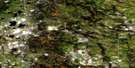
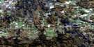
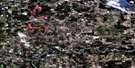
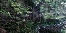
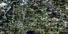
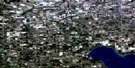
Onoway Satellite Image Map
Download Free Aerial Photo 083G09 at 1:50,000 scale
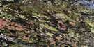
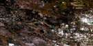
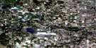
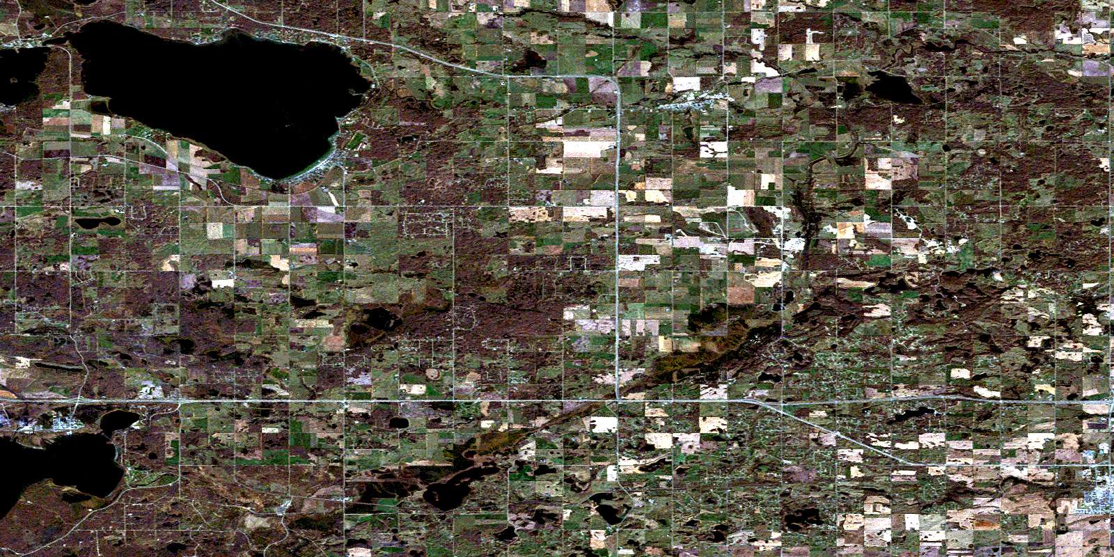
Onoway Satellite Imagery
To view this satellite map, mouse over the air photo on the right.
You can also download this satellite image map for free:
083G09 Onoway high-resolution satellite image map.
Maps for the Onoway aerial map sheet 083G09 at 1:50,000 scale are also available in these versions:
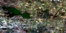
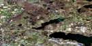
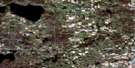
Onoway Surrounding Area Aerial Photo Maps
 |
 |
 |
 |
 |
 |
 |
 |
 |
 |
 |
 |
 |
 |
 |
 |
© Department of Natural Resources Canada. All rights reserved.
Onoway Gazetteer
The following places can be found on satellite image map 083G09 Onoway:
Onoway Satellite Image: Geographical areas
Lac Ste. Anne SettlementOnoway Satellite Image: Indian Reserves
Stoney Plain 135AWabamun 133A
Wabamun 133B
Onoway Satellite Image: Islands
Farming IslandOnoway Satellite Image: Lakes
Bell LakeByers Lake
Cameron Lakes
Chickakoo Lake
Cottage Lake
Eden Lake
Gerharts Lake
Glory Lake
Horse Lake
Hubbles Lake
Jack Fish Lake
Johnnys Lake
Kettle Lake
Lac Ste. Anne
Matchayaw Lake
Mere Lake
Mink Lake
Muskeg Lake
Salter's Lake
Sauer Lake
Soldan Lake
Spring Lake
Star Lake
Wabamun Lake
Onoway Satellite Image: Major municipal/district area - major agglomerations
County of Lac Ste. Anne No. 28County of Parkland No. 31
Lac Ste. Anne County
Municipal District of Sturgeon No. 90
Parkland County
Sturgeon County
Onoway Satellite Image: Conservation areas
Wabamun Lake Provincial ParkWabamun Provincial Park
Onoway Satellite Image: Rivers
Kilini CreekMink Creek
Sturgeon River
Toad Creek
Wabamun Creek
Onoway Satellite Image: Towns
Stony PlainOnoway Satellite Image: Unincorporated areas
AlexisBeach Corner
Bilby
Carvel
Carvel Corner
Duffield
Gunn
Heatherdown
Lac Ste. Anne
Manly
Manly Corner
Noyes Crossing
Smithfield
Onoway Satellite Image: Villages
Alberta BeachCastle Island
Edmonton Beach
Kapasiwin
Lakeview
Onoway
Point Alison
Ross Haven
Spring Lake
Sunset Point
Val Quentin
Wabamun
West Cove
Yellowstone
© Department of Natural Resources Canada. All rights reserved.
083G Related Maps:
083G Wabamun Lake083G01 Warburg
083G02 Drayton Valley
083G03 Blue Rapids
083G04 Zeta Lake
083G05 Eta Lake
083G06 Easyford
083G07 Tomahawk
083G08 Telfordville
083G09 Onoway
083G10 Isle Lake
083G11 Chip Lake
083G12 Carrot Creek
083G13 Hattonford
083G14 Mayerthorpe
083G15 Sangudo
083G16 Lac La Nonne
