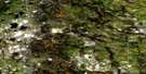
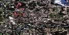
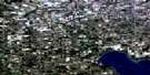
Lac La Nonne Satellite Image Map
Download Free Aerial Photo 083G16 at 1:50,000 scale
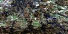
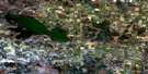
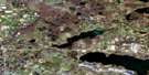
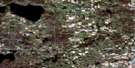
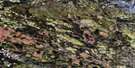
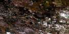
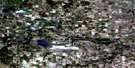
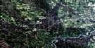
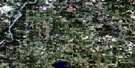
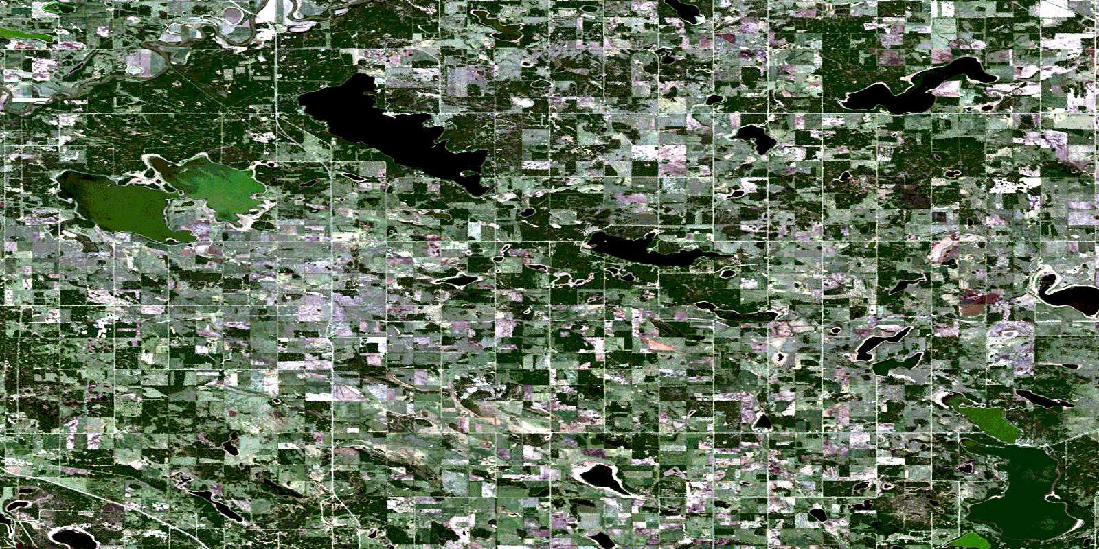
Lac La Nonne Satellite Imagery
To view this satellite map, mouse over the air photo on the right.
You can also download this satellite image map for free:
083G16 Lac La Nonne high-resolution satellite image map.
Maps for the Lac La Nonne aerial map sheet 083G16 at 1:50,000 scale are also available in these versions:
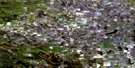
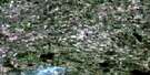
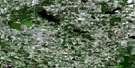
Lac La Nonne Surrounding Area Aerial Photo Maps
 |
 |
 |
 |
 |
 |
 |
 |
 |
 |
 |
 |
 |
 |
 |
 |
© Department of Natural Resources Canada. All rights reserved.
Lac La Nonne Gazetteer
The following places can be found on satellite image map 083G16 Lac La Nonne:
Lac La Nonne Satellite Image: Lakes
Bard LakeBirch Lake
Cranes Lake
Deadman Lake
Dechaine Lake
Geoffrey Lake
George Lake
Guy Lake
Horse Lake
Kakina Lake
Lac la Nonne
Majeau Lake
Nakamun Lake
Newton Lake
No Outlet Lake
Sandy Lake
St. Thomas Lake
Tamarack Lake
Toad Lake
Lac La Nonne Satellite Image: Major municipal/district area - major agglomerations
County of Barrhead No. 11County of Lac Ste. Anne No. 28
Lac Ste. Anne County
Municipal District of Sturgeon No. 90
Municipal District of Westlock No. 92
Lac La Nonne Satellite Image: Rivers
MacDonald CreekNewton Creek
Pembina River
Toad Creek
Lac La Nonne Satellite Image: Unincorporated areas
ArvillaBelvedere
Dunstable
Glenford
Lac la Nonne
Lake Majeau
Nakamun
Rich Valley
Sion
Stettin
Lac La Nonne Satellite Image: Villages
Birch CoveNakamun Park
Sandy Beach
Sunrise Beach
© Department of Natural Resources Canada. All rights reserved.
083G Related Maps:
083G Wabamun Lake083G01 Warburg
083G02 Drayton Valley
083G03 Blue Rapids
083G04 Zeta Lake
083G05 Eta Lake
083G06 Easyford
083G07 Tomahawk
083G08 Telfordville
083G09 Onoway
083G10 Isle Lake
083G11 Chip Lake
083G12 Carrot Creek
083G13 Hattonford
083G14 Mayerthorpe
083G15 Sangudo
083G16 Lac La Nonne
