Holman Island Satellite Image Map
Download Free Aerial Photo 087F10 at 1:50,000 scale
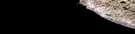
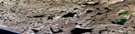
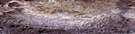
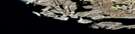
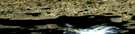
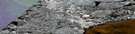
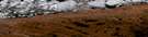
Holman Island Satellite Imagery
To view this satellite map, mouse over the air photo on the right.
You can also download this satellite image map for free:
087F10 Holman Island high-resolution satellite image map.
Maps for the Holman Island aerial map sheet 087F10 at 1:50,000 scale are also available in these versions:
Holman Island Surrounding Area Aerial Photo Maps
 |
 |
 |
|
 |
 |
||
 |
|||
 |
 |
© Department of Natural Resources Canada. All rights reserved.
Holman Island Gazetteer
The following places can be found on satellite image map 087F10 Holman Island:
Holman Island Satellite Image: Bays
Amundsen GulfFreshwater Bay
Jacks Bay
Kings Bay
Kuviaqturvialuk
Queens Bay
Shoal Bay
Holman Island Satellite Image: Beaches
NanualukNaullan
Holman Island Satellite Image: Capes
Diamond Jenness PeninsulaHattiktuq
Kunigvik
Maliniq
Nuvukhigak
Pituutaq
Umingmagyuk
Uqaq
Holman Island Satellite Image: Channels
Caution ChannelIngilraniq
Kangiryuaq
Nauyaan ikirahaa
Prince Albert Sound
Safety Channel
Tuqhuuk
Holman Island Satellite Image: Cliffs
QuaraukkatTakiyuq
Holman Island Satellite Image: Hamlets
HolmanUlukhaktok
Ulukhaktok
Holman Island Satellite Image: Islands
Albert IslandsHolman Island
Qikiqtaraluin
Qikiqtaryuaq
Qilukum qikiqtaa
Uqhuqhirvik
Victoria Island
Holman Island Satellite Image: Lakes
AahangiqtuqAgupqana
Amittualuk
Anaruvik
Hingilihuk
Hulurahuk
Kunaum tahia
Mashuyam tahia
Nipalaariyuk
Niviktuuyuq
Papilluum tahia
Qikiqtalik
RCAF Lake
Uyarahugyulik
Uyaraktuuq
Holman Island Satellite Image: Mountains
Bold BluffNauyaat
Ulukhaqtuuraluk
Uluksartok Bluff
Holman Island Satellite Image: Rivers
Ukpillik RiverHolman Island Satellite Image: River features
Nilak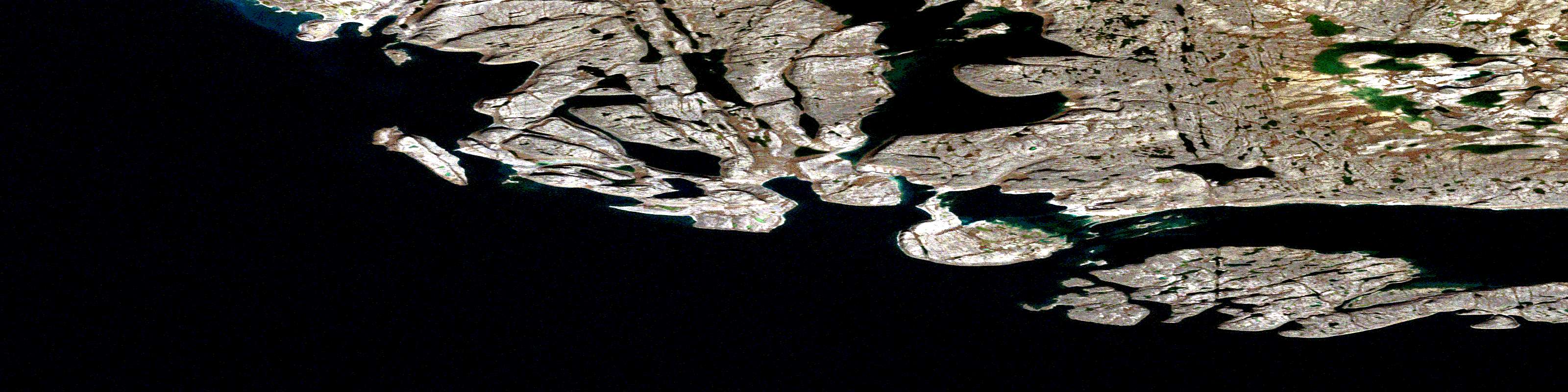
© Department of Natural Resources Canada. All rights reserved.
