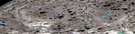
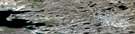
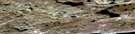
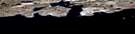
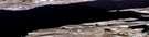
Winter Cove Satellite Image Map
Download Free Aerial Photo 087G10 at 1:50,000 scale
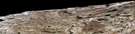
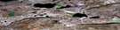
Winter Cove Satellite Imagery
To view this satellite map, mouse over the air photo on the right.
You can also download this satellite image map for free:
087G10 Winter Cove high-resolution satellite image map.
Maps for the Winter Cove aerial map sheet 087G10 at 1:50,000 scale are also available in these versions:
Winter Cove Surrounding Area Aerial Photo Maps
 |
 |
 |
|
 |
 |
 |
 |
 |
 |
 |
|
 |
 |
 |
© Department of Natural Resources Canada. All rights reserved.
Winter Cove Gazetteer
The following places can be found on satellite image map 087G10 Winter Cove:
Winter Cove Satellite Image: Bays
Boot InletJago Bay
Walker Bay
Winter Cove
Winter Cove Satellite Image: Capes
Crag PointPrince Albert Peninsula
Winter Cove Satellite Image: Islands
Victoria IslandWinter Cove Satellite Image: Mountains
Collingwood RangeFlagstaff Hill
Qiguuhuuk
Skead Bluff
Winter Cove Satellite Image: Unincorporated areas
Fort Collinson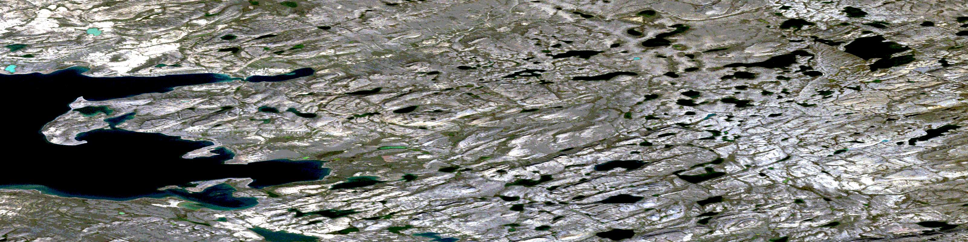
© Department of Natural Resources Canada. All rights reserved.
