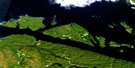
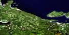
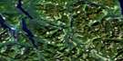
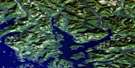
Adam River Satellite Image Map
Download Free Aerial Photo 092L08 at 1:50,000 scale
Adam River Satellite Imagery
To view this satellite map, mouse over the air photo on the right.
You can also download this satellite image map for free:
092L08 Adam River high-resolution satellite image map.
Maps for the Adam River aerial map sheet 092L08 at 1:50,000 scale are also available in these versions:
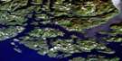
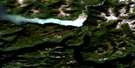
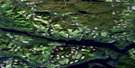
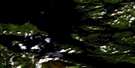
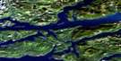
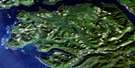
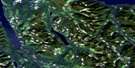
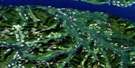
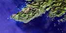
Adam River Surrounding Area Aerial Photo Maps
 |
 |
 |
 |
 |
 |
 |
 |
 |
 |
 |
 |
 |
 |
 |
 |
© Department of Natural Resources Canada. All rights reserved.
Adam River Gazetteer
The following places can be found on satellite image map 092L08 Adam River:
Adam River Satellite Image: Bays
Blenkinsop BayPort Neville
St. Vincent Bight
Adam River Satellite Image: Capes
Hickey PointNeville Point
Point George
Point Tuna
Ransom Point
Stimpson Point
Tuna Point
Windy Point
Adam River Satellite Image: Channels
Johnstone StraitAdam River Satellite Image: Cliffs
White BluffAdam River Satellite Image: Indian Reserves
Haylahte Indian Reserve 3Réserve indienne Haylahte 3
Adam River Satellite Image: Islands
Île de VancouverJesse Island
Milly Island
Vancouver Island
Adam River Satellite Image: Lakes
Haihte LakeKeta Lake
Rooney Lake
Tlowils Lake
Adam River Satellite Image: Mountains
Cederstedt MountainCollingwood Mount
Hardy Peak
Jagged Mountain
Juliet Mountain
Mount Cederstedt
Mount Elliott
Mount Hardy
Mount Juliet
Mount Nelson
Mount Palmerston
Mount Peel
Mount Romeo
Mount Russell
Mount St. Vincent
Nelson Range
Nelson Ridge
Newcastle Ridge
Romeo Mountain
Vancouver Island Mountains
Vancouver Island Ranges
Adam River Satellite Image: Major municipal/district area - major agglomerations
Regional District of Mount WaddingtonAdam River Satellite Image: Rivers
Adam RiverAldworth Creek
Capulet Creek
Cederstedt Creek
Cox Creek
Eve River
Kunnum Creek
Montague Creek
Naka Creek
Newcastle Creek
Palmerston Creek
Rooney Creek
Russell Creek
Schmidt Creek
Tessium Creek
Tlatlos Creek
Adam River Satellite Image: Shoals
Blink RockDatum Boulder
Elf Shoal
Stimpson Reef
Adam River Satellite Image: Unincorporated areas
Port Neville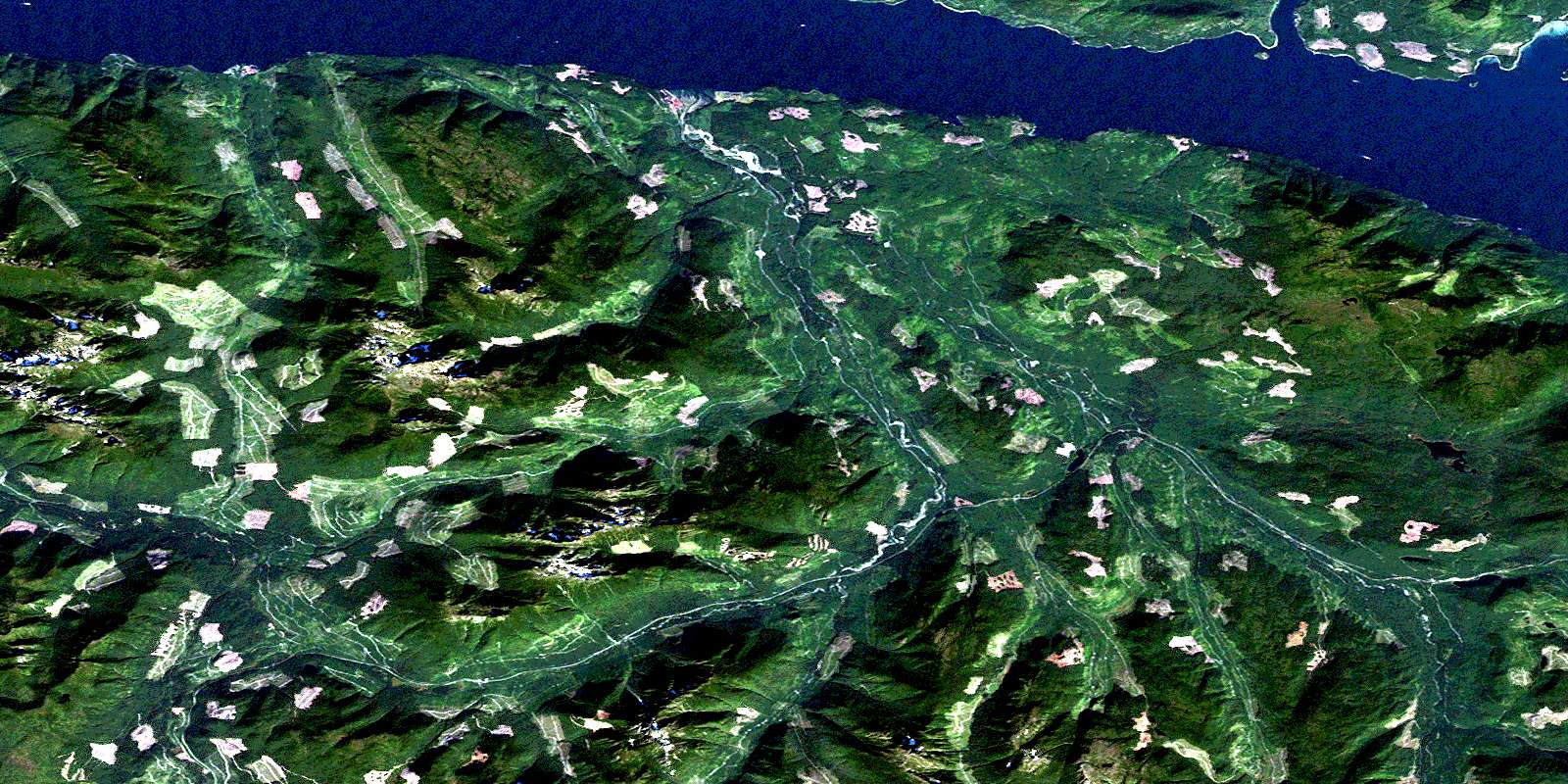
© Department of Natural Resources Canada. All rights reserved.
092L Related Maps:
092L Alert Bay092L01 Schoen Lake
092L02 Woss Lake
092L03 Kyuquot
092L04 Brooks Peninsula
092L05 Mahatta Creek
092L06 Alice Lake
092L07 Nimpkish
092L08 Adam River
092L09 Minstrel Island
092L10 Alert Bay
092L11 Port Mcneill
092L12 Quatsino
092L13 Shushartie
092L14 Bradley Lagoon
092L15 Broughton Island
092L16 Kingcome Inlet
