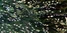
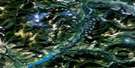
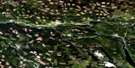
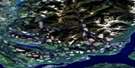
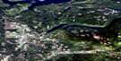
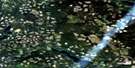
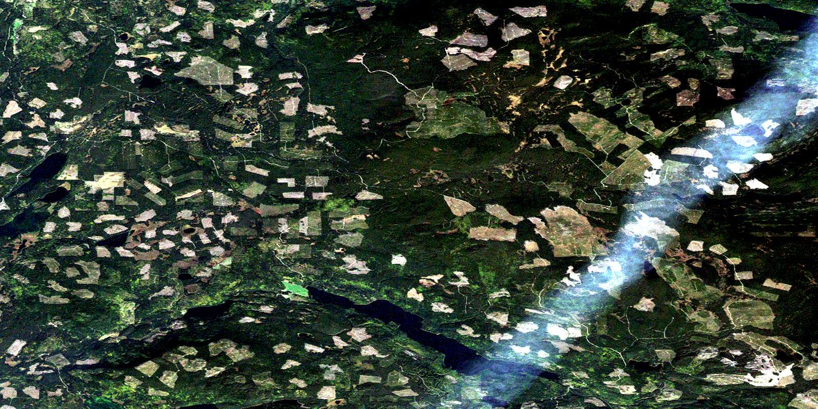
Eagle (Murphy) Lake Satellite Image Map
Download Free Aerial Photo 093A03 at 1:50,000 scale
Eagle (Murphy) Lake Satellite Imagery
To view this satellite map, mouse over the air photo on the right.
You can also download this satellite image map for free:
093A03 Eagle (Murphy) Lake high-resolution satellite image map.
Maps for the Eagle (Murphy) Lake aerial map sheet 093A03 at 1:50,000 scale are also available in these versions:
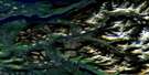
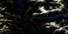
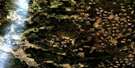
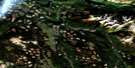
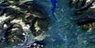
Eagle (Murphy) Lake Surrounding Area Aerial Photo Maps
 |
 |
 |
 |
 |
 |
 |
 |
 |
 |
 |
 |
 |
 |
 |
 |
© Department of Natural Resources Canada. All rights reserved.
Eagle (Murphy) Lake Gazetteer
The following places can be found on satellite image map 093A03 Eagle (Murphy) Lake:
Eagle (Murphy) Lake Satellite Image: Capes
Coyote PointMillie Point
Eagle (Murphy) Lake Satellite Image: Lakes
Coffee LakeCossack Lake
Eagle (Murphy) Lake
McIntosh Lakes
Moffat Lakes
Murphy (Eagle) Lake
Murphy Lake
Oie Lake
Spout Lake
Tillicum Lake
Tisdall Lake
Two Mile Lake
Walters Lake
Eagle (Murphy) Lake Satellite Image: Mountains
Quesnel HighlandEagle (Murphy) Lake Satellite Image: Major municipal/district area - major agglomerations
Cariboo Regional DistrictEagle (Murphy) Lake Satellite Image: Plains
Fraser PlateauInterior Plateau
Eagle (Murphy) Lake Satellite Image: Rivers
Blue Moon CreekBorthwick Creek
Buster Creek
Coyote Point Creek
Deerhorn Creek
Dry Creek
Eagle Creek
First Creek
Harrison Creek
Moffat Creek
Murphy Creek
Mussel Creek
Oie Creek
Thearon Creek
Tisdall Creek
Two Mile Creek
Woodjam Creek
© Department of Natural Resources Canada. All rights reserved.
093A Related Maps:
093A Quesnel Lake093A01 Clearwater Lake
093A02 Mckinley Creek
093A03 Eagle (Murphy) Lake
093A04 150 Mile House
093A05 Beaver Creek
093A06 Horsefly
093A07 Mackay River
093A08 Azure Lake
093A09 Hobson Lake
093A10 Quesnel Lake
093A11 Spanish Lake
093A12 Hydraulic
093A13 Swift River
093A14 Cariboo Lake
093A15 Mitchell Lake
093A16 Mount Winder
