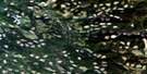
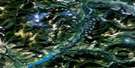
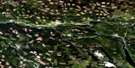
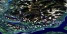
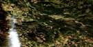
150 Mile House Satellite Image Map
Download Free Aerial Photo 093A04 at 1:50,000 scale
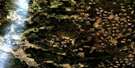
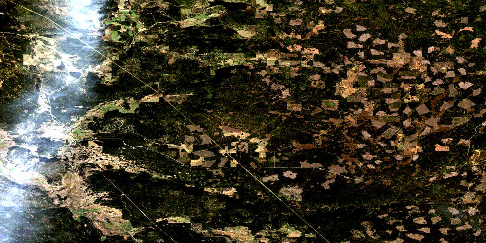
150 Mile House Satellite Imagery
To view this satellite map, mouse over the air photo on the right.
You can also download this satellite image map for free:
093A04 150 Mile House high-resolution satellite image map.
Maps for the 150 Mile House aerial map sheet 093A04 at 1:50,000 scale are also available in these versions:
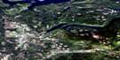
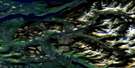
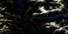
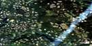
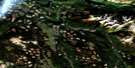
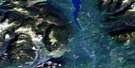
150 Mile House Surrounding Area Aerial Photo Maps
 |
 |
 |
 |
 |
 |
 |
 |
 |
 |
 |
 |
 |
 |
 |
 |
© Department of Natural Resources Canada. All rights reserved.
150 Mile House Gazetteer
The following places can be found on satellite image map 093A04 150 Mile House:
150 Mile House Satellite Image: Indian Reserves
Carpenter Mountain Indian Reserve 15Five Mile Indian Reserve 3
James Louie Indian Reserve 3A
Réserve indienne Carpenter Mountain 15
Réserve indienne Five Mile 3
Réserve indienne James Louie 3A
Réserve indienne Williams Lake 1
Williams Lake Indian Reserve 1
150 Mile House Satellite Image: Lakes
Beaux Yeux LakeBuchanan Lake
Cariboo Bill Lake
Cummings Lake
Dewar Lake
Dugan Lake
Goldpan Lake
Hansen Slough
Jones Lake
Kilgore Lake
McGuckin Lake
McIntosh Lakes
Miner Lake
Miocene Lake
Mission Ponds
O'Keefe Lake
Redeau Lake
Rose Lake
Seven Mile Lake
Spokin Lake
Squawk Lake
Twin Lake
Twin Lakes
Wheatley Lake
Yellow Lake
150 Mile House Satellite Image: Major municipal/district area - major agglomerations
Cariboo Regional District150 Mile House Satellite Image: Plains
Fraser PlateauInterior Plateau
150 Mile House Satellite Image: Rivers
Blue Moon CreekBorland Creek
Bruning Creek
Bruno Creek
Bunting Creek
Coldspring Creek
Felker Creek
Five Mile Creek
Fivemile Creek
Gravel Creek
Hawks Creek
Johnny Creek
Jones Creek
Kilgore Creek
Knife Creek
Macspring Creek
Roselake Creek
San Jose River
South Hawks Creek
Twin Lake Creek
Twinlake Creek
Valley Creek
Walters Creek
Walters Creek
Watters Creek
Wheatley Creek
Wise Creek
150 Mile House Satellite Image: Unincorporated areas
141 Mile House150 Mile House
158 Mile House
Cariboo Indian School
Dugan Lake
Halfway House
Johnson
Miocene
Ochiltree
Onward
St. Joseph Mission
Sugarcane
© Department of Natural Resources Canada. All rights reserved.
093A Related Maps:
093A Quesnel Lake093A01 Clearwater Lake
093A02 Mckinley Creek
093A03 Eagle (Murphy) Lake
093A04 150 Mile House
093A05 Beaver Creek
093A06 Horsefly
093A07 Mackay River
093A08 Azure Lake
093A09 Hobson Lake
093A10 Quesnel Lake
093A11 Spanish Lake
093A12 Hydraulic
093A13 Swift River
093A14 Cariboo Lake
093A15 Mitchell Lake
093A16 Mount Winder
