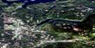
Azure Lake Satellite Image Map
Download Free Aerial Photo 093A08 at 1:50,000 scale
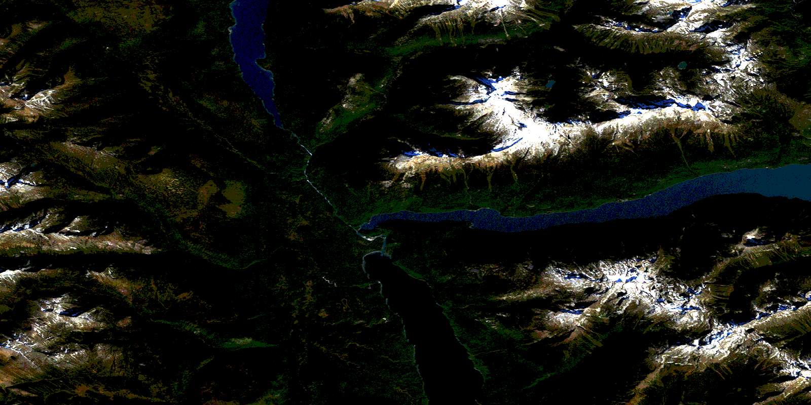
Azure Lake Satellite Imagery
To view this satellite map, mouse over the air photo on the right.
You can also download this satellite image map for free:
093A08 Azure Lake high-resolution satellite image map.
Maps for the Azure Lake aerial map sheet 093A08 at 1:50,000 scale are also available in these versions:
Azure Lake Surrounding Area Aerial Photo Maps
 |
 |
 |
 |
 |
 |
 |
 |
 |
 |
 |
 |
 |
 |
 |
 |
© Department of Natural Resources Canada. All rights reserved.
Azure Lake Gazetteer
The following places can be found on satellite image map 093A08 Azure Lake:
Azure Lake Satellite Image: Beaches
Huckleberry BeachAzure Lake Satellite Image: Capes
Indian PointAzure Lake Satellite Image: Falls
Crystal FallsGarnet Falls
Sundt Falls
Azure Lake Satellite Image: Glaciers
Garnet GlacierAzure Lake Satellite Image: Lakes
Azure LakeClearwater Lake
De Weiss Lake
Hobson Lake
Azure Lake Satellite Image: Mountains
Azure MountainBatoche
Buchanan Peak
Cariboo Mountain
Columbia Mountains
Garnet Peak
Mount Huntley
Mount Ray
Quesnel Highland
Tryfan Mountain
Zodiac Mountain
Azure Lake Satellite Image: Major municipal/district area - major agglomerations
Cariboo Regional DistrictAzure Lake Satellite Image: Conservation areas
Wells Gray ParkAzure Lake Satellite Image: Plains
Interior PlateauAzure Lake Satellite Image: Rivers
Archer CreekBaking Powder Creek
Barella Creek
Chisholm Creek
Clearwater River
Emery Creek
Falls Creek
Garnet Creek
Goat Creek
Ivor Creek
Lickskillet Creek
Molen Creek
Ovis Creek
Azure Lake Satellite Image: Valleys
Huntley ColSnowfield Col
© Department of Natural Resources Canada. All rights reserved.
093A Related Maps:
093A Quesnel Lake093A01 Clearwater Lake
093A02 Mckinley Creek
093A03 Eagle (Murphy) Lake
093A04 150 Mile House
093A05 Beaver Creek
093A06 Horsefly
093A07 Mackay River
093A08 Azure Lake
093A09 Hobson Lake
093A10 Quesnel Lake
093A11 Spanish Lake
093A12 Hydraulic
093A13 Swift River
093A14 Cariboo Lake
093A15 Mitchell Lake
093A16 Mount Winder
