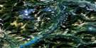
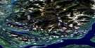
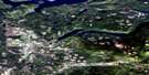
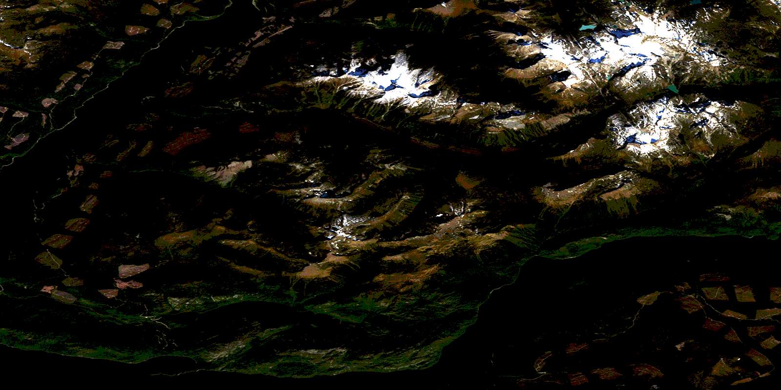
Quesnel Lake Satellite Image Map
Download Free Aerial Photo 093A10 at 1:50,000 scale
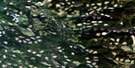
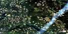
Quesnel Lake Satellite Imagery
To view this satellite map, mouse over the air photo on the right.
You can also download this satellite image map for free:
093A10 Quesnel Lake high-resolution satellite image map.
Maps for the Quesnel Lake aerial map sheet 093A10 at 1:50,000 scale are also available in these versions:
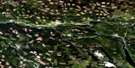
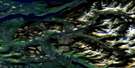
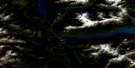
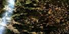
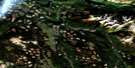
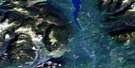
Quesnel Lake Surrounding Area Aerial Photo Maps
 |
 |
 |
 |
 |
 |
 |
 |
 |
 |
 |
 |
 |
 |
 |
 |
© Department of Natural Resources Canada. All rights reserved.
Quesnel Lake Gazetteer
The following places can be found on satellite image map 093A10 Quesnel Lake:
Quesnel Lake Satellite Image: Bays
Lynx BayNorth Arm
Peninsula Bay
Quesnel Lake Satellite Image: Capes
Bowling PointDeception Point
Hunters Camp Point
Hurricane Point
Limestone Point
Marten Point
Welcome Point
Quesnel Lake Satellite Image: Lakes
Buckingham LakeQuesnel Lake
Warttig Lake
Wasko Lakes
Quesnel Lake Satellite Image: Mountains
Cariboo MountainColumbia Mountains
Junction Mountain
Mount Lowry
Mount Watt
Mount Wotzke
Niagara Peak
Ogden Peak
Quartz Mountain
Quesnel Highland
Roaring Peaks
Three Ladies Mountain
Quesnel Lake Satellite Image: Major municipal/district area - major agglomerations
Cariboo Regional DistrictQuesnel Lake Satellite Image: Plains
Interior PlateauQuesnel Lake Satellite Image: Rivers
Adams CreekBill Miner Creek
Bouldery Creek
Buckingham Creek
Devoe Creek
Franks Creek
Isaiah Creek
Long Creek
Lynx Creek
Marten Creek
Penfold Creek
Roaring River
Service Creek
Wasko Creek
Watt Creek
© Department of Natural Resources Canada. All rights reserved.
093A Related Maps:
093A Quesnel Lake093A01 Clearwater Lake
093A02 Mckinley Creek
093A03 Eagle (Murphy) Lake
093A04 150 Mile House
093A05 Beaver Creek
093A06 Horsefly
093A07 Mackay River
093A08 Azure Lake
093A09 Hobson Lake
093A10 Quesnel Lake
093A11 Spanish Lake
093A12 Hydraulic
093A13 Swift River
093A14 Cariboo Lake
093A15 Mitchell Lake
093A16 Mount Winder
