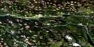
Horsefly Satellite Image Map
Download Free Aerial Photo 093A06 at 1:50,000 scale
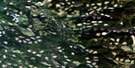
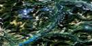
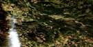
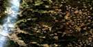
Horsefly Satellite Imagery
To view this satellite map, mouse over the air photo on the right.
You can also download this satellite image map for free:
093A06 Horsefly high-resolution satellite image map.
Maps for the Horsefly aerial map sheet 093A06 at 1:50,000 scale are also available in these versions:
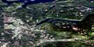
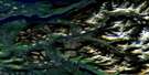
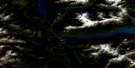
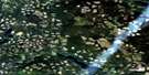
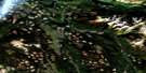
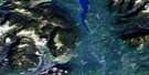
Horsefly Surrounding Area Aerial Photo Maps
 |
 |
 |
 |
 |
 |
 |
 |
 |
 |
 |
 |
 |
 |
 |
 |
© Department of Natural Resources Canada. All rights reserved.
Horsefly Gazetteer
The following places can be found on satellite image map 093A06 Horsefly:
Horsefly Satellite Image: Bays
Birch BayHorsefly Bay
Mitchell Bay
Horsefly Satellite Image: Capes
Beach PointHazeltine Point
Horsefly Peninsula
Lynx Peninsula
Ninds Point
Horsefly Satellite Image: Cliffs
Horn BluffHorsefly Satellite Image: Islands
Cariboo IslandHansen Island
Plato Island
Spirit Isle
Horsefly Satellite Image: Lakes
Abbott LakeAlah (Birch) Lake
Alah Lake
Antoine Lake
Arms Lake
Armstrong Lake
China Cabin Lake
Corner Lake
Dillabough Lake
Douglas Lake
Eric Lake
Gammarus Lake
Green Lake
Gruhs Lake
Harpers Lake
Hen Ingram (Ninemile) Lake
Hen Ingram Lake
Hooker Lake
Horsefly Lake
Jacques Lake
Jim Lowry Lake
Keno Lake
Kwun Lake
Lea (Meadow) Lake
Lea Lake
Lemon Lake
Little Horsefly Lake
Malcolm Lake
Melissa Lake
Murdock Lakes
Nikwit Lake
Niquidet Lake
Patenaude Lake
Quesnel Lake
Rat Lake
Ratdam Lake
Shiko Lake
Star Lake
Starlike Lake
Stillwater Lake
Sucker Lake
Sucre Lake
Triplet Lake
Ussa (Camp) Lake
Ussa Lake
Wawn Lake
Whiffle Lake
Wolftrack Lake
Horsefly Satellite Image: Mountains
Black MountainHorsefly Mountain
Quesnel Highland
Viewland Mountain
Horsefly Satellite Image: Major municipal/district area - major agglomerations
Cariboo Regional DistrictHorsefly Satellite Image: Conservation areas
Horsefly Lake ParkHorsefly Satellite Image: Plains
Fraser PlateauInterior Plateau
Horsefly Satellite Image: Rivers
Barker CreekBeaver Creek
Black Creek
China Cabin Creek
Club Creek
Deerhorn Creek
Dillabough Creek
East Fork Black Creek
Gibbons Creek
Horsefly River
Little Horsefly River
McKinley Creek
Moffat Creek
Mussel Creek
Niquidet Creek
Patenaude Creek
Spusks Creek
Sucker Creek
Tisdall Creek
Vedder Creek
Viewland Creek
Waddell Creek
Whiffle Creek
Whittle Creek
Wiffle Creek
Wilmot Creek
Winkley Creek
Woodjam Creek
Horsefly Satellite Image: Unincorporated areas
Black CreekHorsefly
Horsefly Satellite Image: Low vegetation
Barker Swamp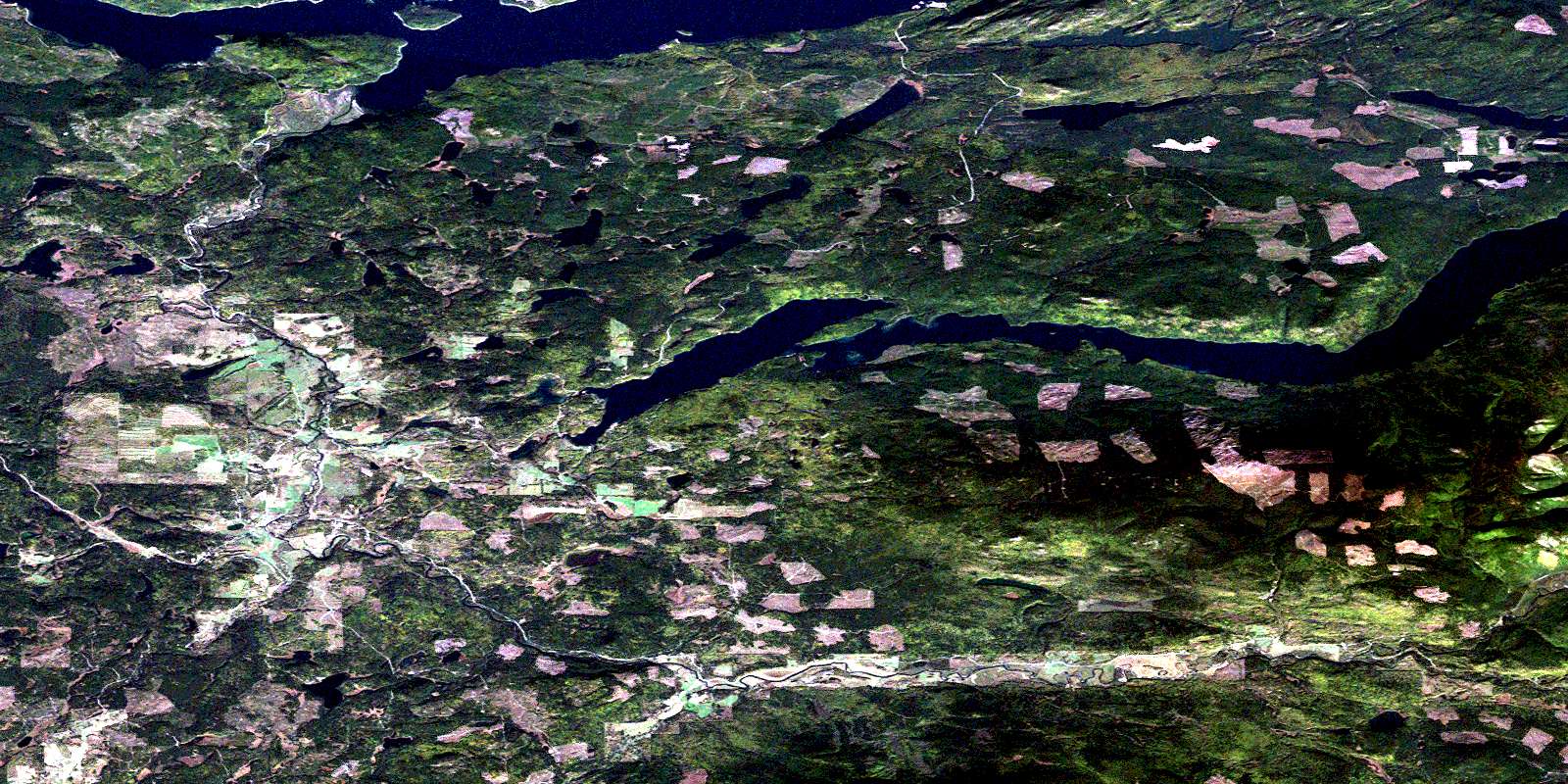
© Department of Natural Resources Canada. All rights reserved.
093A Related Maps:
093A Quesnel Lake093A01 Clearwater Lake
093A02 Mckinley Creek
093A03 Eagle (Murphy) Lake
093A04 150 Mile House
093A05 Beaver Creek
093A06 Horsefly
093A07 Mackay River
093A08 Azure Lake
093A09 Hobson Lake
093A10 Quesnel Lake
093A11 Spanish Lake
093A12 Hydraulic
093A13 Swift River
093A14 Cariboo Lake
093A15 Mitchell Lake
093A16 Mount Winder
