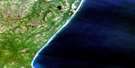
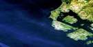
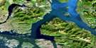
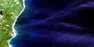
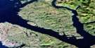
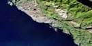
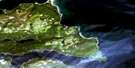
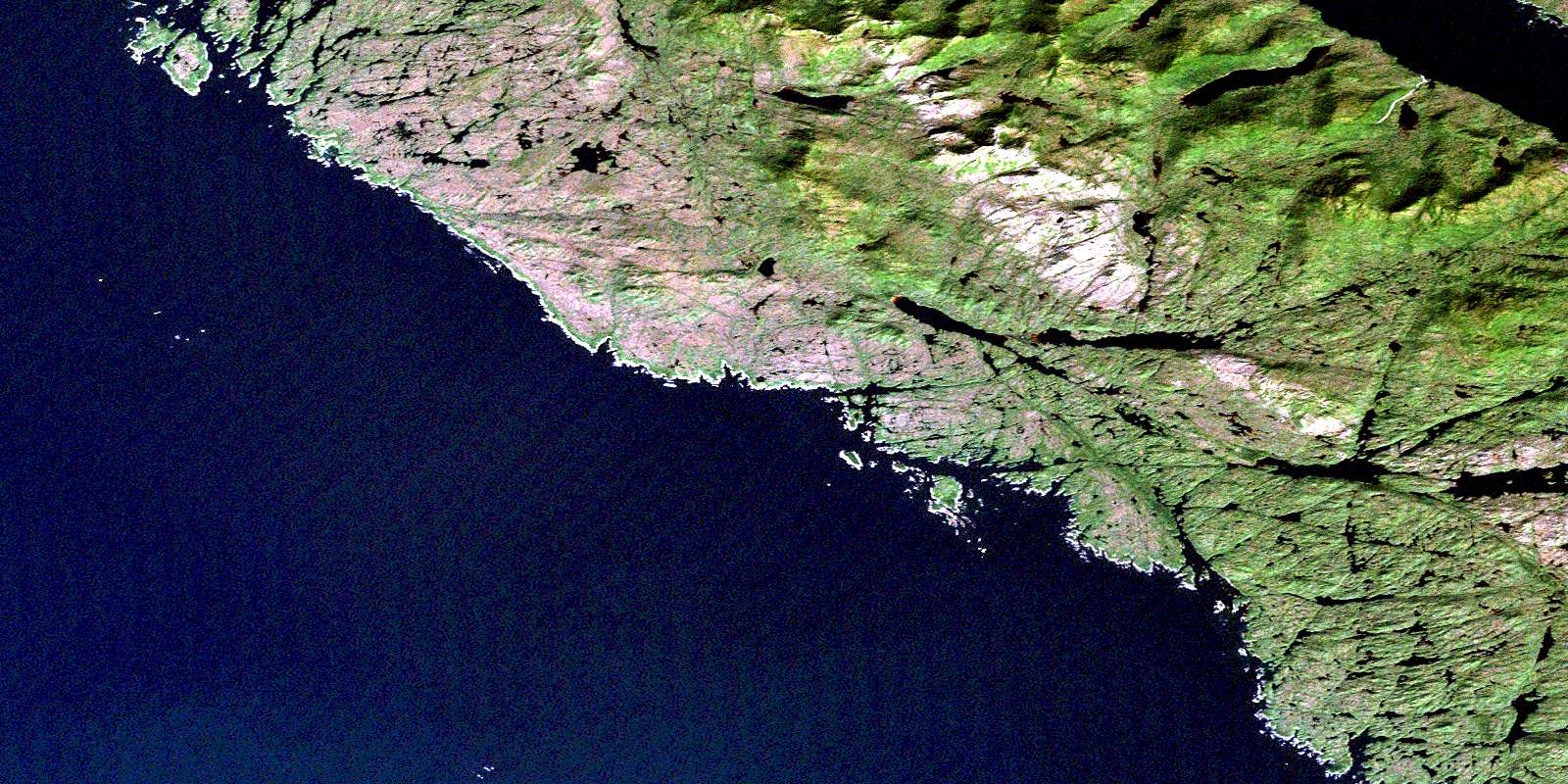
Banks Lakes Satellite Image Map
Download Free Aerial Photo 103G08 at 1:50,000 scale
Banks Lakes Satellite Imagery
To view this satellite map, mouse over the air photo on the right.
You can also download this satellite image map for free:
103G08 Banks Lakes high-resolution satellite image map.
Maps for the Banks Lakes aerial map sheet 103G08 at 1:50,000 scale are also available in these versions:
Banks Lakes Surrounding Area Aerial Photo Maps
 |
 |
 |
|
 |
 |
 |
|
 |
 |
 |
|
 |
© Department of Natural Resources Canada. All rights reserved.
Banks Lakes Gazetteer
The following places can be found on satellite image map 103G08 Banks Lakes:
Banks Lakes Satellite Image: Bays
Bonilla ArmFoul Bay
Kingkown Inlet
Patsey Cove
Survey Bay
Waller Bay
Banks Lakes Satellite Image: Capes
Cliff PointGrief Point
Kelp Point
Wreck Point
Banks Lakes Satellite Image: Channels
Hecate StraitPrincipe Channel
Reverie Passage
Stewart Passage
Banks Lakes Satellite Image: Islands
Anger IslandAntle Islands
Banks Island
Kirkendale Island
Shadforth Islands
Wreck Islands
Banks Lakes Satellite Image: Lakes
Banks LakeBanks Lakes
Donaldson Lake
Kooryet Lake
Waller Lake
Waller Lakes
Banks Lakes Satellite Image: Mountains
Carlo RangeMount Gransell
Philliskirk Hill
Banks Lakes Satellite Image: Major municipal/district area - major agglomerations
Regional District of Kitimat-StikineBanks Lakes Satellite Image: Rivers
Donaldson CreekWaller Creek
Banks Lakes Satellite Image: Shoals
Carlo RockGoring Reefs
Halibut Rocks
Hart Rock
Junk Ledge
McHarg Bank
North Danger Rocks
Surge Rocks
© Department of Natural Resources Canada. All rights reserved.
