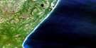
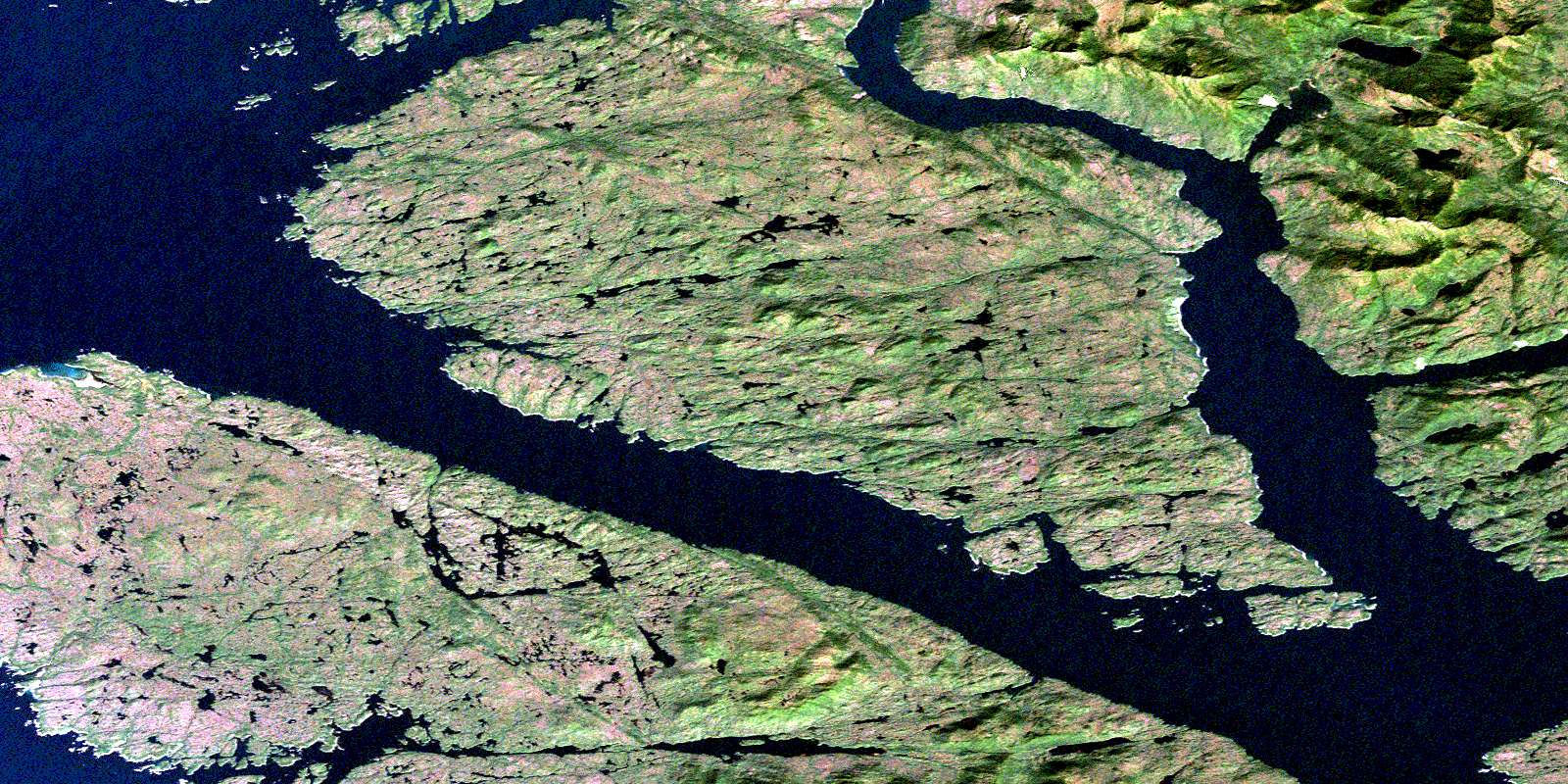
Mccauley Island Satellite Image Map
Download Free Aerial Photo 103G09 at 1:50,000 scale
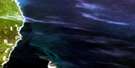
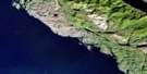
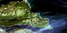
Mccauley Island Satellite Imagery
To view this satellite map, mouse over the air photo on the right.
You can also download this satellite image map for free:
103G09 Mccauley Island high-resolution satellite image map.
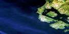
Maps for the Mccauley Island aerial map sheet 103G09 at 1:50,000 scale are also available in these versions:
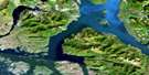
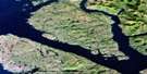
Mccauley Island Surrounding Area Aerial Photo Maps
 |
 |
 |
|
 |
 |
 |
|
 |
 |
 |
|
 |
© Department of Natural Resources Canada. All rights reserved.
Mccauley Island Gazetteer
The following places can be found on satellite image map 103G09 Mccauley Island:
Mccauley Island Satellite Image: Bays
Anger AnchorageBonilla Arm
Byers Bay
Colby Bay
Connis Cove
Deadman Inlet
Hevenor Inlet
Keswar Inlet
Keyarka Cove
Kingkown Inlet
Logan Bay
Logan Inlet
Murder Cove
Newcombe Harbour
Port Canaveral
Squall Bay
Mccauley Island Satellite Image: Capes
Allcroft PointBaird Point
Boys Point
Dimple Point
Elbow Point
Foul Point
Gibbons Point
Hankin Point
Headwind Point
Hevenor Point
Keswar Point
Laverock Point
Mathers Point
McCutcheon Point
Meet Point
Morrison Point
Petrel Point
Red Point
Robinson Point
Squall Point
Stark Point
Tonkin Point
Urquhart Point
Whalen Point
Mccauley Island Satellite Image: Channels
Allerton PassageBeaver Passage
Browning Entrance
Canaveral Passage
Dory Passage
Hecate Strait
Markle Passage
Petrel Channel
Principe Channel
Schooner Passage
Mccauley Island Satellite Image: Indian Reserves
Keswar Indian Reserve 16Keyarka Indian Reserve 17
Pitt Island Indian Reserve 27
Réserve indienne Keswar 16
Réserve indienne Keyarka 17
Réserve indienne Pitt Island 27
Mccauley Island Satellite Image: Islands
Anger IslandBanks Island
Bush Islet
Camp Islet
Channel Island
Christie Islands
Cliff Island
Cliff Islands
Dark Islet
Deadman Islet
Dixon Island
Dolphin Island
Freberg Islet
Friday Island
Friday Islands
Hevenor Islet
Kirkendale Island
Long Island
McCauley Island
Petrel Islets
Pitt Island
Ralph Island
Ralph Islands
Round Islet
Sentinel Island
Sentinel Islet
Shadforth Islands
Sheldon Islet
Sherman Islet
South Spicer Island
Spicer Island
Squall Island
Wheeler Island
Wright Island
Mccauley Island Satellite Image: Mountains
Carlo RangeCoast Mountains
End Hill
Hat Hill
Kitimat Ranges
Noble Mountain
Table Hill
Mccauley Island Satellite Image: Major municipal/district area - major agglomerations
Regional District of Kitimat-StikineMccauley Island Satellite Image: Shoals
Alarm RocksAlexander Shoal
Boys Rock
Canaveral Rock
Christie Rock
Clown Rock
Ethel Rock
Globe Rock
Goring Reefs
Hankin Rock
Ludlam Rock
Stephen Rocks
Terry Rock
Twain Rocks
© Department of Natural Resources Canada. All rights reserved.
