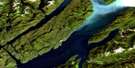
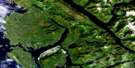
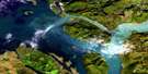
Tow Hill Satellite Image Map
Download Free Aerial Photo 103J04 at 1:50,000 scale
Tow Hill Satellite Imagery
To view this satellite map, mouse over the air photo on the right.
You can also download this satellite image map for free:
103J04 Tow Hill high-resolution satellite image map.
Maps for the Tow Hill aerial map sheet 103J04 at 1:50,000 scale are also available in these versions:
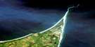
Tow Hill Surrounding Area Aerial Photo Maps
 |
|||
 |
 |
||
 |
 |
||
 |
 |
 |
© Department of Natural Resources Canada. All rights reserved.
Tow Hill Gazetteer
The following places can be found on satellite image map 103J04 Tow Hill:
Tow Hill Satellite Image: Bays
McIntyre BayTow Hill Satellite Image: Beaches
North BeachTow Hill Satellite Image: Capes
Fife PointRose Point
Rose Spit
Yakan Point
Tow Hill Satellite Image: Channels
Dixon EntranceHecate Strait
Tow Hill Satellite Image: Indian Reserves
Hiellen Indian Reserve 2Réserve indienne Hiellen 2
Réserve indienne Yagan 3
Yagan Indian Reserve 3
Tow Hill Satellite Image: Islands
Graham IslandQueen Charlotte Islands
Tow Hill Satellite Image: Lakes
Anser LakeClearwater Lake
Cygnet Lake
Grus Lake
Grus Lakes
Harelda Lakes
Herald Lake
Imber Lake
Kumara Lake
Lumme Lake
Mica Lake
Purdy Lake
Silver Lake
Tow Hill Satellite Image: Mountains
Argonaut HillSwan Hill
Tow Hill
Tow Hill Satellite Image: Conservation areas
Naikoon ParkTow Hill Park
Tow Hill Satellite Image: Rivers
Chown BrookHiellen River
Kliki Damen
Kliki Damen Creek
Sangan River
Skonun River
Swan Creek
Tow Hill Satellite Image: Unincorporated areas
Tow Hill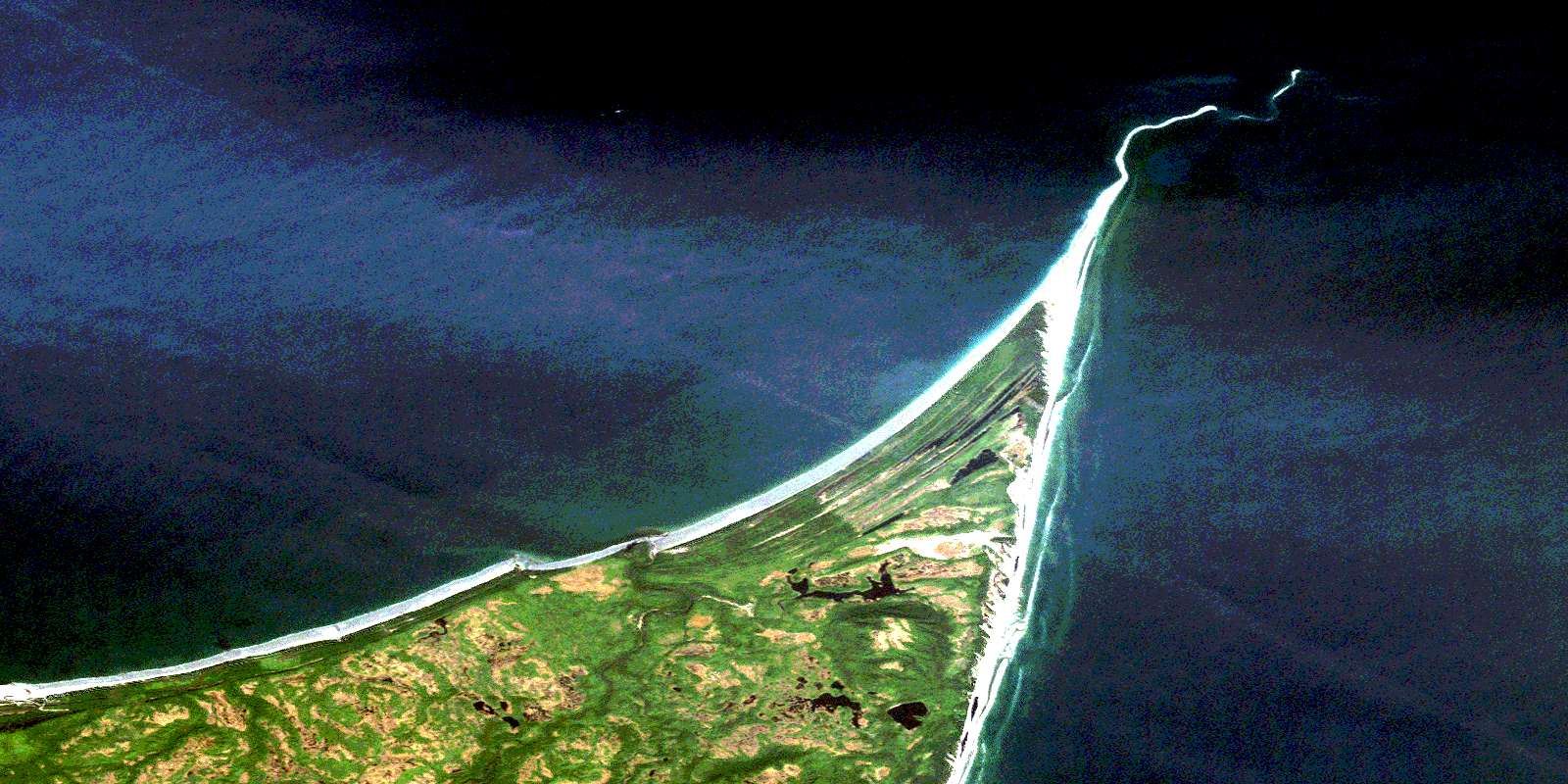
© Department of Natural Resources Canada. All rights reserved.
