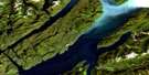
Port Simpson Satellite Image Map
Download Free Aerial Photo 103J09 at 1:50,000 scale
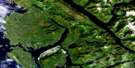
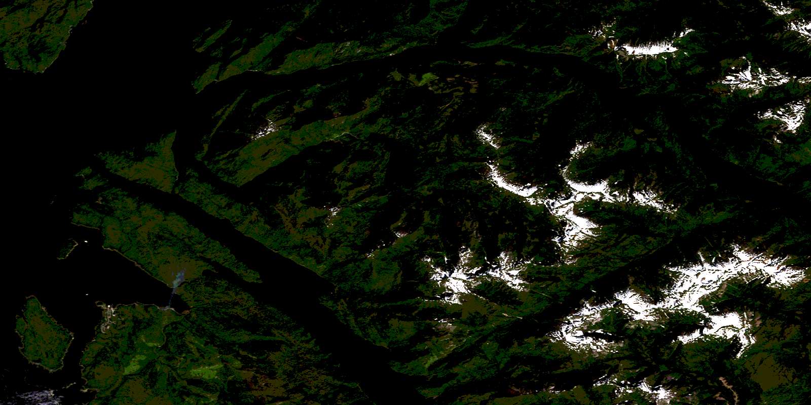
Port Simpson Satellite Imagery
To view this satellite map, mouse over the air photo on the right.
You can also download this satellite image map for free:
103J09 Port Simpson high-resolution satellite image map.
Maps for the Port Simpson aerial map sheet 103J09 at 1:50,000 scale are also available in these versions:
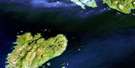
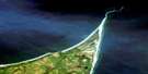
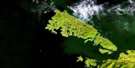
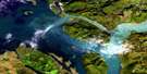
Port Simpson Surrounding Area Aerial Photo Maps
 |
|||
 |
 |
||
 |
 |
||
 |
 |
 |
© Department of Natural Resources Canada. All rights reserved.
Port Simpson Gazetteer
The following places can be found on satellite image map 103J09 Port Simpson:
Port Simpson Satellite Image: Bays
Chatham SoundEagle Bight
Grave Bay
Khutzeymateen Inlet
Kumeon Bay
Legace Bay
Otter Anchorage
Pearl Harbour
Port Simpson
Portland Inlet
Quottoon Inlet
Stumaun Bay
Trail Bay
Tsamspanaknok Bay
Union Bay
Union Inlet
Worsfold Bay
Zumtela Bay
Port Simpson Satellite Image: Capes
Bath PointCook Point
Duncan Point
Elliott Point
Emma Point
Father Point
Flewin Point
Fortune Point
Gordon Point
Grace Point
Grassy Point
Hay Point
Hook Point
John Point
Keemein Point
Knox Point
Lama Point
Maskelyne Point
McGregor Point
Picnic Point
Red Cliff Point
Redcliff Point
Rock Point
Sarah Point
Spakels Point
Trounce Point
Tsimpsean Peninsula
Wales Point
Walskakul Point
Welgeegenk Point
Port Simpson Satellite Image: Channels
Boat PassageCunningham Passage
Dodd Passage
Dudevoir Passage
Emma Passage
Inskip Passage
North Arm of Work Channel
Paradise Passage
Rushbrook Passage
Steamer Passage
Truro Passage
Wark Channel
Work Channel
Port Simpson Satellite Image: Indian Reserves
Birnie Island Indian Reserve 18Ensheshese Indian Reserve 13
Ensheshese Indian Reserve 53
Finlayson Island Indian Reserve 19
Knamadeek Indian Reserve 52
Ksabasn Indian Reserve 50
Ktamgaodzen Indian Reserve 51
Lax Kw'alaams 1
Lax Kw'alaams Indian Reserve 1
Me-yan-law Indian Reserve 47
Port Simpson Indian Reserve 1
Réserve indienne Birnie Island 18
Réserve indienne Ensheshese 13
Réserve indienne Ensheshese 53
Réserve indienne Finlayson Island 19
Réserve indienne Knamadeek 52
Réserve indienne Ksabasn 50
Réserve indienne Ktamgaodzen 51
Réserve indienne Lax Kw'alaams 1
Réserve indienne Me-yan-law 47
Réserve indienne Port Simpson 1
Réserve indienne Spakels 17
Réserve indienne Spokwan 48
Réserve indienne Tsimpsean 2
Réserve indienne Tymgowzan 12
Réserve indienne Union Bay 31
S1/2 Tsimpsean 2
Spakels Indian Reserve 17
Spokwan Indian Reserve 48
Tsimpsean Indian Reserve 2
Tymgowzan Indian Reserve 12
Union Bay Indian Reserve 31
Port Simpson Satellite Image: Islands
Birnie IslandFinlayson Island
Flat Top Islands
Hogan Island
Maskelyne Island
Mist Island
Nob Islet
One Tree Island
One Tree Islet
Parkin Islets
Rose Island
Somerville Island
Truro Island
Village Island
Wales Island
Port Simpson Satellite Image: Lakes
Crow LagoonCrow Lake
Ensheshese Lake
Little Union Lake
Ndakdolk Lake
Neaxtoalk Lake
Sarah Lake
Union Lake
Port Simpson Satellite Image: Mountains
Chaîne CôtièreCoast Mountains
Entry Peak
George Hill
Kitimat Ranges
Leading Peak
Lizzie Hill
Mount Ben
Mount Griffin
Mount McNeil
Town Hill
Port Simpson Satellite Image: Major municipal/district area - major agglomerations
Regional District of Kitimat-StikinePort Simpson Satellite Image: Rivers
Bear CreekEnsheshese River
Legiac Creek
McShane Creek
Mouse Creek
Salmon Creek
Stumaun Creek
Talahaat Creek
Union Creek
Port Simpson Satellite Image: Shoals
Barrat ShoalCentre Rock
Datum Rock
Dodd Rock
Hankin Reefs
Harbour Reefs
Pender Rock
Pinnacle Rock
Sager Rock
Sparrowhawk Rock
Walskakul Shoal
Port Simpson Satellite Image: Unincorporated areas
Lax Kw'alaamsPort Simpson
© Department of Natural Resources Canada. All rights reserved.
