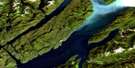
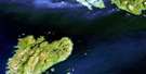
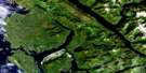
Pearse Island Satellite Image Map
Download Free Aerial Photo 103J16 at 1:50,000 scale
Pearse Island Satellite Imagery
To view this satellite map, mouse over the air photo on the right.
You can also download this satellite image map for free:
103J16 Pearse Island high-resolution satellite image map.
Maps for the Pearse Island aerial map sheet 103J16 at 1:50,000 scale are also available in these versions:
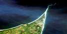
Pearse Island Surrounding Area Aerial Photo Maps
 |
|||
 |
 |
||
 |
 |
||
 |
 |
 |
© Department of Natural Resources Canada. All rights reserved.
Pearse Island Gazetteer
The following places can be found on satellite image map 103J16 Pearse Island:
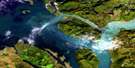
Pearse Island Satellite Image: Bays
Kwinamass BayLizard Cove
Manzanita Cove
Nasoga Gulf
Observatory Inlet
Portland Inlet
Somerville Bay
Wales Harbour
Winter Harbour
Winter Inlet
Pearse Island Satellite Image: Capes
Bartlett PointCliff Point
Crag Point
Flat Point
Gadu Point
Lizard Point
Low Point
Mylor Peninsula
Pirate Point
Portland Point
Ramsden Point
Red Cliff Point
Start Point
Stick Point
Swaine Point
Trefusis Point
Yakaskalui Point
Pearse Island Satellite Image: Channels
Pearse CanalPortland Canal
Steamer Passage
Tongass Passage
Wales Passage
Pearse Island Satellite Image: Indian Reserves
Kinnamax Indian Reserve 15Knames Indian Reserve 45
Knames Indian Reserve 46
Ksadagamks Indian Reserve 43
Maklaksadagmaks Indian Reserve 41
Maklaksadagmaks Indian Reserve 42
Réserve indienne Kinnamax 15
Réserve indienne Knames 45
Réserve indienne Knames 46
Réserve indienne Ksadagamks 43
Réserve indienne Maklaksadagmaks 41
Réserve indienne Maklaksadagmaks 42
Réserve indienne Talahaat 16
Talahaat Indian Reserve 16
Pearse Island Satellite Image: Islands
Pearse Canal IslandPearse Island
Ranger Islet
Safa Islands
Somerville Island
Wales Island
York Island
Pearse Island Satellite Image: Mountains
Ashington RangeBoundary Ranges
Chaîne Côtière
Coast Mountains
Hat Mountain
Kitimat Ranges
Port Mountain
Xk'aat'aapgwit
Pearse Island Satellite Image: Major municipal/district area - major agglomerations
Regional District of Kitimat-StikinePearse Island Satellite Image: Rivers
Bear CreekChambers Creek
Ksi X'anmas
Kwinamass River
Matheson Creek
Talahaat Creek
Pearse Island Satellite Image: Miscellaneous sites
TxaalaxhatkwX'anmas
Pearse Island Satellite Image: Unincorporated areas
Arrandale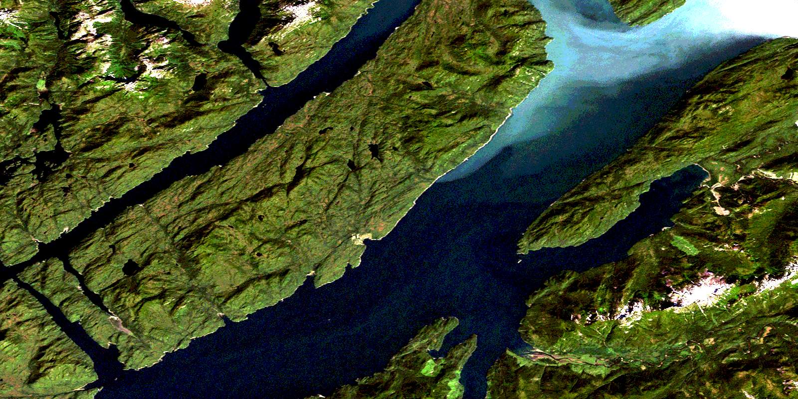
© Department of Natural Resources Canada. All rights reserved.
