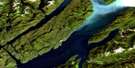
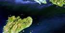
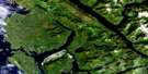
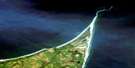
Dundas Island Satellite Image Map
Download Free Aerial Photo 103J10 at 1:50,000 scale
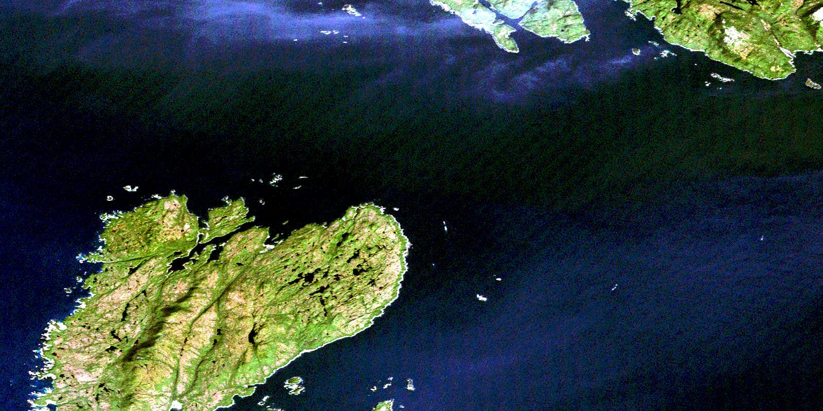
Dundas Island Satellite Imagery
To view this satellite map, mouse over the air photo on the right.
You can also download this satellite image map for free:
103J10 Dundas Island high-resolution satellite image map.
Maps for the Dundas Island aerial map sheet 103J10 at 1:50,000 scale are also available in these versions:
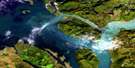
Dundas Island Surrounding Area Aerial Photo Maps
 |
|||
 |
 |
||
 |
 |
||
 |
 |
 |
© Department of Natural Resources Canada. All rights reserved.
Dundas Island Gazetteer
The following places can be found on satellite image map 103J10 Dundas Island:
Dundas Island Satellite Image: Bays
Boat HarbourBrundige Inlet
Goose Bay
Wales Harbour
Dundas Island Satellite Image: Capes
Aranzazu PointArniston Point
Jacinto Point
Prospector Point
Whitly Point
Dundas Island Satellite Image: Channels
Caamaño PassageDixon Entrance
Holliday Passage
Hudson Bay Passage
Main Passage
Oriflamme Passage
Tongass Passage
Dundas Island Satellite Image: Indian Reserves
Channel Islands Indian Reserve 33Dundas Island Indian Reserve 32B
Ksadsks Indian Reserve 44
Réserve indienne Channel Islands 33
Réserve indienne Dundas Island 32B
Réserve indienne Ksadsks 44
Réserve indienne Zayas Island 32A
Zayas Island Indian Reserve 32A
Dundas Island Satellite Image: Islands
Boston IslandsDucie Island
Ducie Islet
Dundas Island
Dundas Islands
Fitch Island
Gnarled Islands
Green Island
Grey Island
Grey Islet
Haystack Island
Holliday Island
Proctor Islands
Randall Island
Tracy Island
Wales Island
White Islets
Whitesand Island
Zayas Island
Dundas Island Satellite Image: Mountains
Boundary RangesKitimat Ranges
Mount Bonwick
Mount Henry
Slab Hill
Table Hill
Dundas Island Satellite Image: Major municipal/district area - major agglomerations
Regional District of Kitimat-StikineDundas Island Satellite Image: Shoals
Bristol RockBrodie Rock
Connis Rocks
East Devil Rock
Pointer Rocks
© Department of Natural Resources Canada. All rights reserved.
