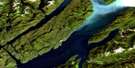
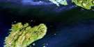
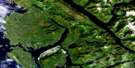
Stephens Island Satellite Image Map
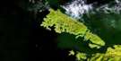
Download Free Aerial Photo 103J02 at 1:50,000 scale
Stephens Island Satellite Imagery
To view this satellite map, mouse over the air photo on the right.
You can also download this satellite image map for free:
103J02 Stephens Island high-resolution satellite image map.
Maps for the Stephens Island aerial map sheet 103J02 at 1:50,000 scale are also available in these versions:
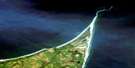
Stephens Island Surrounding Area Aerial Photo Maps
 |
|||
 |
 |
||
 |
 |
||
 |
 |
 |
© Department of Natural Resources Canada. All rights reserved.
Stephens Island Gazetteer
The following places can be found on satellite image map 103J02 Stephens Island:
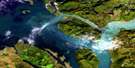
Stephens Island Satellite Image: Bays
Butler CoveChatham Sound
Qlawdzeet Anchorage
Refuge Bay
Secret Cove
Skiakl Bay
Useless Bay
Welcome Harbour
Stephens Island Satellite Image: Capes
Congreve PointEdwin Point
Goble Point
Hearndon Point
Hooper Point
Ibbetson Point
Ludlam Point
Morrell Point
Pearce Point
Riel Point
Skiakl Point
Surf Point
Table Point
Useless Point
View Point
Welcome Point
Stephens Island Satellite Image: Channels
Bell PassageBrown Passage
Canoe Passage
Chearnley Passage
Edye Passage
Hecate Strait
Prescott Passage
Stephens Passage
Stephens Island Satellite Image: Indian Reserves
Avery Island Indian Reserve 92Edye Indian Reserve 93
Réserve indienne Avery Island 92
Réserve indienne Edye 93
Réserve indienne Squaderee 91
Squaderee Indian Reserve 91
Stephens Island Satellite Image: Islands
Archibald IslandsArthur Island
Avery Island
Barrett Island
China Islet
Dancey Island
Dolly Island
Dunn Island
Fog Islands
Gun Island
Henry Island
Joyce Island
Knox Island
Log Island
Minnie Island
North Rachael Island
Parry Island
Parry Island
Philip Island
Porcher Island
Prescott Island
Rachael Islands
Rod Island
Skiakl Island
Snuff Islet
South Rachael Island
Stephens Island
Tree Nob Group
Trunk Island
William Island
Stephens Island Satellite Image: Mountains
Bell RangeCongreve Hill
Kitimat Ranges
Mount Stephens
Philip Cone
Qlawd Hill
Stephens Island Satellite Image: Rivers
Useless CreekStephens Island Satellite Image: Shoals
Alexandra BankAngle Rock
Butterworth Rocks
Clode Patch
Colquhoun Shoal
Evelyn Rocks
Gore-Langton Rock
Grenville Rock
Gull Rocks
Harris Rock
Kipcke Rock
Pitt Shoal
Roland Rocks
Seal Rocks
Skiakl Rock
Truscot Rock
Wallace Rocks
Warrior Rocks
Stephens Island Satellite Image: Unincorporated areas
Refuge Bay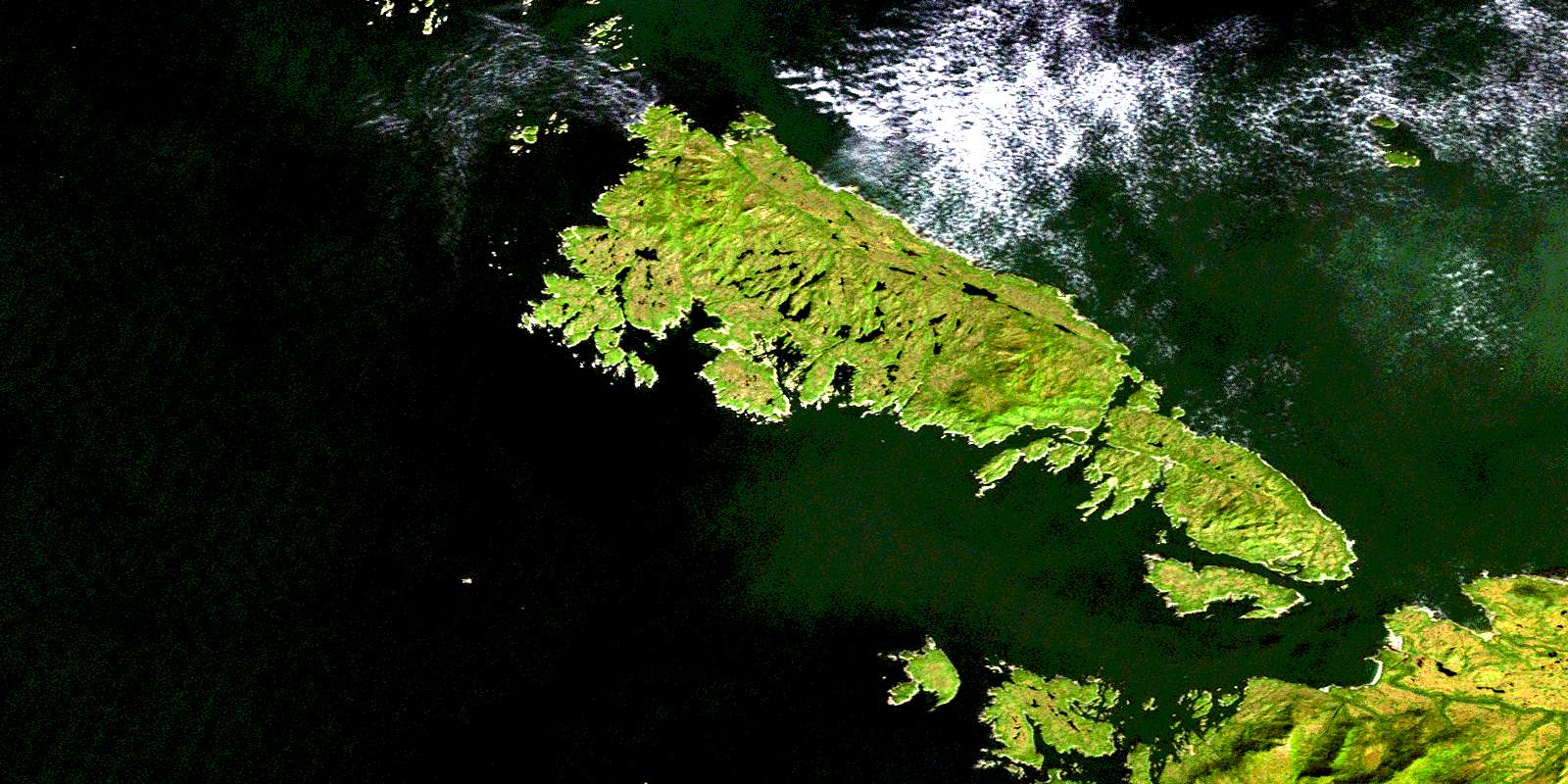
© Department of Natural Resources Canada. All rights reserved.
