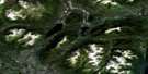
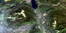
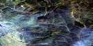
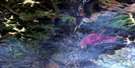
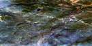
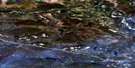
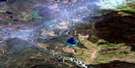
Watson Lake Satellite Image Map
Download Free Aerial Photo 105A02 at 1:50,000 scale
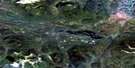
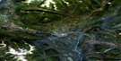
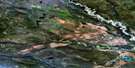
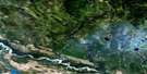
Watson Lake Satellite Imagery
To view this satellite map, mouse over the air photo on the right.
You can also download this satellite image map for free:
105A02 Watson Lake high-resolution satellite image map.
Maps for the Watson Lake aerial map sheet 105A02 at 1:50,000 scale are also available in these versions:
Watson Lake Surrounding Area Aerial Photo Maps
 |
 |
 |
 |
 |
 |
 |
 |
 |
 |
 |
 |
 |
 |
 |
 |
© Department of Natural Resources Canada. All rights reserved.
Watson Lake Gazetteer
The following places can be found on satellite image map 105A02 Watson Lake:
Watson Lake Satellite Image: Geographical areas
Cassiar Land DistrictWatson Lake Satellite Image: Lakes
Lingfish LakePorter Lakes
Watson Lake
Windid Lake
Wye Lake
Watson Lake Satellite Image: Provinces
British ColumbiaColombie-Britannique
Watson Lake Satellite Image: Rivers
Albert CreekAntone Creek
Cormier Creek
Fish Creek
Garden Creek
Liard River
Tom Creek
Watson Creek
Watson Lake Satellite Image: Road features
The Allan TrailWatson Lake Satellite Image: Territory
YukonWatson Lake Satellite Image: Towns
Watson LakeWatson Lake Wye
Watson Lake Satellite Image: Unincorporated areas
Upper LiardWatson Lake Satellite Image: Valleys
Liard Canyon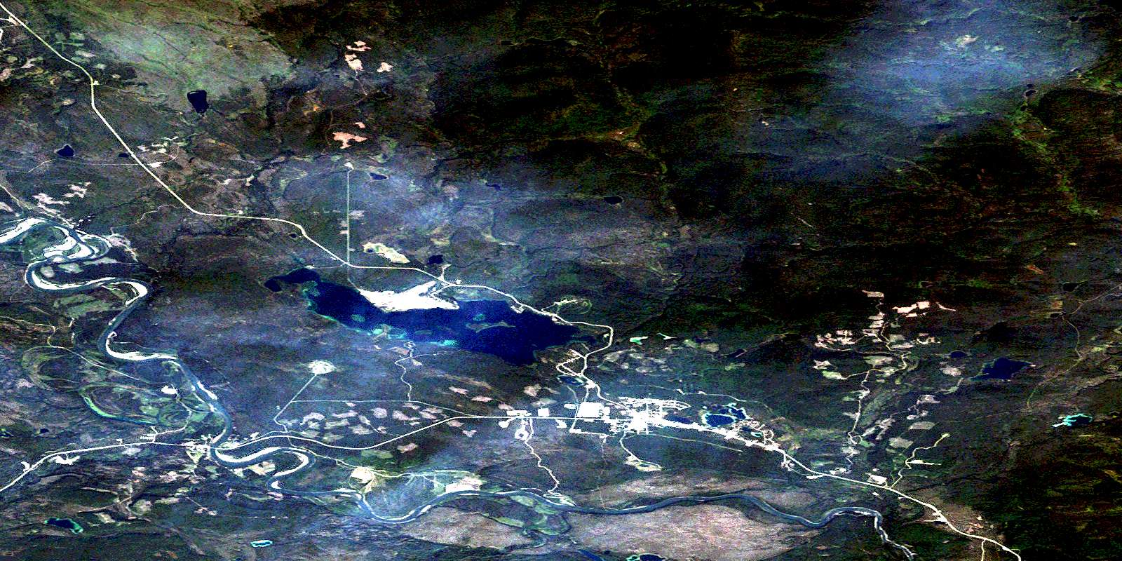
© Department of Natural Resources Canada. All rights reserved.
105A Related Maps:
105A Watson Lake105A01 Blind Lake
105A02 Watson Lake
105A03 Dodo Lakes
105A04 Allegretto Lake
105A05 False Pass Creek
105A06 Middle Canyon
105A07 Tom Lake
105A08 Sunrise Creek
105A09 Green River
105A10 Stewart Lake
105A11 False Canyon
105A12 Sambo Creek
105A13 Hasselberg Lake
105A14 Upper Canyon
105A15 Mount Murray
105A16 Taffie Creek
