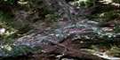
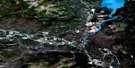
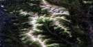
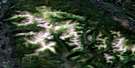
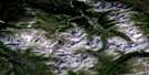
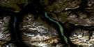
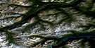
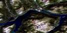
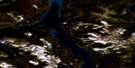
Whitehorse Satellite Image Map
Download Free Aerial Photo 105D11 at 1:50,000 scale
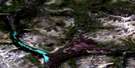
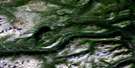
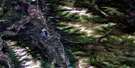
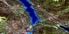
Whitehorse Satellite Imagery
To view this satellite map, mouse over the air photo on the right.
You can also download this satellite image map for free:
105D11 Whitehorse high-resolution satellite image map.
Maps for the Whitehorse aerial map sheet 105D11 at 1:50,000 scale are also available in these versions:
Whitehorse Surrounding Area Aerial Photo Maps
 |
 |
 |
 |
 |
 |
 |
 |
 |
 |
 |
 |
 |
 |
 |
 |
© Department of Natural Resources Canada. All rights reserved.
Whitehorse Gazetteer
The following places can be found on satellite image map 105D11 Whitehorse:
Whitehorse Satellite Image: City
WhitehorseWhitehorse Satellite Image: Indian Reserves
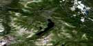
Whitehorse 8Whitehorse Satellite Image: Lakes
Bonneville LakesCoal Lake
Crater Lake
Ear Lake
Fish Lake
Franklin Lake
Ibex Lake
Ice Lake
Jackson Lakes
Jackson Lakes
Louise Lake
Schwatka Lake
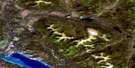
Whitehorse Satellite Image: Mountains
Boundary RangesChaîne Côtière
Coal Ridge
Coast Mountains
Golden Horn Mountain
Granger Mountain
Ibex Mountain
Mount Granger
Mount McIntyre
Mount Sumanik
Whitehorse Satellite Image: Conservation areas
Lieu historique national du Canada S.S. KlondikeS.S. Klondike National Historic Site of Canada
Whitehorse Satellite Image: Plains
Yukon PlateauWhitehorse Satellite Image: Rapids
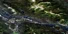
Whitehorse RapidsWhitehorse Satellite Image: Rivers
Croucher CreekFish Creek
Fleuve Yukon
Ibex River
Jackson Creek
Lewes River
McIntyre Creek
Porter Creek
Wolf Creek
Yukon River
Whitehorse Satellite Image: Unincorporated areas
CanyonCanyon Crescent
Ear Lake
Hillcrest
Riverdale
Takhini
Valleyview
Wigan
Whitehorse Satellite Image: Valleys
Miles Canyon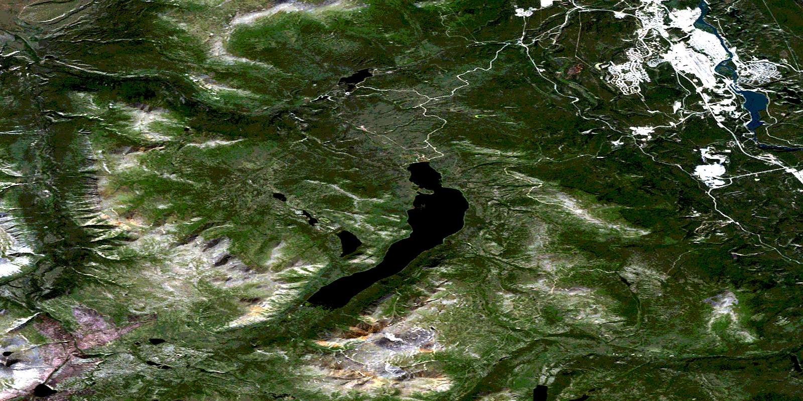
© Department of Natural Resources Canada. All rights reserved.
105D Related Maps:
105D Whitehorse105D01 Jubilee Mountain
105D02 Carcross
105D03 Fenwick Creek
105D04 Takhini Lake
105D05 Rose Lake
105D06 Alligator Lake
105D07 Robinson
105D08 Tagish
105D09 Michie Creek
105D10 Macrae
105D11 Whitehorse
105D12 Mount Arkell
105D13 Thirty Seven Mile Creek
105D14 Upper Laberge
105D15 Joe Mountain
105D16 Mount M'Clintock
